
- Home
-
Point of Interest
MunicipalityCategory
 La Palma
La isla Bonita - Contact
- La Palma Blog

From Llano de las Moscas to Pico Nambroque
Hike overview

3h 30min

Moderate

9,0 km

↑ 454 m ↓ 450 m
An insight into the hike:
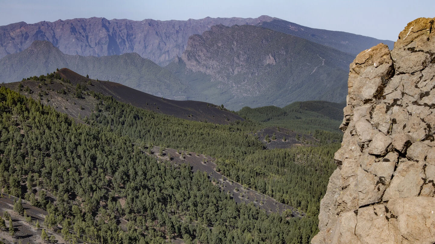
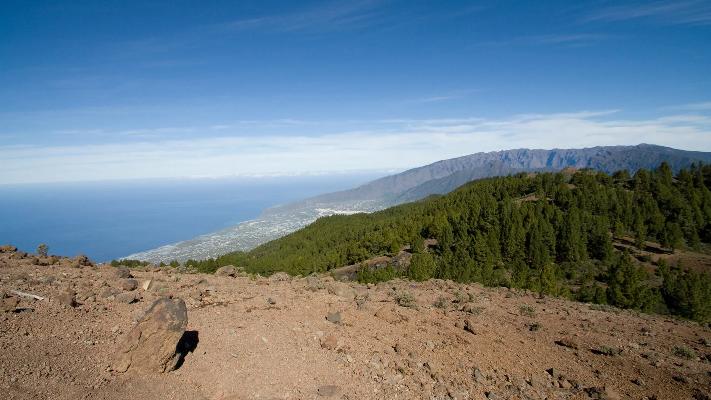
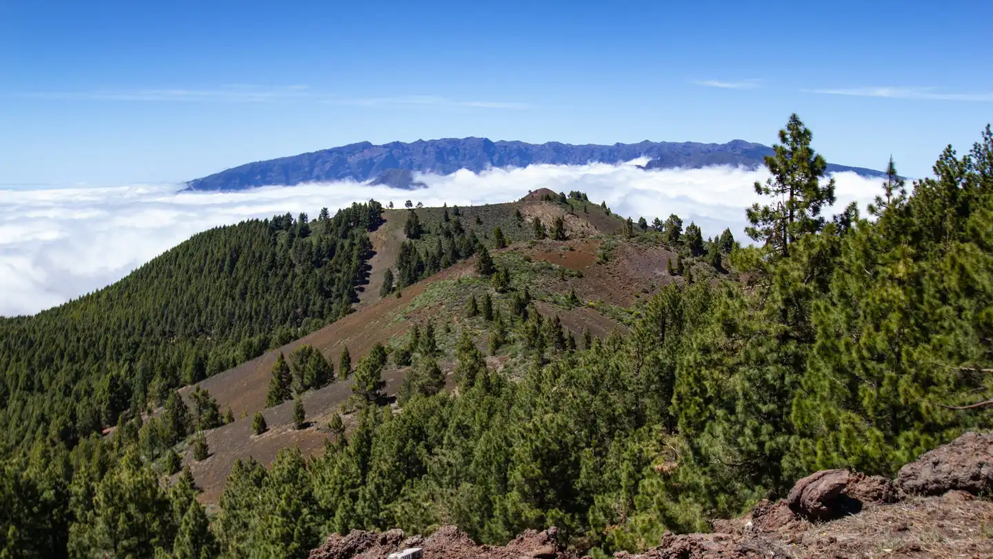
The hike begins at the unattended Refugio de las Moscas on the Llano de las Moscas plateau, covered by tree heath and rock roses. The SL-LP 125 initially follows a track through open Canary pine forest. The red cone of Montaña Calero repeatedly appears between the trees. As altitude increases, views extend along the east coast towards Santa Cruz de La Palma.
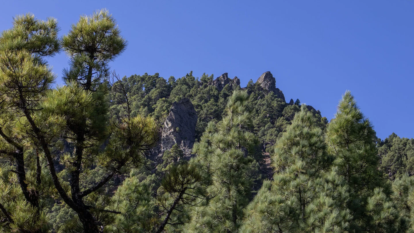
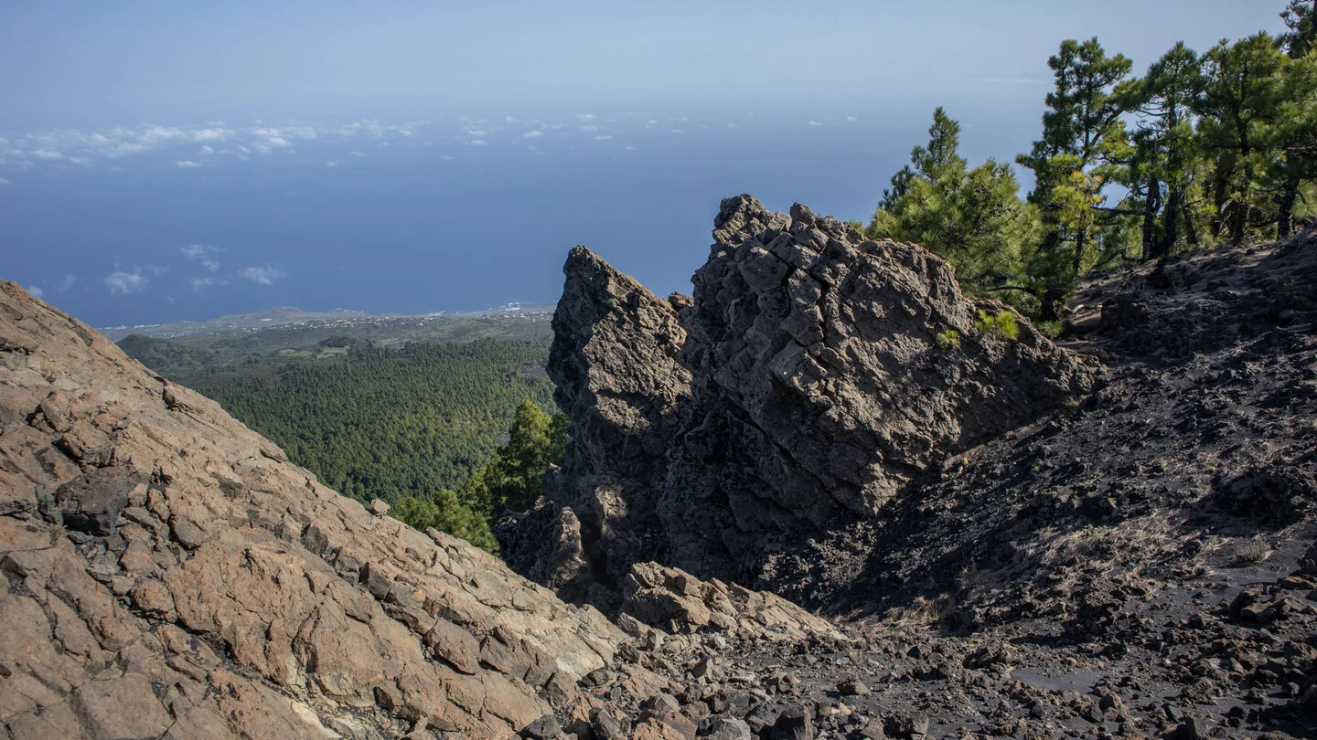
The trail gradually becomes narrower and steeper. Large boulders lie below Nambroque’s distinctive cliffs before a small natural stone staircase crosses a basalt wall. The path then traverses an erosion gully and an almost barren slope of brown-black lapilli. Moving from the shelter of the forest into open volcanic terrain is one of the hike’s most impressive transitions.
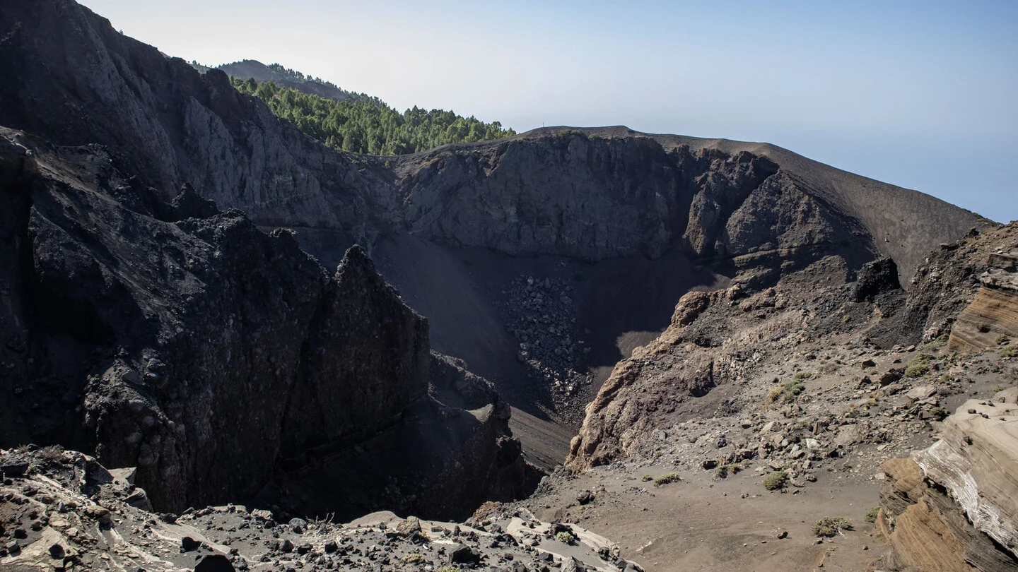
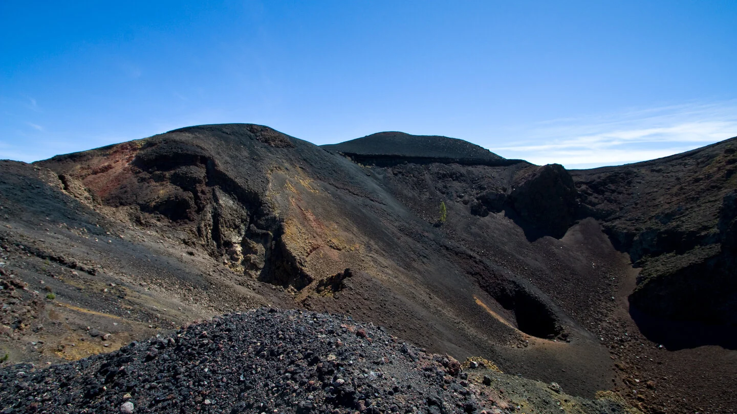
At the GR-131, the route reaches the ridge of the Ruta de los Volcanes. The dark explosion crater of Hoyo Negro reveals layers in numerous shades of brown and black, with Duraznero and the peaks of Deseada beyond. Smaller craters, a deep volcanic vent and a fissure leading towards the main crater line the summit approach. Pale phonolite domes clearly distinguish Pico Nambroque from neighbouring volcanoes formed mainly from cinders.
The rocky summit provides a broad panorama over Cumbre Vieja, Caldera de Taburiente, the Aridane Valley and both sides of the island. In exceptionally clear air, Mount Teide may appear between the pines. The return largely retraces the outward route and reveals the crater landscape from a new perspective. Loose lapilli and the steep summit path can be slippery downhill, so sure-footedness is important.
Nine kilometres and about 450 metres of ascent fit comfortably into half a walking day, but the remote approach requires planning. Sunhikes advises a four-wheel-drive vehicle for the Pista de Cabrito as far as the refuge; alternatively, start lower at a track junction and extend the approach on foot. Check weather, wind and wildfire conditions and carry water, food plus protection from sun and wind. The exact route, full tour description, current advice, elevation profile and GPS data are available from our partner Sunhikes.
On Sunhikes you will find comprehensive information about the tour, including GPS track, interactive 3D view, elevation profile and a detailed description.
Open the German original
Ready for this hike?
Plan your hike with GPS track, interactive 3D view and all essential tour data for a safe and perfect hike on La Palma.
👉 Automatically translate the Sunhikes tourOpen the German original
Nearby hiking routes
Discover more hikes nearby on La Palma, from easy trails to challenging routes with spectacular views.

Holiday Homes & Accommodation near Refugio de las Moscas – Stay on La Palma
Selected holiday homes nearby – perfect for short distances, nature experiences and relaxing holidays on La Palma.


