
- Home
-
Point of Interest
MunicipalityCategory
 La Palma
La isla Bonita - Contact
- La Palma Blog

Circular hike from Refugio El Pilar to Pico Birigoyo


Hike overview

3h

Moderate

5,1 km

↑ 376 m ↓ 377 m
An insight into the hike:
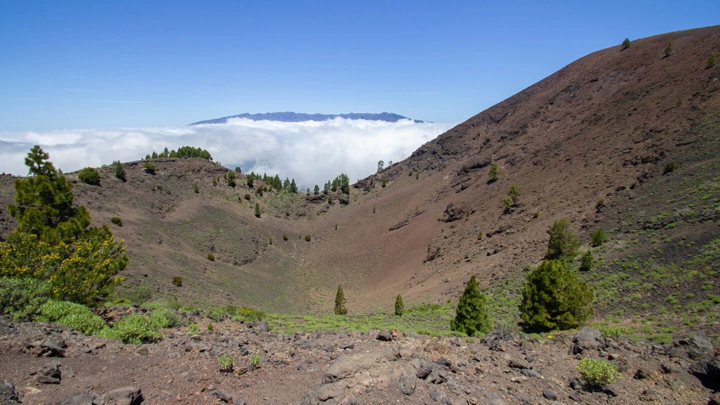
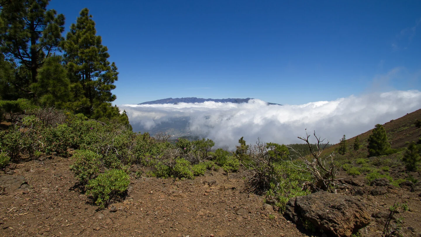
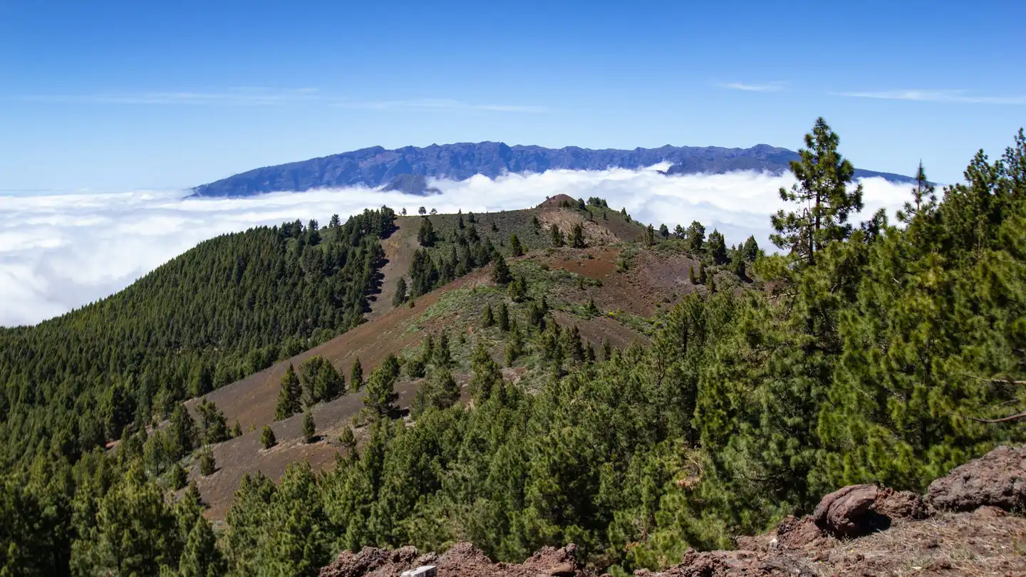
The circular walk to Pico Birigoyo starts at Refugio El Pilar, the familiar trailhead for Ruta de los Volcanes. Initially it follows the red-and-white GR-131 through Canary pine forest. The ascent is easy to trace and passes Mirador de Birigoyo, where the first views open across the Aridane valley towards Pico Bejenado and Caldera de Taburiente.
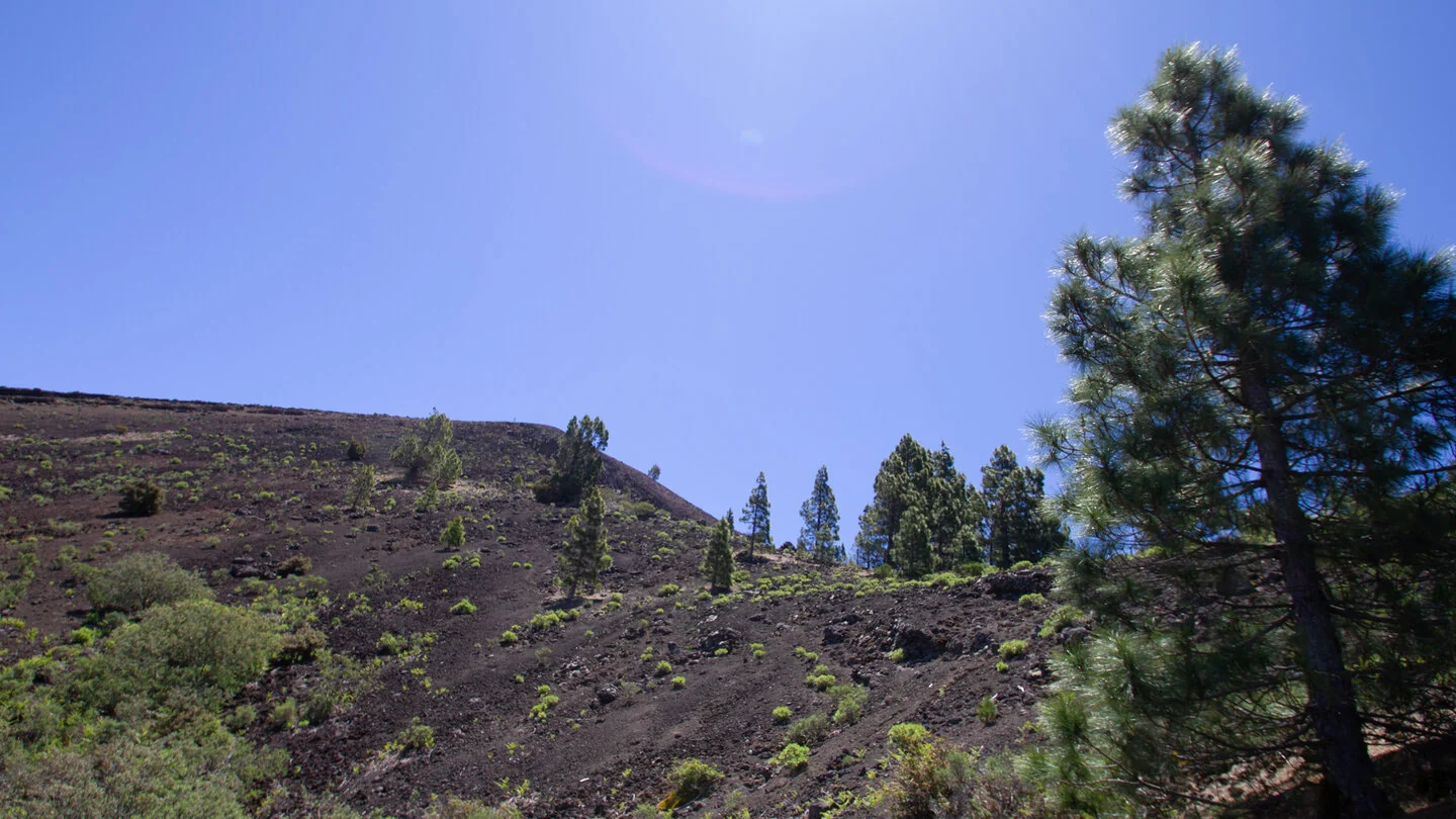
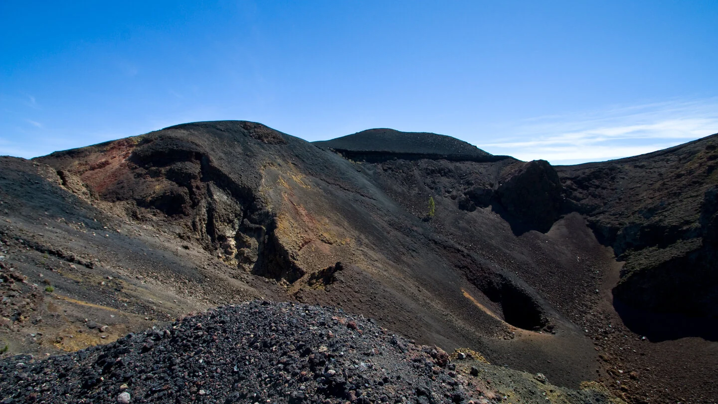
The main path first curves around the volcano and reaches a broad track. On Birigoyo’s western side, a narrow cairned trail turns left. This discreet junction is crucial for navigation. The path climbs much more steeply over loose volcanic material to the crater rim. At the top, keep right and follow the rim to the survey pillar on the 1,807-metre summit.
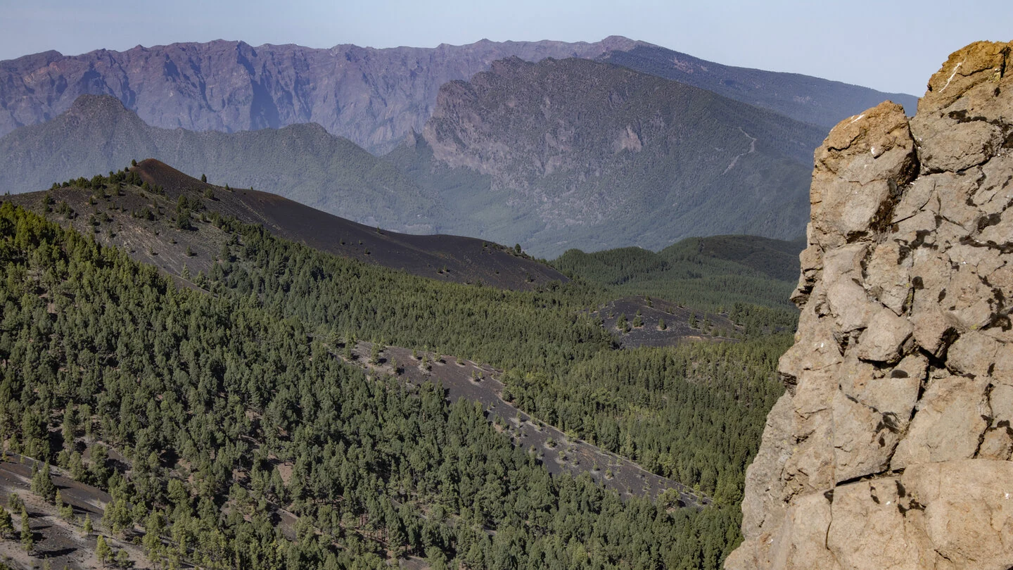
The panorama explains the popularity of this short route. The Cumbre Vieja volcanoes extend south, while Cumbre Nueva and the caldera rim rise north. Between them, the Aridane valley, Pico Bejenado and both east and west coasts can almost be seen at once. When trade-wind cloud spills over the ridge, however, this wide stage may disappear within minutes.
The descent does not retrace the ascent. Take the right-hand path from the summit and descend very steeply at first over loose ash and lava. Cairns intermittently mark the dark fields. Beyond a wooded section, a firebreak continues down to the yellow-and-white PR LP 16/17. Turning left through the pines returns to El Pilar within minutes. The circuit totals 5.1 kilometres and roughly 376 metres up and down.
Navigation, loose ground and wind are the real challenges, not the distance. In mist the broad visual landmarks vanish and the crater rim becomes substantially more serious. Start only with good visibility, wear sturdy footwear and do not rely on cairns alone; a saved GPS track is useful. Early hours usually bring the best combination of views and quiet. Check current wildfire rules, road access and trail information with Sunhikes and the authorities.
On Sunhikes you will find comprehensive information about the tour, including GPS track, interactive 3D view, elevation profile and a detailed description.
Open the German original
Ready for this hike?
Plan your hike with GPS track, interactive 3D view and all essential tour data for a safe and perfect hike on La Palma.
👉 Automatically translate the Sunhikes tourOpen the German original
Nearby hiking routes
Discover more hikes nearby on La Palma, from easy trails to challenging routes with spectacular views.
Holiday Homes & Accommodation near Refugio El Pilar – Stay on La Palma
Selected holiday homes nearby – perfect for short distances, nature experiences and relaxing holidays on La Palma.


