
- Home
-
Point of Interest
MunicipalityCategory
 La Palma
La isla Bonita - Contact
- La Palma Blog

Ruta de los Volcanes – Volcanic Trail from El Pilar to Los Canarios
Hike overview

7h 30min

Difficult

18,7 km

↑ 775 m ↓ 1521 m
An insight into the hike:
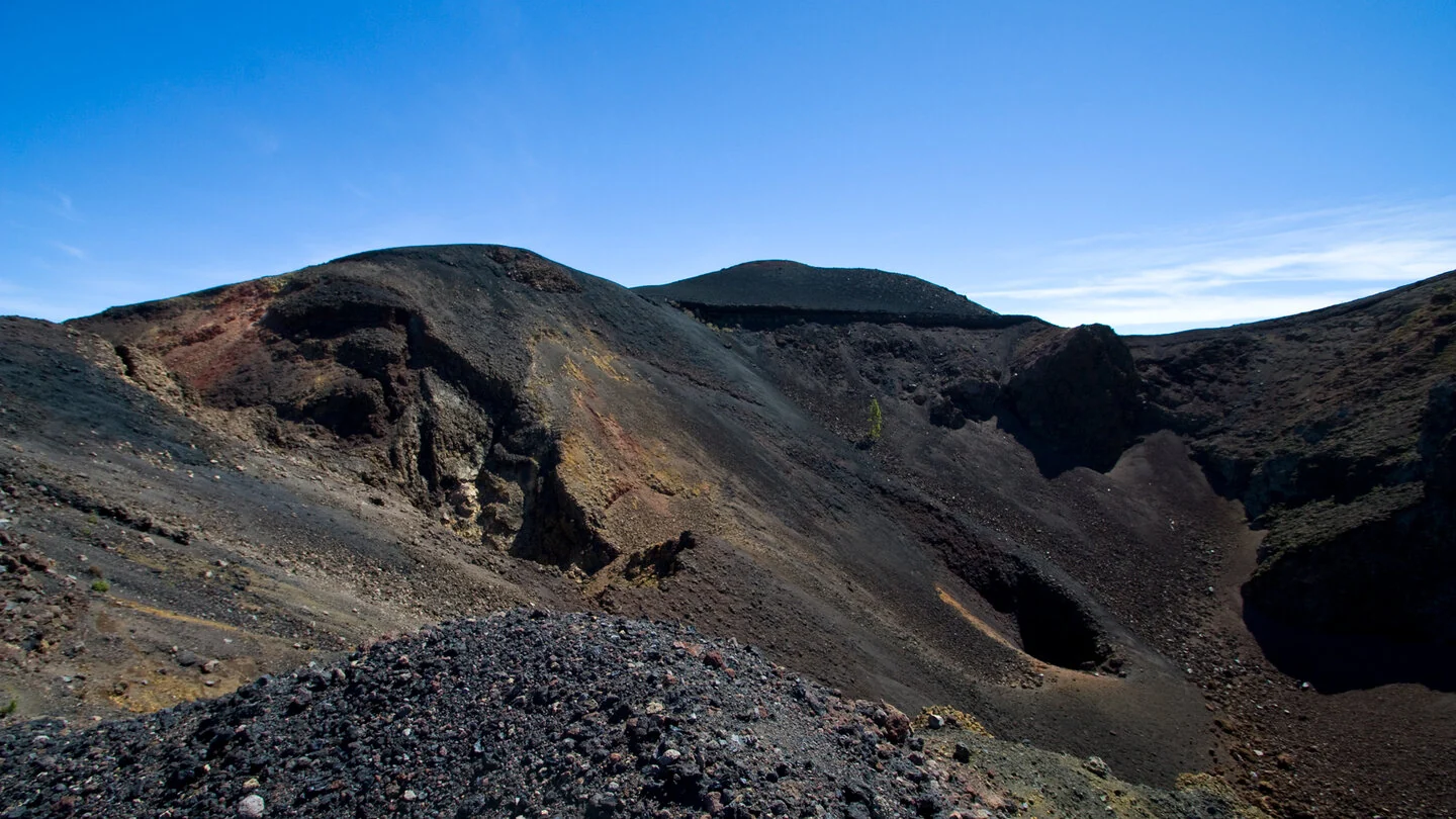
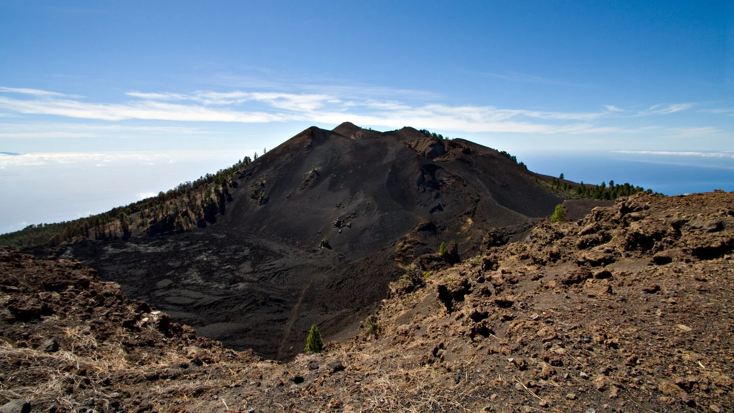
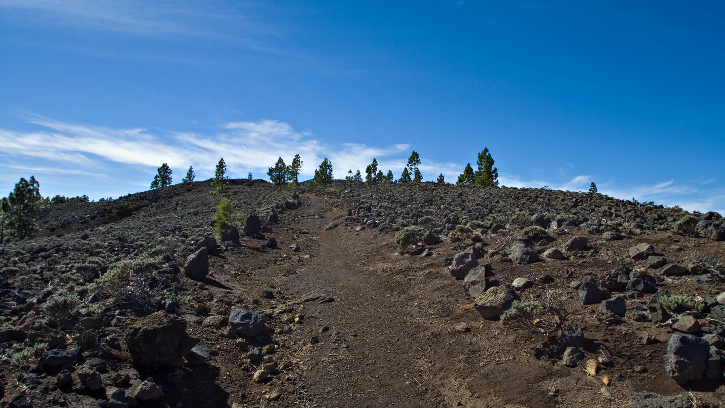
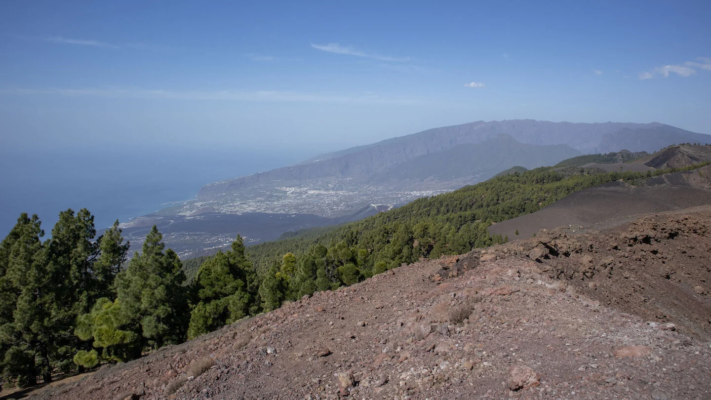
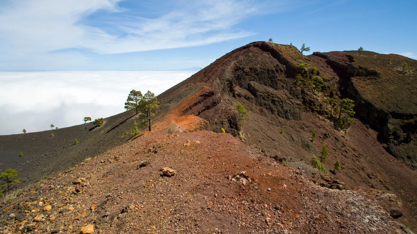
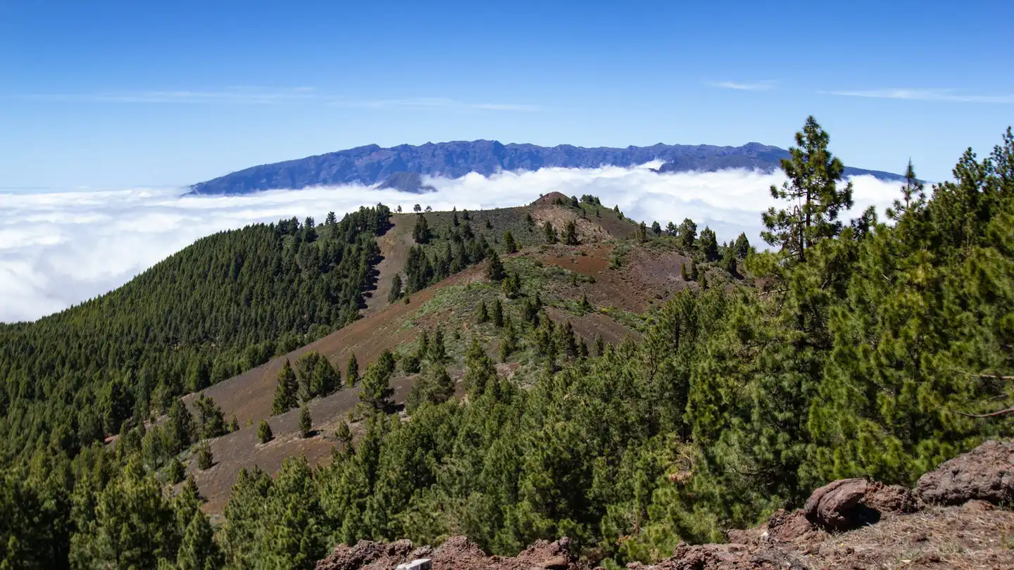
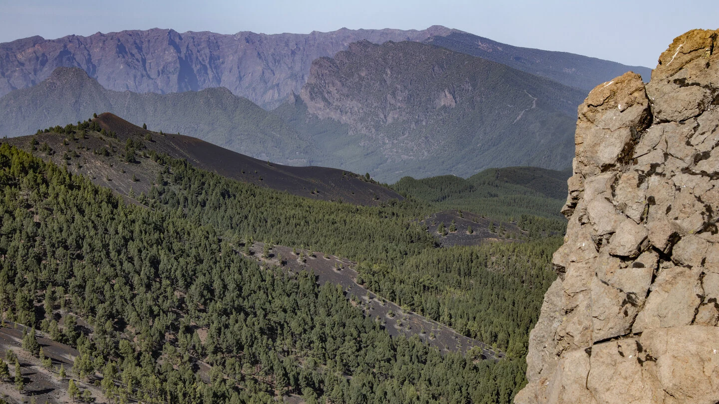
The Ruta de los Volcanes is La Palma’s great journey through the island’s youngest volcanic landscape. From Refugio El Pilar it follows the crest of Cumbre Vieja to Los Canarios, alternating between Canary pine forest, exposed ash fields, colourful crater rims and broad views across both sides of the island. Hoyo Negro, Duraznero, the twin summits of Deseada and the reddish Volcán Martín are among its defining landmarks; on clear days the neighbouring islands appear on the horizon.
Its appeal lies in this constant transformation. Black volcanic gravel meets rust-red and ochre rock, solitary pines survive on the barren ridge, and from Deseada the view reaches Tajogaite and its recent lava fields. The hike therefore offers more than a panoramic day out: it provides a vivid cross-section through the volcanic development of southern La Palma.
At 18.7 kilometres, with 775 metres of ascent and 1,521 metres of descent, this is a demanding full-day walk. Long sections over loose lapilli test both legs and concentration, while sun, wind, mist and cold can change quickly on the exposed ridge. Start early and carry sturdy footwear, sufficient food and at least 1.5 to 2 litres of water per person. The route should be postponed in strong wind, dense cloud or extreme heat.
This is a linear hike, so transport must be arranged in advance. A practical option is to leave the car in Los Canarios and take a pre-booked taxi or shuttle to Refugio El Pilar; the trailhead is not served by public buses. The exact route, current advice, complete trail description, elevation profile and GPS data are available from our partner Sunhikes.
On Sunhikes you will find comprehensive information about the tour, including GPS track, interactive 3D view, elevation profile and a detailed description.
Open the German original
Ready for this hike?
Plan your hike with GPS track, interactive 3D view and all essential tour data for a safe and perfect hike on La Palma.
👉 Automatically translate the Sunhikes tourOpen the German original
Nearby hiking routes
Discover more hikes nearby on La Palma, from easy trails to challenging routes with spectacular views.

Holiday Homes & Accommodation near Refugio El Pilar – Stay on La Palma
Selected holiday homes nearby – perfect for short distances, nature experiences and relaxing holidays on La Palma.


