
- Home
-
Point of Interest
MunicipalityCategory
 La Palma
La isla Bonita - Contact
- La Palma Blog

GR-130 Stage 8: Villa de Mazo to Santa Cruz
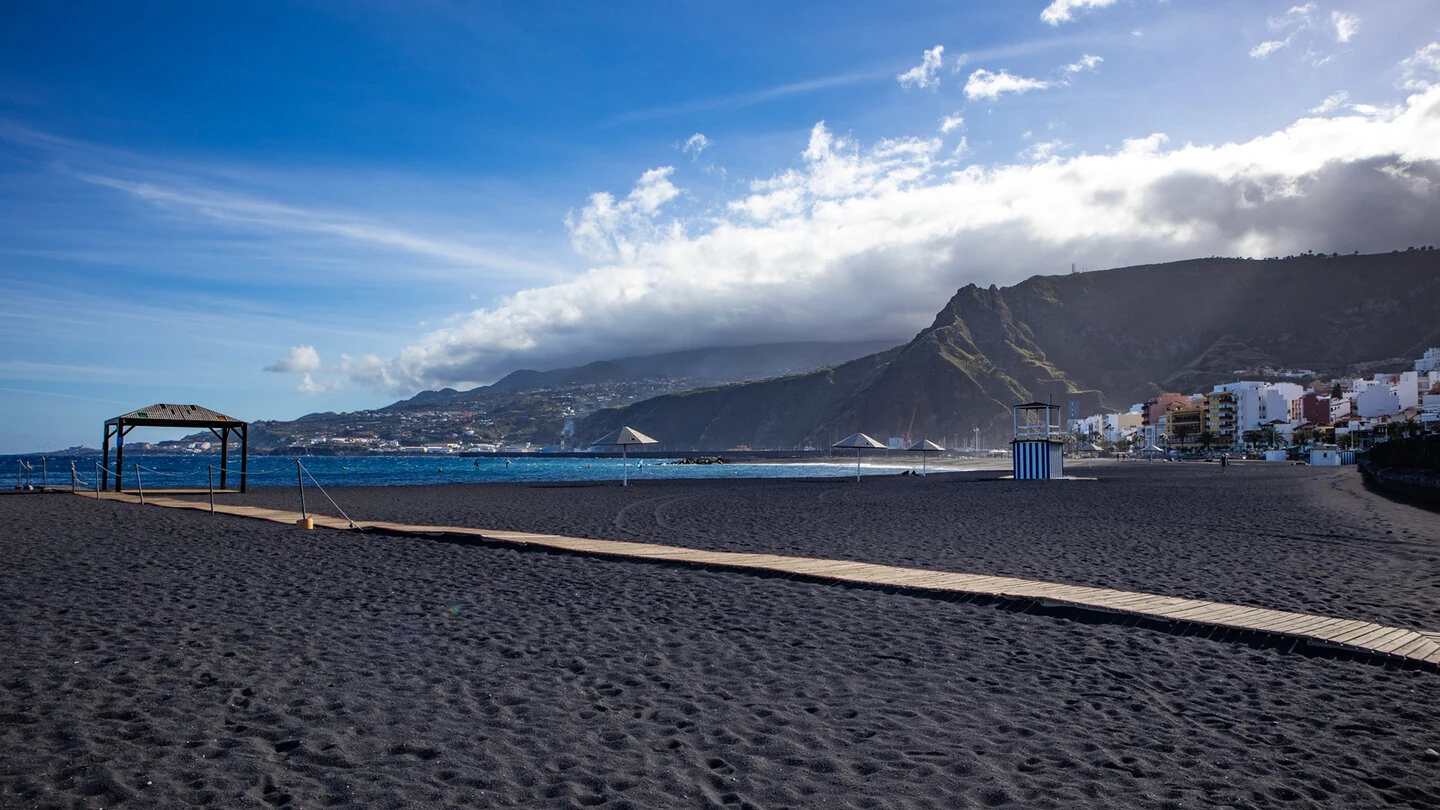
Hike overview

4h 30min

Easy

12,0 km

↑ 160 m ↓ 693 m
An insight into the hike:
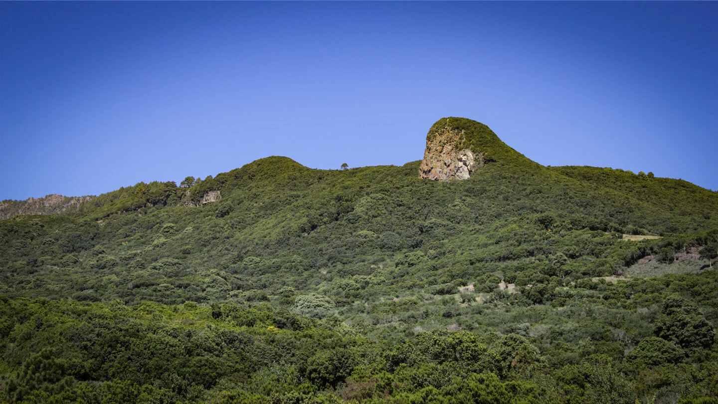
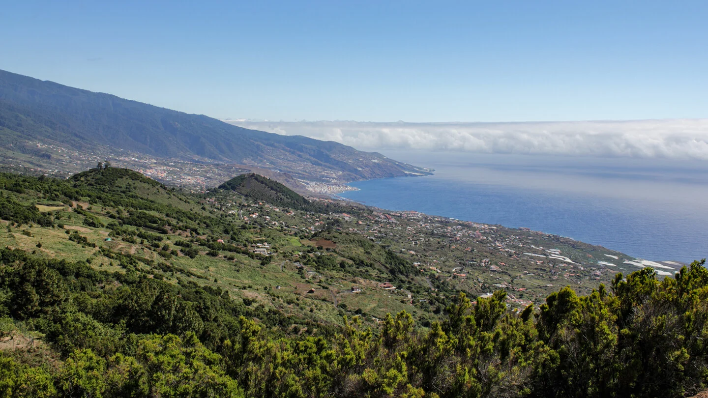
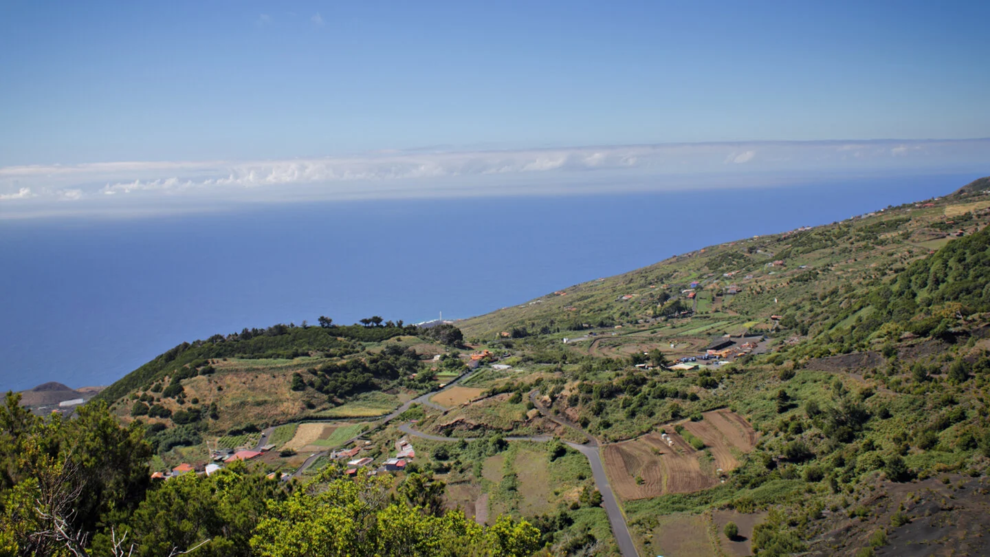
The eighth and final GR-130 stage starts at Montaña de las Toscas above Villa de Mazo. Between pines and the first houses, the historic Camino Real approaches the more populated east side. Paved paths, minor roads, farms, wayside crosses and grottoes reveal a cultivated landscape shaped over centuries. Views repeatedly open towards the Atlantic, Roque Niquiomo and the slopes of Cumbre Vieja.
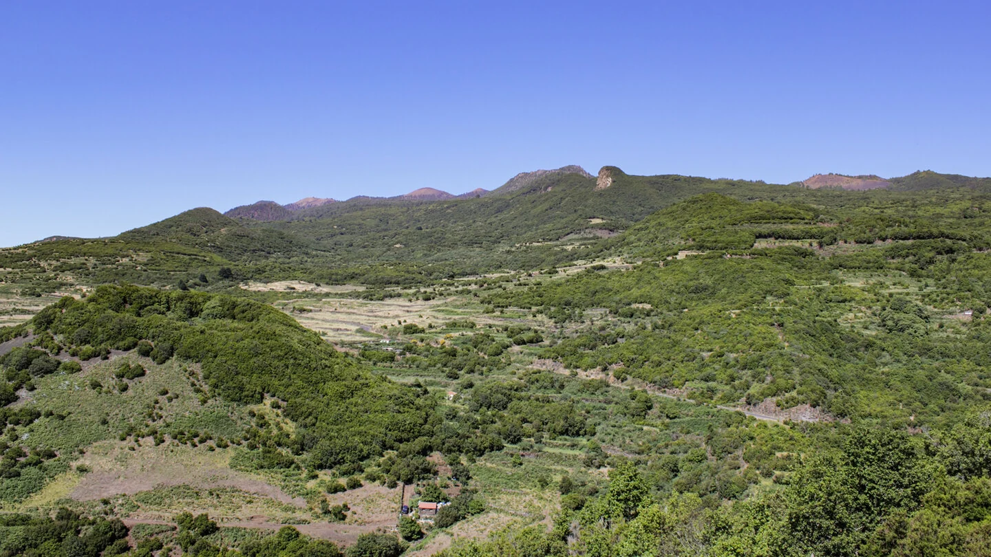
The route crosses green Montaña Breña and several ravines, including Amargavino and Loja del Llanito. Canary juniper, Visnea mocanera, prickly pears and foxtail agaves line the way. Around San Pedro and Breña Alta, optional detours lead to Risco de la Concepción or the pilgrimage church Nuestra Señora de la Concepción.
The final section descends through La Cuesta into Santa Cruz. San Sebastián chapel, historic buildings and the Royal Cosmological Society lead towards Plaza de España and El Salvador church. This closes both a twelve-kilometre stage and, symbolically, the nearly 150-kilometre Camino Real circuit. With 160 metres up and 693 down, it is comparatively easy, although asphalt and paving can tire the feet.
Buses simplify the return to Mazo; check timetables in advance. The finish combines perfectly with refreshments and an old-town visit.
Planning should consider not only distance but also the elevation profile, surface and weather. On La Palma, sunshine, wind, trade-wind cloud and brief showers can change within only a few kilometres. Carry sufficient water, a snack, sturdy footwear and protection from sun and rain even when conditions are good at the start. Check current trail closures and information from the protected areas before departure. For point-to-point routes, organise the return by taxi, bus or a second vehicle in advance. The exact route, full tour description, current advice, elevation profile and GPS data are available from our partner Sunhikes.
On Sunhikes you will find comprehensive information about the tour, including GPS track, interactive 3D view, elevation profile and a detailed description.
Open the German original
Ready for this hike?
Plan your hike with GPS track, interactive 3D view and all essential tour data for a safe and perfect hike on La Palma.
👉 Automatically translate the Sunhikes tourOpen the German original
Nearby hiking routes
Discover more hikes nearby on La Palma, from easy trails to challenging routes with spectacular views.

Holiday Homes & Accommodation near Erholungsgebiet Montaña de las Toscas – Stay on La Palma
Selected holiday homes nearby – perfect for short distances, nature experiences and relaxing holidays on La Palma.


