
- Home
-
Point of Interest
MunicipalityCategory
 La Palma
La isla Bonita - Contact
- La Palma Blog

PR LP 12: From Roque de los Muchachos to Tijarafe

Hike overview

5h

Difficult

12,8 km

↑ 133 m ↓ 1921 m
An insight into the hike:
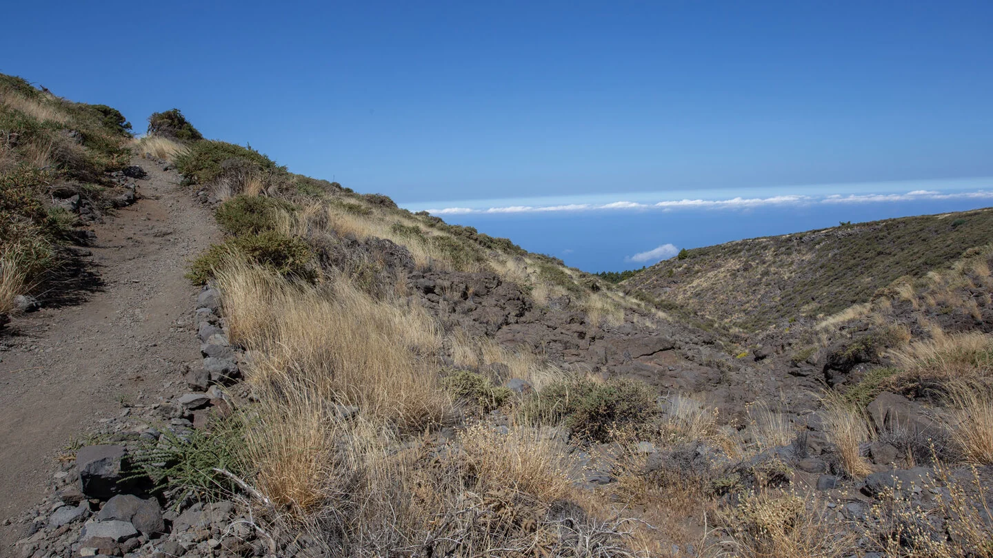
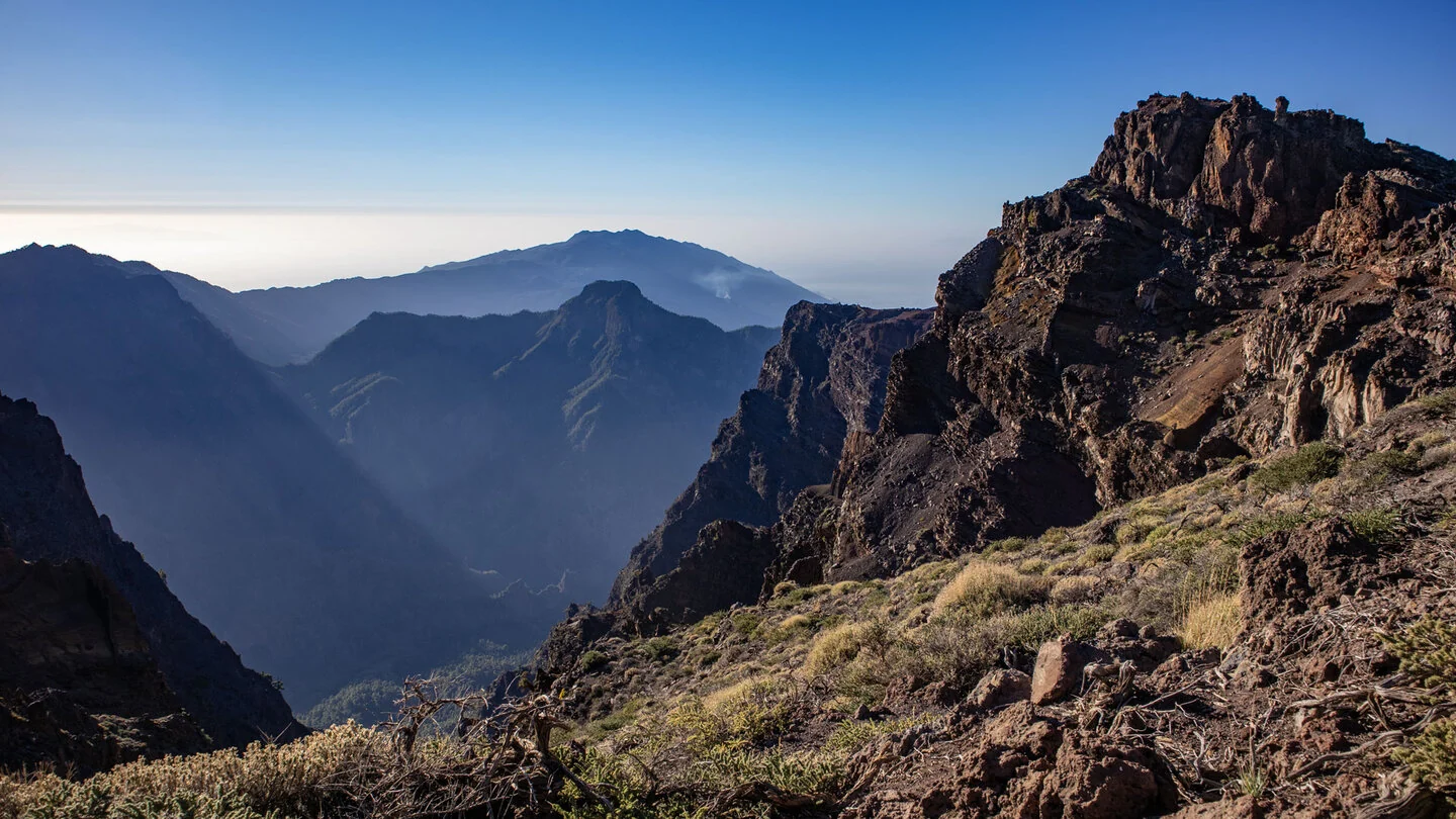
PR LP 12 starts on the access road below Roque de los Muchachos and links La Palma’s highest mountain region with Tijarafe. Anyone beginning at the summit first follows GR-131 to the official junction. The opening kilometres partly use the paved observatory road and are shared with PR LP 11. Mirror telescopes, helicopter pads, the caldera rim and Atlantic shape this unusual beginning.
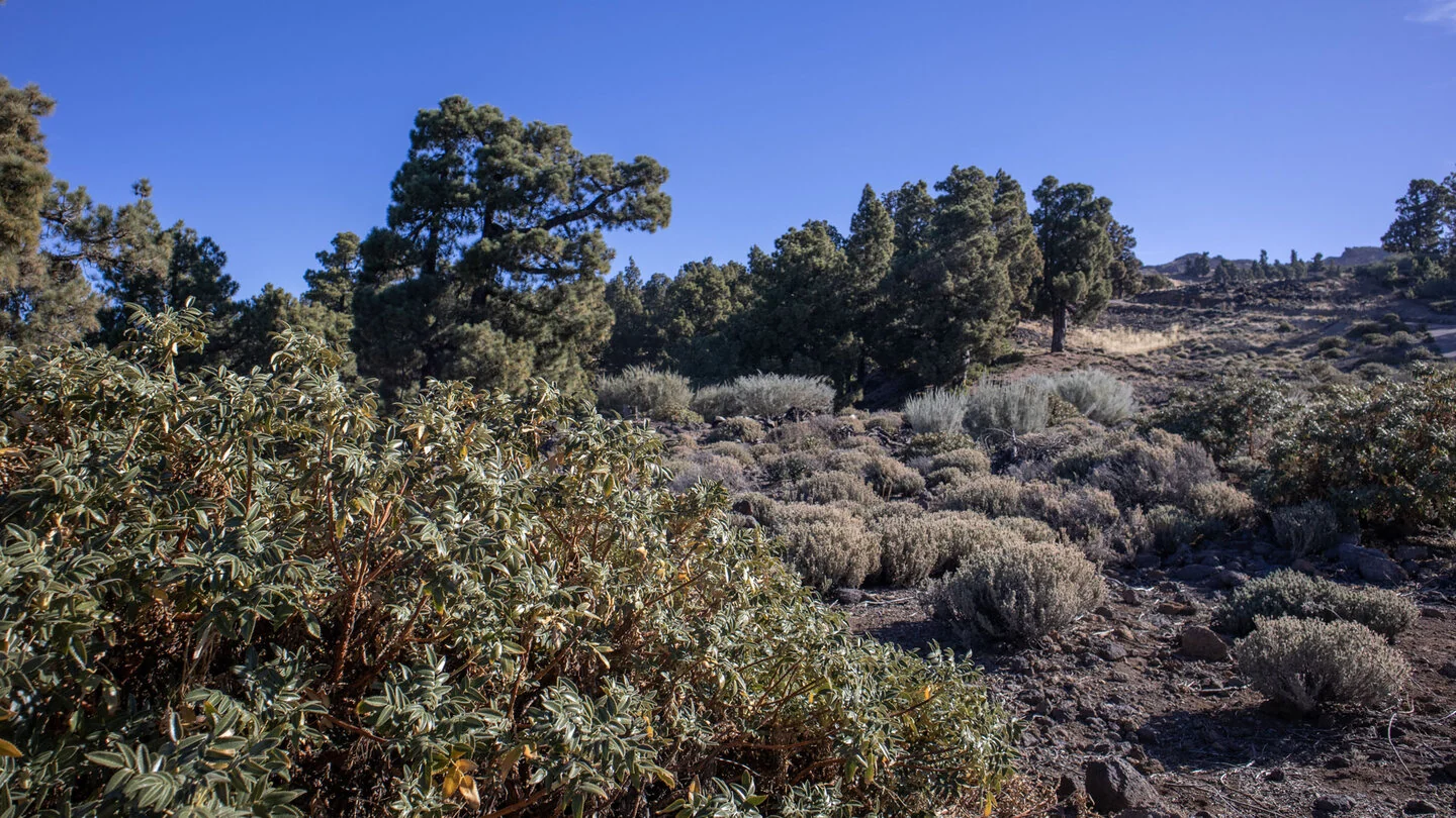
Beyond the road, the path crosses broom, grasses and endemic high-mountain vegetation. It passes the rocky dry bed of Barranco de Izcagua and reaches Llano de las Ánimas at around 2,036 metres after roughly 5.7 kilometres. Pink-flowering tajinastes may transform the open plateau in spring. Here the routes to Puntagorda and Tijarafe separate; PR LP 12 enters a protected area used to collect seed from threatened plants.
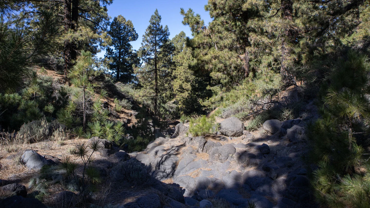
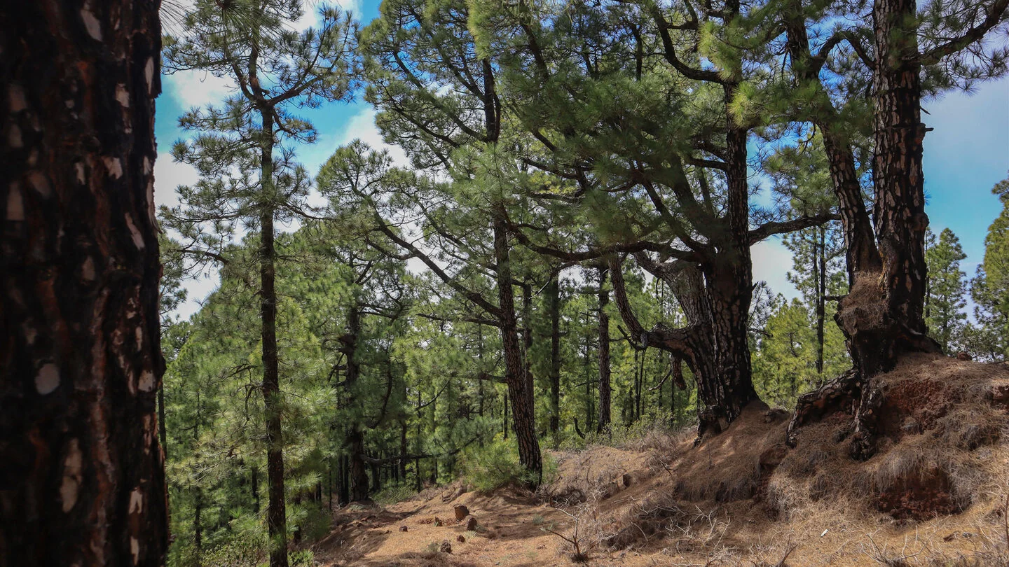
A quiet section through open pine forest follows. Several ravines, including Garome, La Baranda and La Caldera, are crossed. Junctions with PR LP 12.1, local trail SL TJ 70 and later PR LP 10 require attention even though the main line is marked. Beyond Montaña Bermeja, the long final descent begins. Tight bends lose height quickly; pine needles, loose ground and mountain-bike wear can make the path slippery.
The first vineyards and houses appear above Tijarafe. After several track and road crossings, the walk ends at Nuestra Señora de la Candelaria church. Across 12.8 kilometres, there are only 133 metres of ascent but 1,921 metres down. The difficulty therefore lies less in distance than in the continuous strain on knees, concentration and muscles.
An early exit is scarcely practical in the remote forest sections. Taxi to the high start, transport from the finish, weather and personal reserves must all be settled before departure. Poles are more than a comfort here, and snow, ice, storms or dense cloud are reasons to postpone. With sound logistics, the route becomes a remarkable journey through nearly every western altitude zone. Check the track, junctions and latest advice with Sunhikes immediately beforehand.
On Sunhikes you will find comprehensive information about the tour, including GPS track, interactive 3D view, elevation profile and a detailed description.
Open the German original
Ready for this hike?
Plan your hike with GPS track, interactive 3D view and all essential tour data for a safe and perfect hike on La Palma.
👉 Automatically translate the Sunhikes tourOpen the German original
Nearby hiking routes
Discover more hikes nearby on La Palma, from easy trails to challenging routes with spectacular views.

Holiday Homes & Accommodation near Abzweig PR LP 12 an der LP-4 unterhalb des Roque de los Muchachos – Stay on La Palma
Selected holiday homes nearby – perfect for short distances, nature experiences and relaxing holidays on La Palma.


