
- Home
-
Point of Interest
MunicipalityCategory
 La Palma
La isla Bonita - Contact
- La Palma Blog

PR LP 11: From Roque de los Muchachos to Puntagorda

Hike overview

4h 15min

Difficult

11,9 km

↑ 116 m ↓ 1598 m
An insight into the hike:
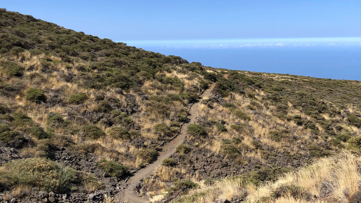
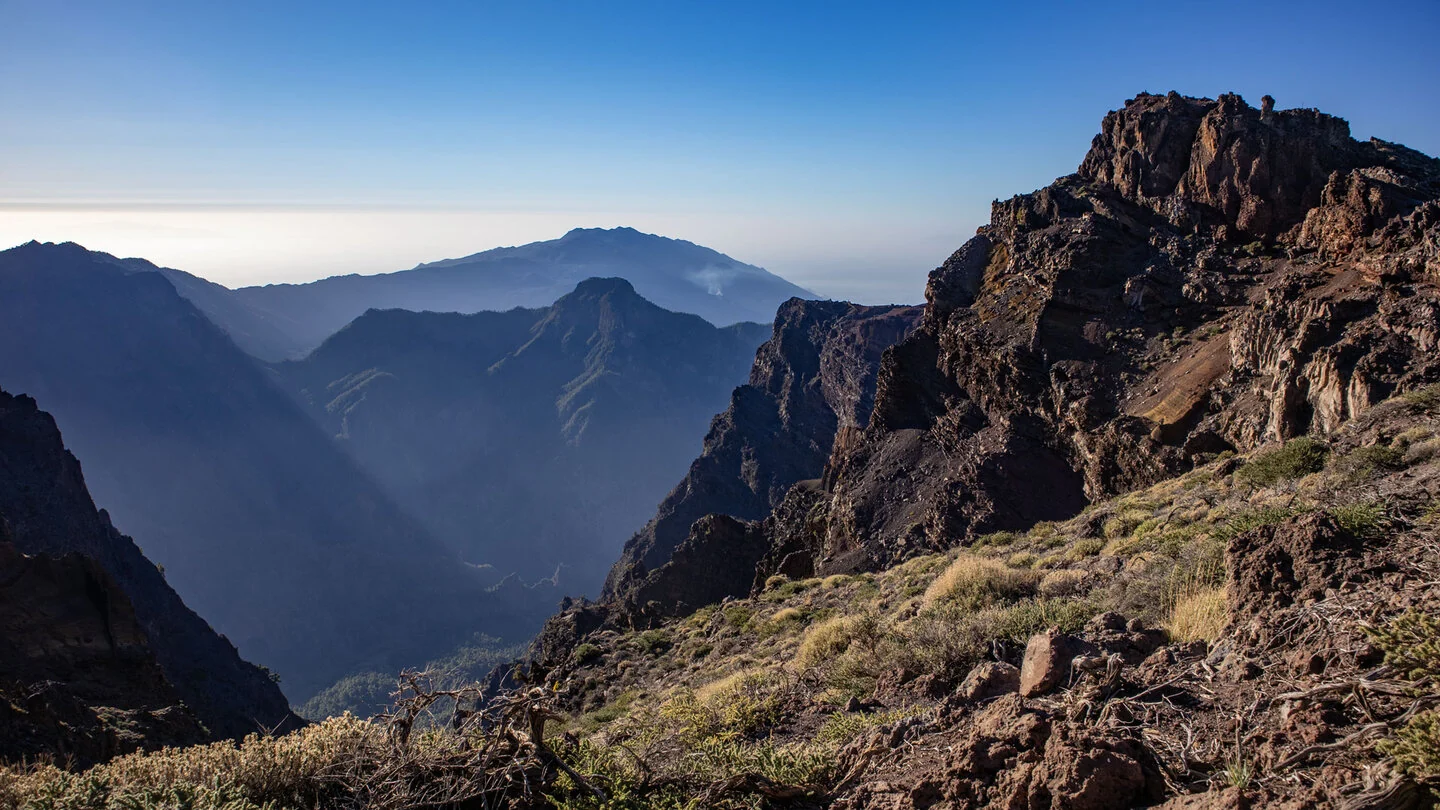
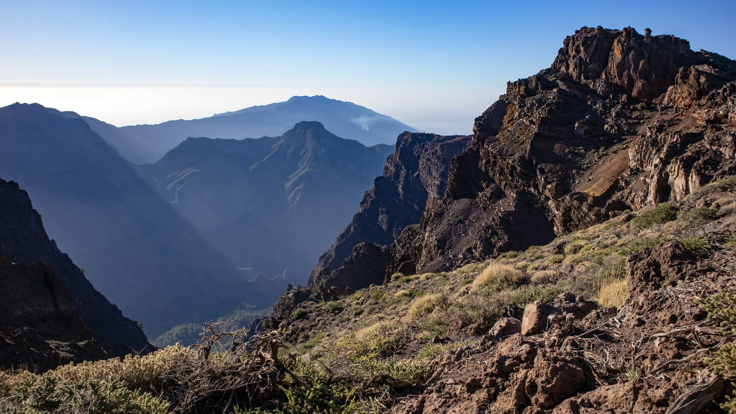
The PR LP 11 links the bare high country below Roque de los Muchachos with the rural municipality of Puntagorda. Its official entry is on the LP-4, where the yellow-and-white trail leaves the GR-131; many hikers begin near the neighbouring helicopter pad. For the first kilometres it shares the broad ridge with PR LP 12. The caldera rim, observatories, Atlantic and, in clear weather, neighbouring islands create an exceptional panorama.
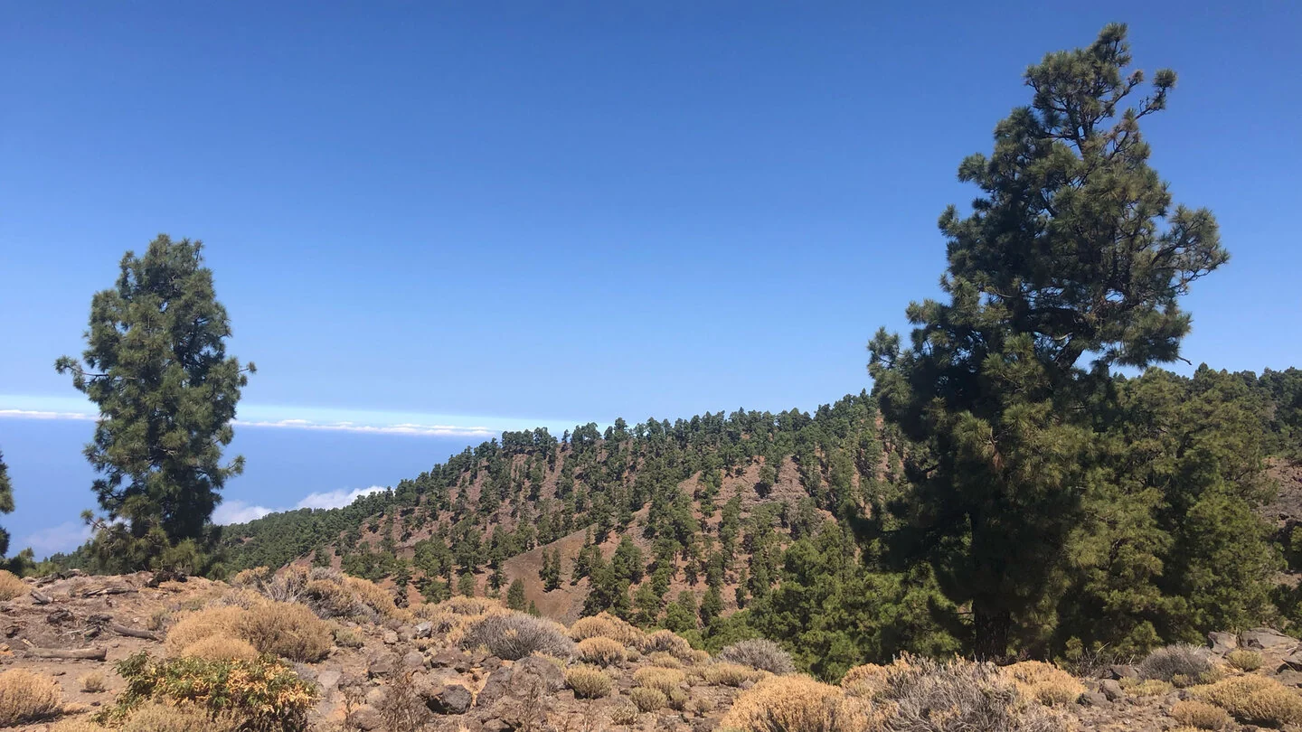
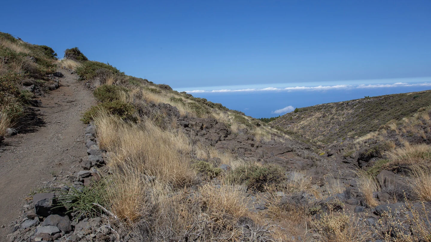
The path gradually loses height among low shrubs, broom and endemic mountain plants. Flowering tajinastes may stand out on Llano de las Ánimas in spring, after which Canary pine increasingly dominates. Forest tracks alternate with narrower trail. These vegetation zones vividly show how climate and land use change with altitude, from dry summit slopes to woodland, orchards and vines.
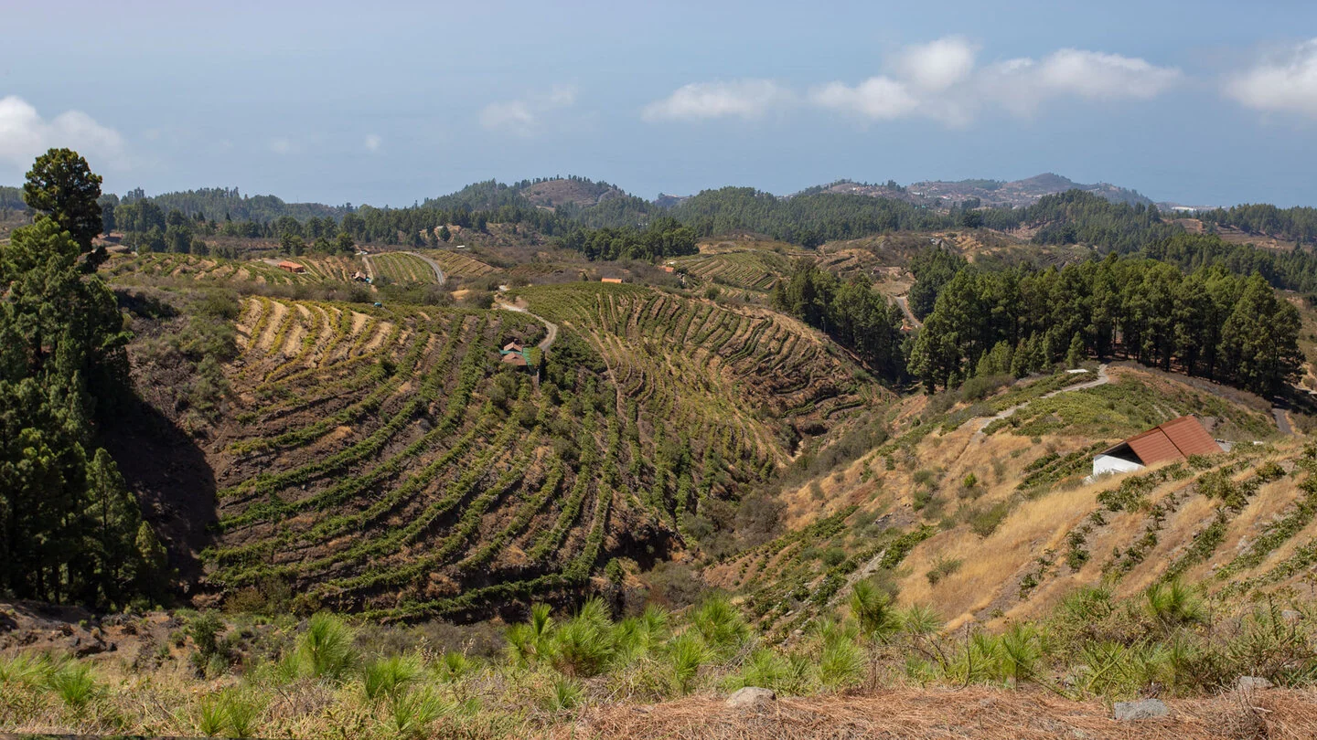
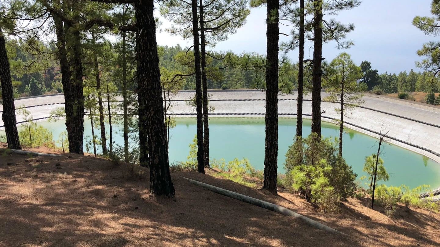
After separating from the route towards Tijarafe, PR LP 11 continues consistently north-west. Vineyards, terraces and the Balsa Montaña del Arco appear above Puntagorda. The final kilometres enter a cultivated landscape where almond blossom can add colour in late winter. The route covers 11.9 kilometres, climbs only 116 metres but descends 1,598. This almost continuous drop is hard on knees and thighs and makes the walk difficult despite its manageable distance.
There is no useful shortcut or easy exit along this point-to-point route. Book a taxi to the high start in advance and also settle transport from the finish. Poles, shoes with reliable grip and sufficient water are strongly recommended. The Roque can be cold and windy in the morning while Puntagorda lies warm in sunshine later, so several adaptable layers work especially well.
Spring may bring tajinastes in the high country and almond blossom in the north-west, but the date alone should never determine the decision to set out. Road access, cloud, wind and current closures decide whether the long descent is safe and enjoyable. Our partner Sunhikes provides the precise line, elevation profile, GPS data and current route advice for final planning.
On Sunhikes you will find comprehensive information about the tour, including GPS track, interactive 3D view, elevation profile and a detailed description.
Open the German original
Ready for this hike?
Plan your hike with GPS track, interactive 3D view and all essential tour data for a safe and perfect hike on La Palma.
👉 Automatically translate the Sunhikes tourOpen the German original
Nearby hiking routes
Discover more hikes nearby on La Palma, from easy trails to challenging routes with spectacular views.
Holiday Homes & Accommodation near Abzweig PR LP 11 an der LP-4 unterhalb des Roque de los Muchachos – Stay on La Palma
Selected holiday homes nearby – perfect for short distances, nature experiences and relaxing holidays on La Palma.


