
- Home
-
Point of Interest
MunicipalityCategory
 La Palma
La isla Bonita - Contact
- La Palma Blog

From Roque de los Muchachos to Mirador El Time



Hike overview

6h

Difficult

14,2 km

↑ 355 m ↓ 2287 m
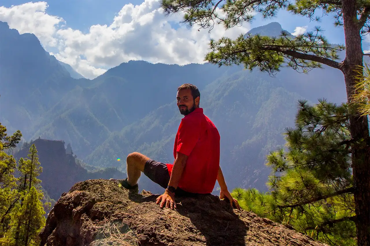
Personally, I also like the fact that I can practically walk all the way home at the end of the route.
The hike is ideal if you have the option of getting a lift from La Punta or the Mirador El Time up to the Roque de los Muchachos. This makes for a very varied route without having to worry about leaving your own car somewhere.
Taking a taxi is also possible, of course, but depending on the starting point, this can make the hike quite expensive.
An insight into the hike:
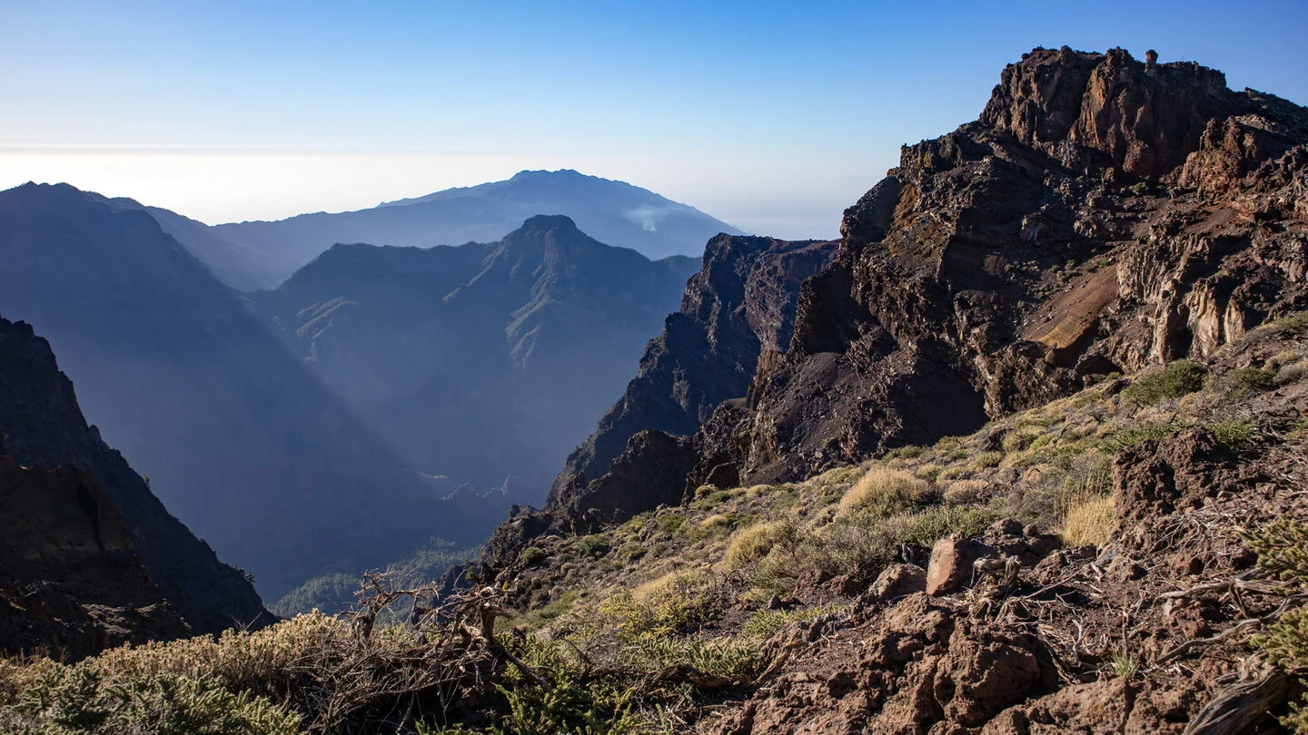
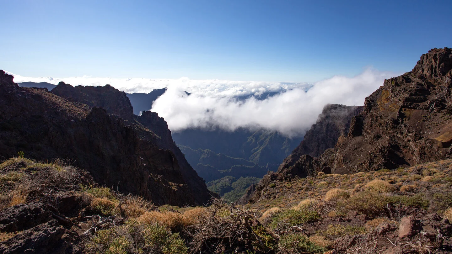
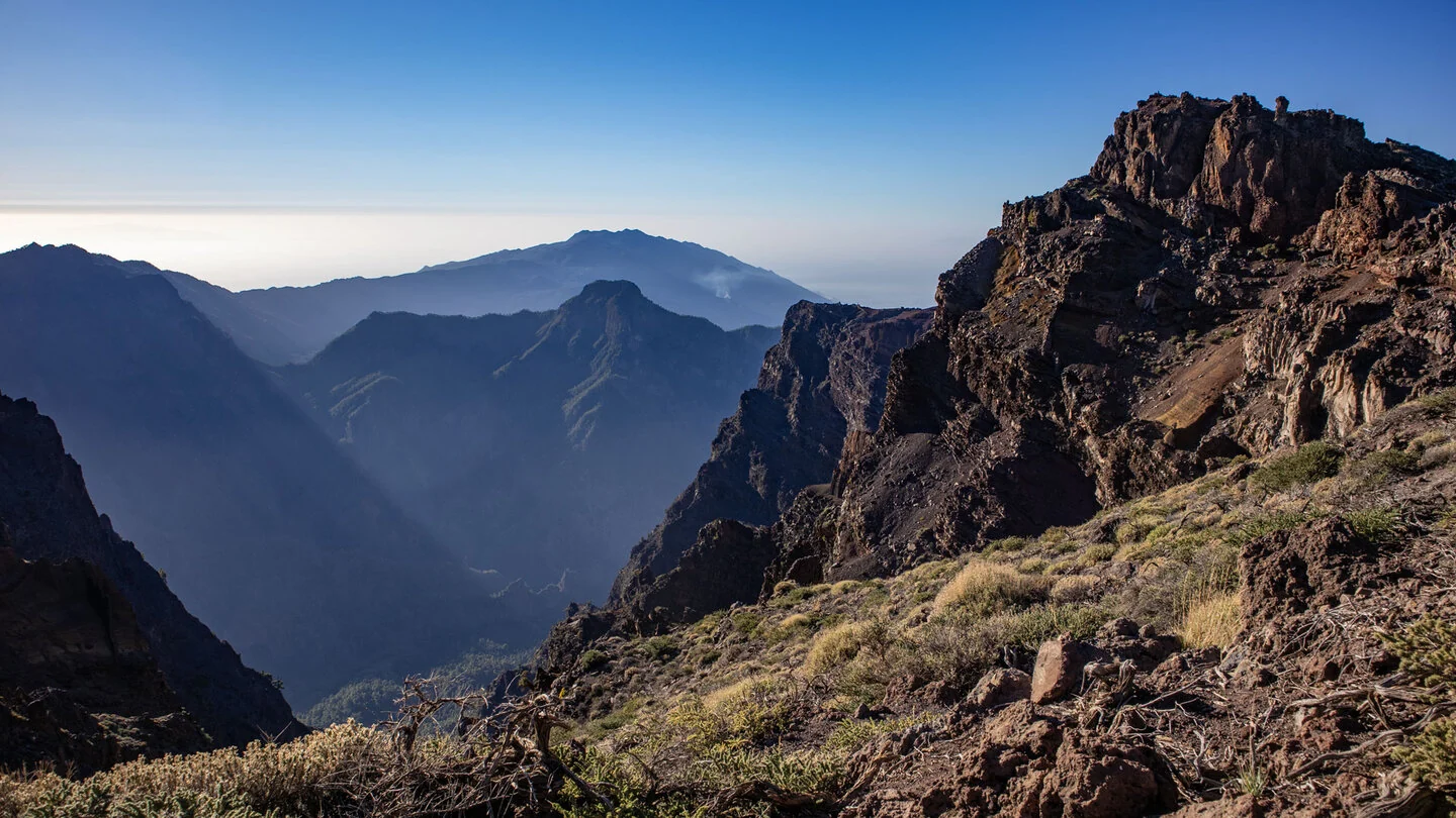
This exceptional point-to-point route descends from Roque de los Muchachos to Mirador El Time almost two vertical kilometres below. Initially the GR-131 follows the caldera rim. Views of Bejenado, Cumbre Vieja, the observatory and coloured rock layers accompany Roque Chico, Degollada de las Palomas and Roque Palmero. A sea of cloud and the Atlantic are often visible at the same time.
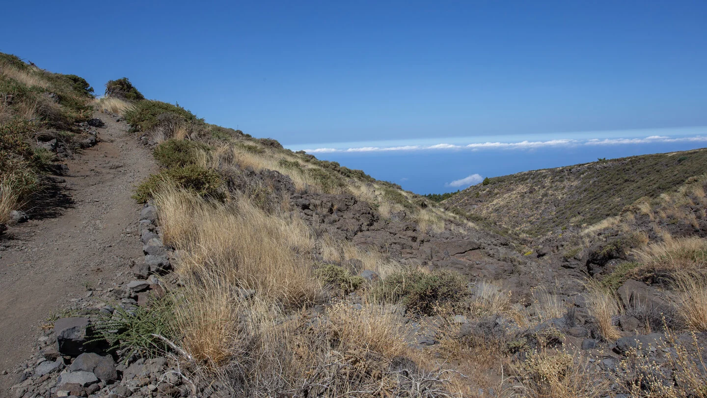
Beyond the high-mountain zone, vegetation becomes denser. Broom and endemic shrubs give way to Canary pines, followed later by cultivated land and vineyards. Torre del Time provides another viewpoint over Barranco de las Angustias and the west coast. The landscape changes enormously, but the nearly continuous descent strains knees and thighs more than many walks of similar length.
Across 14.2 kilometres, the route climbs 355 metres and descends 2,287. Red-and-white markings are clear, yet stony paths, loose ground and long gradients require sure-footedness. Temperatures at the windy summit and El Time can differ by more than 15 degrees. Walking poles, warm layers for the start and ample water for the hot lower slopes are strongly recommended.
Leave the car at Mirador El Time and take a pre-booked taxi to the summit. Snow, storms and road closures are possible in winter, while the final section is hot and exposed in summer.
Planning should consider not only distance but also the elevation profile, surface and weather. On La Palma, sunshine, wind, trade-wind cloud and brief showers can change within only a few kilometres. Carry sufficient water, a snack, sturdy footwear and protection from sun and rain even when conditions are good at the start. Check current trail closures and information from the protected areas before departure. For point-to-point routes, organise the return by taxi, bus or a second vehicle in advance. The exact route, full tour description, current advice, elevation profile and GPS data are available from our partner Sunhikes.
On Sunhikes you will find comprehensive information about the tour, including GPS track, interactive 3D view, elevation profile and a detailed description.
Open the German original
Ready for this hike?
Plan your hike with GPS track, interactive 3D view and all essential tour data for a safe and perfect hike on La Palma.
👉 Automatically translate the Sunhikes tourOpen the German original
Nearby hiking routes
Discover more hikes nearby on La Palma, from easy trails to challenging routes with spectacular views.
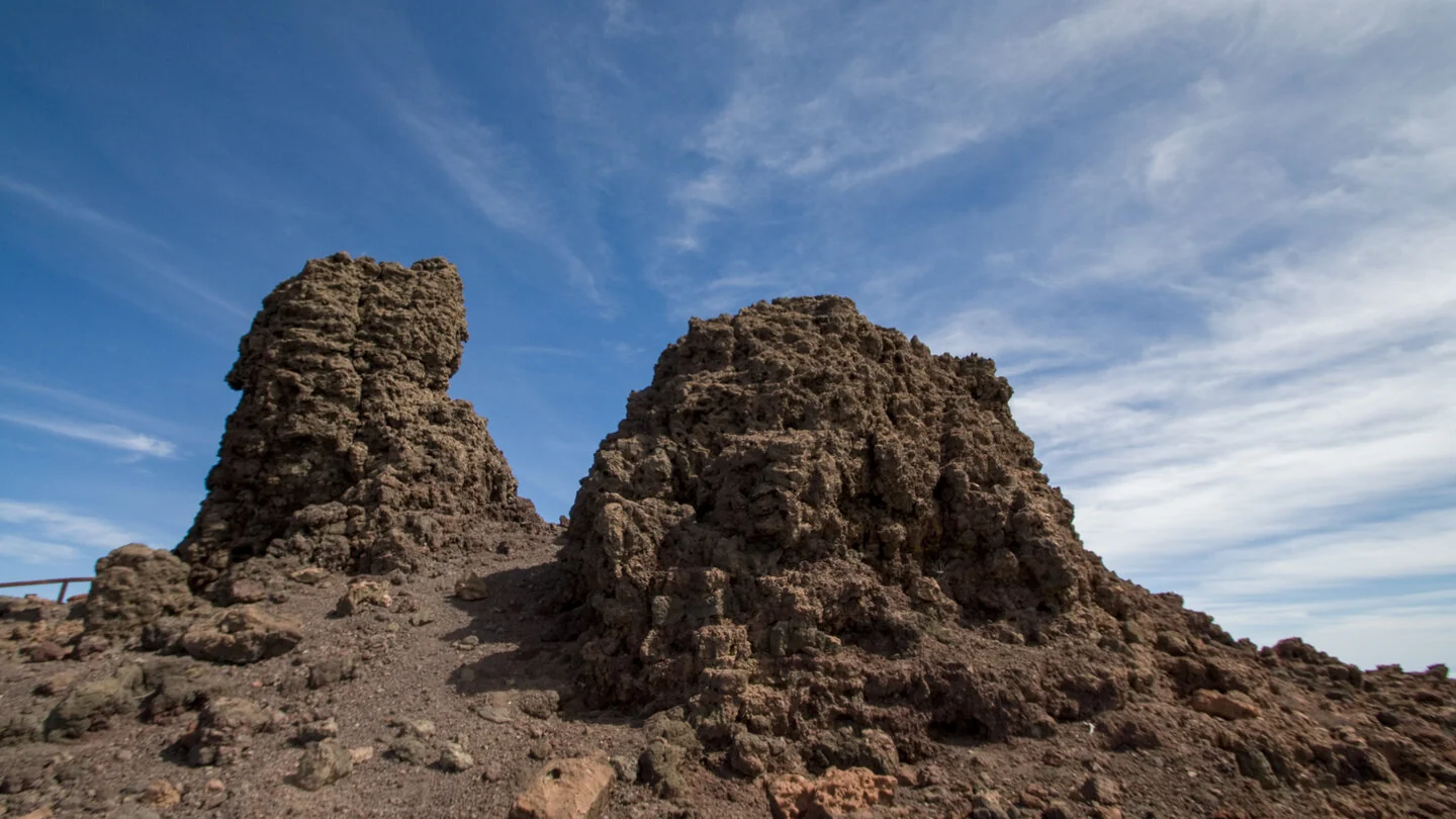

Holiday Homes & Accommodation near Parkplatz am Roque de los Muchachos – Stay on La Palma
Selected holiday homes nearby – perfect for short distances, nature experiences and relaxing holidays on La Palma.


