
- Home
-
Point of Interest
MunicipalityCategory
 La Palma
La isla Bonita - Contact
- La Palma Blog

From Roque de los Muchachos to Espigón del Roque

Hike overview

1h

Easy

1,2 km

↑ 90 m ↓ 88 m
An insight into the hike:
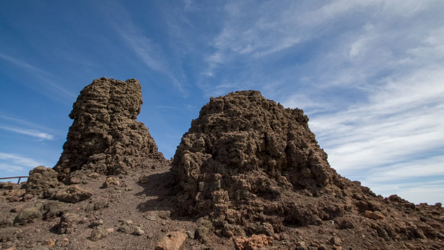
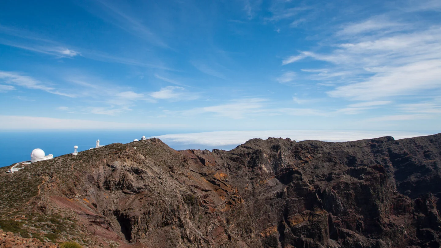
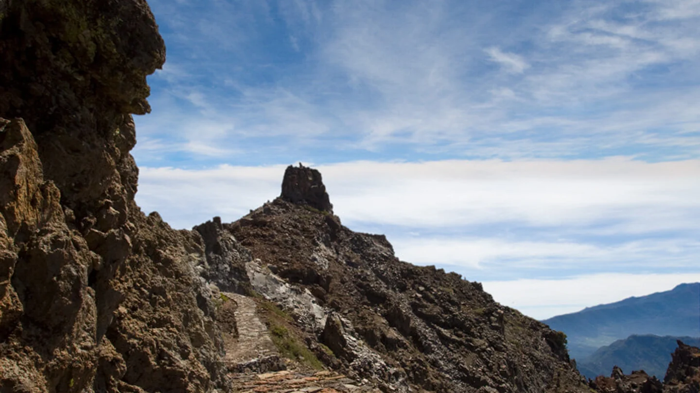
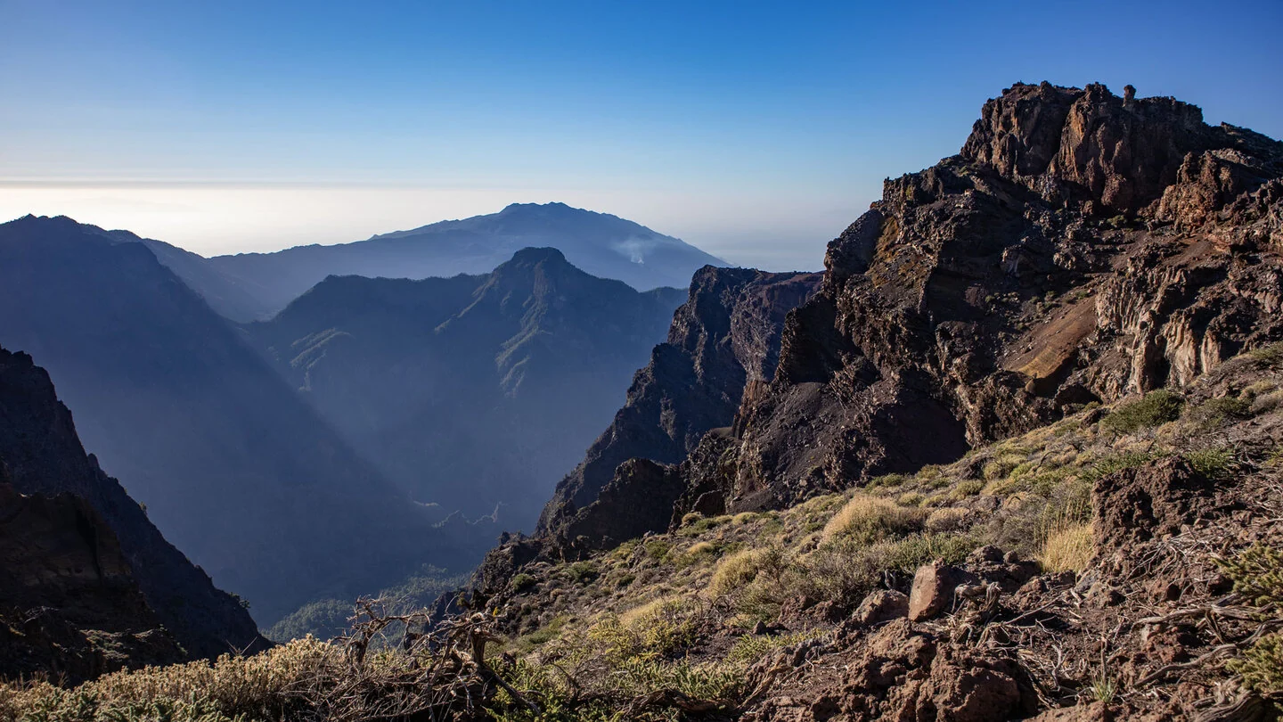
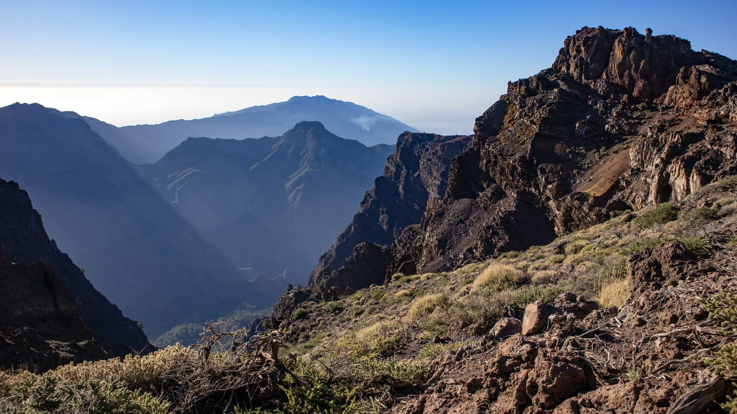
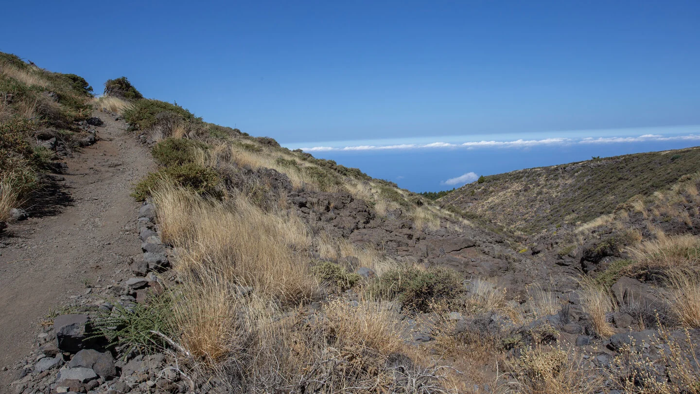
This short walk opens up the spectacular summit landscape of Roque de los Muchachos without requiring a long mountain day. From the car park, a paved path follows the reddish-brown caldera rim. Within the first few metres, views open towards the observatories, rugged rock shapes and the interior of Caldera de Taburiente. An altitude well above 2,300 metres creates a genuine high-mountain atmosphere despite the comfortable surface.
Protected plots beside the route preserve or reintroduce rare summit plants. The sparse landscape may look empty at first, yet it is ecologically extremely sensitive. Remaining on the surfaced path is therefore essential. Colours and layers in the volcanic rock, lichens and individual endemic shrubs can all be observed very well without stepping off the route.
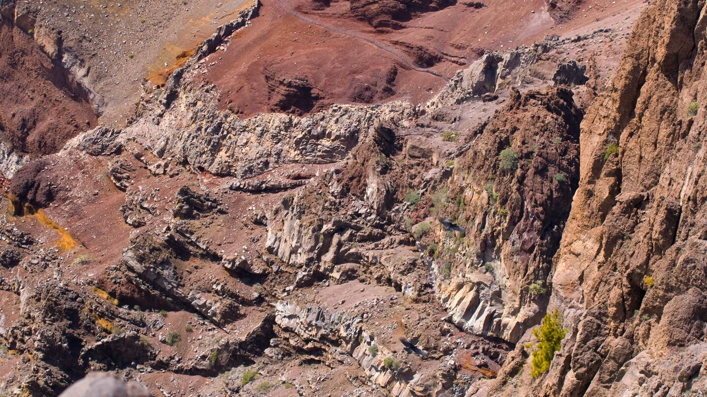
A first stone platform provides deep views towards Barranco de los Cantos and Hoyo Verde. Beyond it, the path continues to Espigón del Roque at roughly 2,380 metres. Its platform overlooks much of the national park, Pico Bejenado and the southern volcanic ridge; in clear air El Hierro, La Gomera or Tenerife may appear on the horizon. The return uses the same path to the car park.
The outward and return walk total only about 1.2 kilometres with roughly 90 metres of ascent. Technically it is easy, but altitude, intense sun and sudden wind should not be underestimated. Walk slowly, especially immediately after driving up from sea level. Children need close supervision at the viewpoints because the terrain drops steeply beyond the barriers.
The path is at its best early, before the car park and platforms become busy and before trade-wind cloud hides the caldera. Combine it with the visitor centre and official Roque viewpoints without turning it into an ambitious schedule. A jacket, sun protection and water belong in the bag despite the short distance. Shortly before visiting, consult Sunhikes and the relevant authorities for road access, closures and the latest route details.
On Sunhikes you will find comprehensive information about the tour, including GPS track, interactive 3D view, elevation profile and a detailed description.
Open the German original
Ready for this hike?
Plan your hike with GPS track, interactive 3D view and all essential tour data for a safe and perfect hike on La Palma.
👉 Automatically translate the Sunhikes tourOpen the German original
Nearby hiking routes
Discover more hikes nearby on La Palma, from easy trails to challenging routes with spectacular views.

Holiday Homes & Accommodation near Parkplatz am Roque de los Muchachos – Stay on La Palma
Selected holiday homes nearby – perfect for short distances, nature experiences and relaxing holidays on La Palma.


