
- Home
-
Point of Interest
MunicipalityCategory
 La Palma
La isla Bonita - Contact
- La Palma Blog

GR-130 Stage 6: Los Llanos to Los Canarios

Hike overview

10h

Difficult

23,8 km

↑ 916 m ↓ 426 m
An insight into the hike:
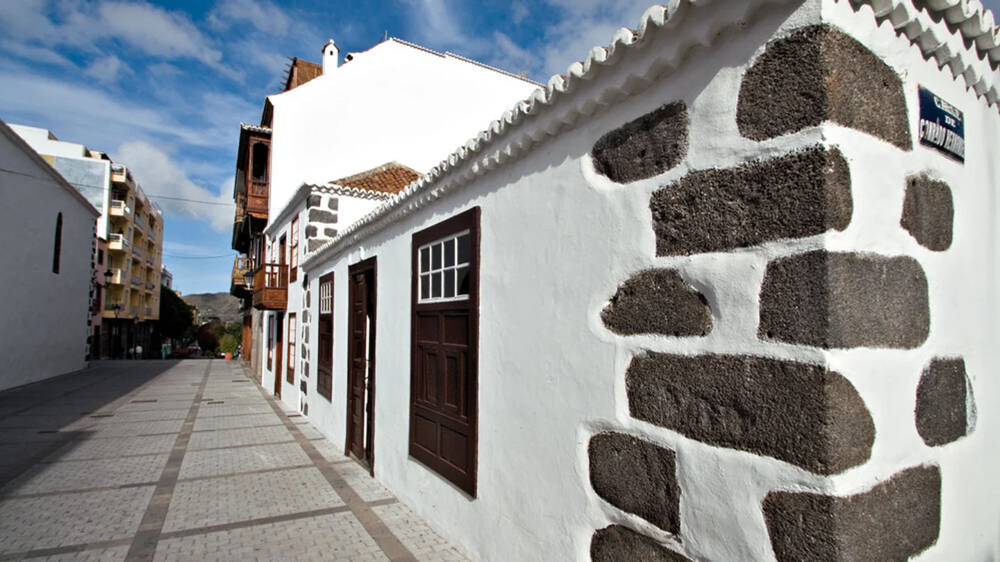
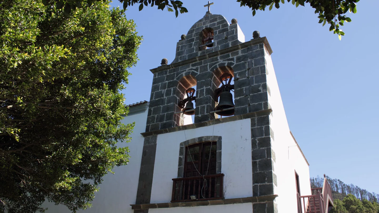
Stage six of the GR-130 runs from Los Llanos de Aridane to Los Canarios in southern La Palma. It begins at Plaza de España between the town hall and Nuestra Señora de los Remedios church. Passing Calle Real, the Benahorita Archaeological Museum and urban side streets, the Camino leaves the largest town on the west side. The transition from historic façades to banana fields and volcanic ground already gives the first section considerable variety.
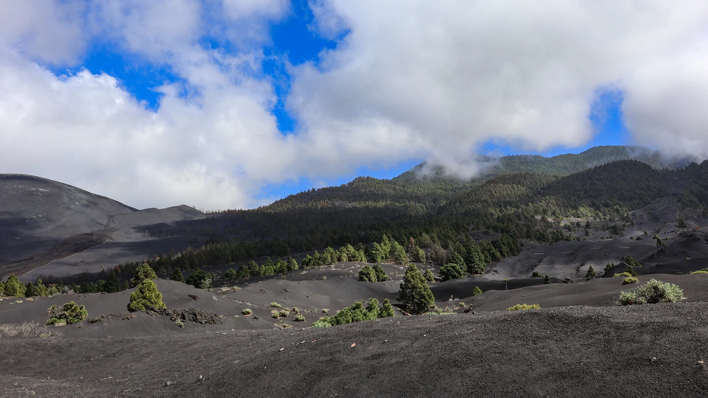
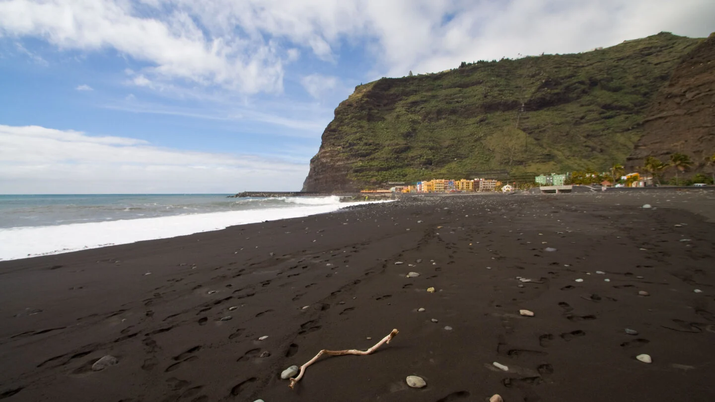
The 2021 Tajogaite eruption decisively changed the traditional path. The historic line is not continuously walkable through the affected zone; the Sunhikes description resumes the route after roughly 2.9 kilometres at the Las Manchas sports ground. No one should improvise across lava fields, closed roads or private property between these points. The young volcanic landscape nevertheless defines the views: black lapilli, solidified flows and the new cone document an event that permanently reshaped the Aridane valley.
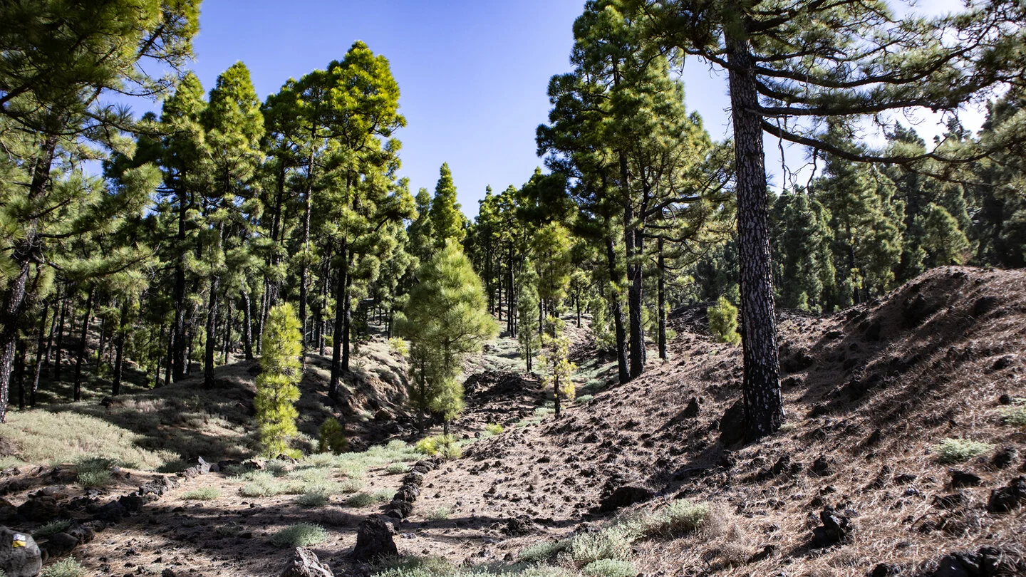
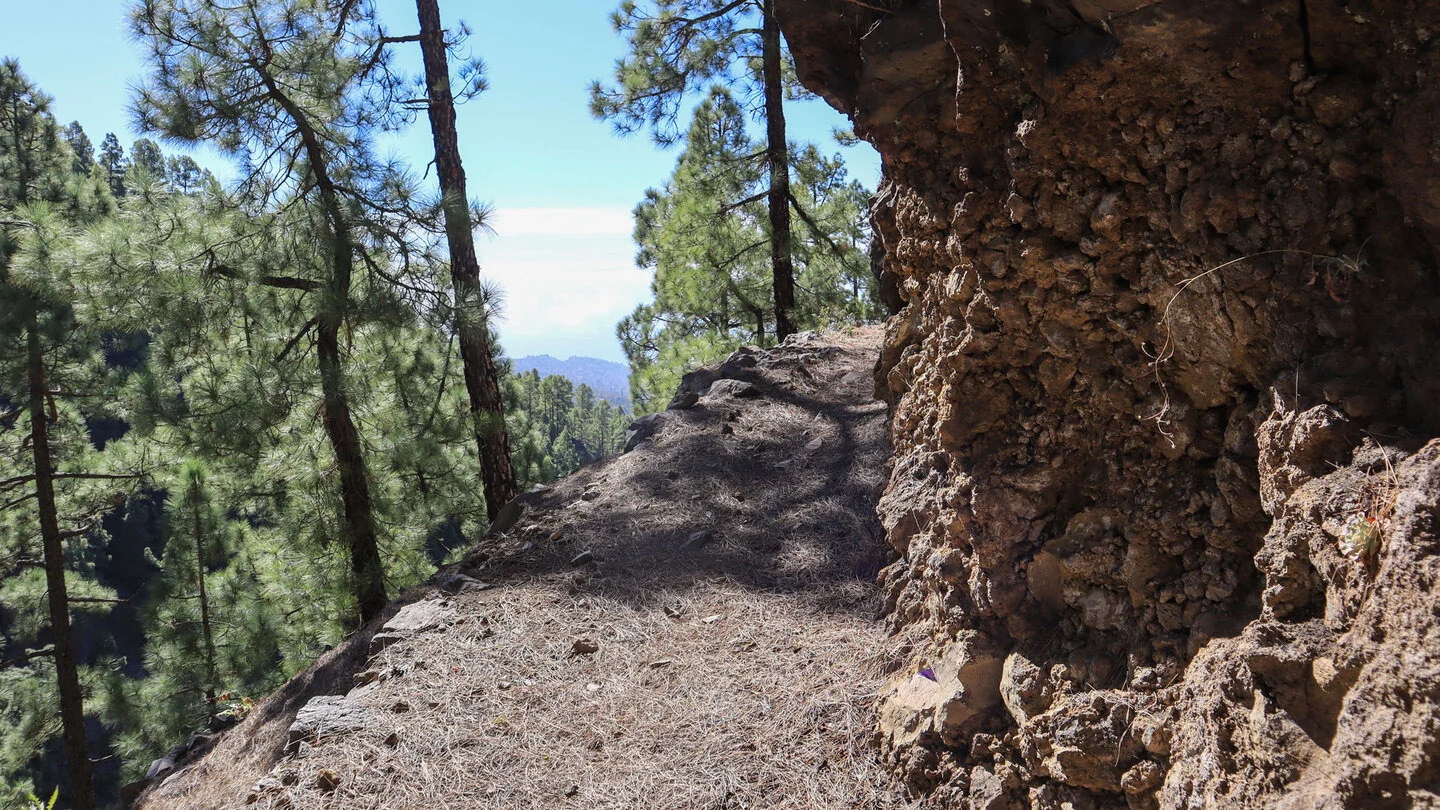
From Las Manchas, the GR-130 climbs through farmland and fertile volcanic soil. Along the LP-212 and historic paths, the route steadily gains height for several kilometres. Denser Cumbre Vieja pine forest begins around 800 metres. Paved sections pass small calderas such as Hoyo Frío, followed by an alternation of woodland, vineyards and open volcanic terrain.
Near Los Canarios, the distinctive Pino de Santo Domingo is reached at about 920 metres. Views extend to both coasts and, in clear conditions, El Hierro. The stage ends at the connection with the GR-131; Los Canarios, refreshments and bus links are nearby. The published figures of 23.8 kilometres, 916 metres up and 426 down show that this remains a very long day even without a technical crux.
For this route, current information takes priority over every older description. Before setting out, confirm the authorised bypass or transfer through the Tajogaite zone and the status of every later section. Old waymarks inside a closed area are not permission to enter. Only plan the day once transport between walkable sections, the return and sufficient daylight are secured. Sunhikes and official island notices provide the essential latest information.
On Sunhikes you will find comprehensive information about the tour, including GPS track, interactive 3D view, elevation profile and a detailed description.
Open the German original
Ready for this hike?
Plan your hike with GPS track, interactive 3D view and all essential tour data for a safe and perfect hike on La Palma.
👉 Automatically translate the Sunhikes tourOpen the German original
Nearby hiking routes
Discover more hikes nearby on La Palma, from easy trails to challenging routes with spectacular views.
Holiday Homes & Accommodation near Plaza de España in Los Llanos de Aridane – Stay on La Palma
Selected holiday homes nearby – perfect for short distances, nature experiences and relaxing holidays on La Palma.


