
- Home
-
Point of Interest
MunicipalityCategory
 La Palma
La isla Bonita - Contact
- La Palma Blog

GR 131 El Bastón: Across La Palma’s backbone

Hike overview

0h

Difficult

65,8 km

↑ 3819 m ↓ 3835 m
An insight into the hike:
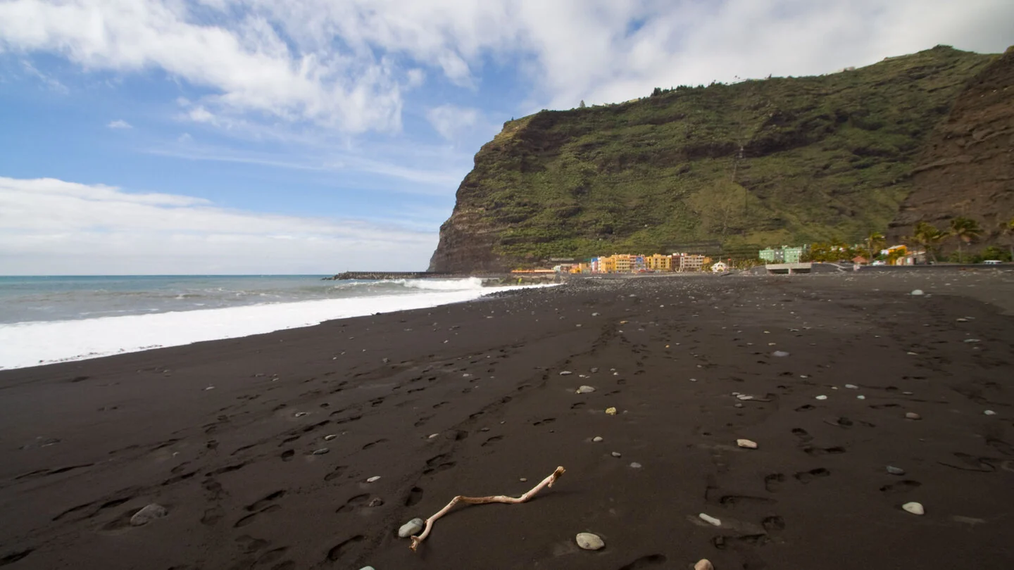
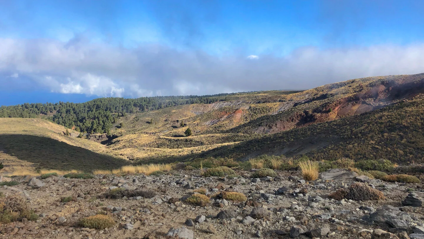
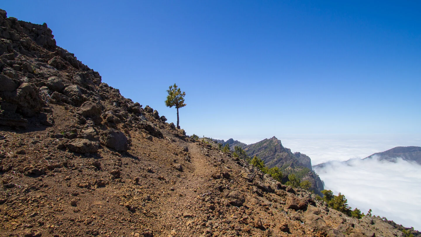
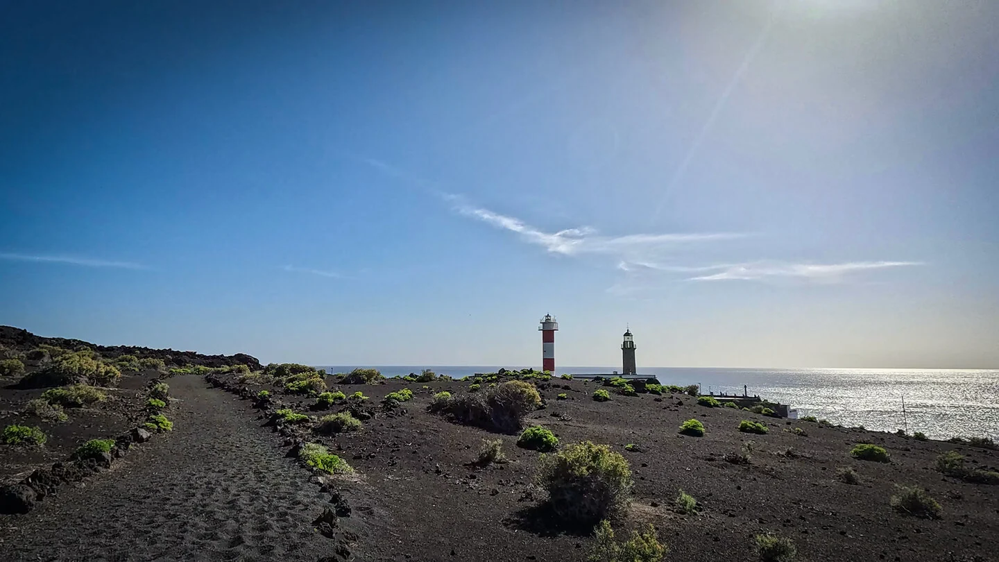
On La Palma, GR 131 is known as El Bastón and follows the island’s backbone. From sea level in Puerto de Tazacorte it climbs to the Caldera rim and 2,426-metre Roque de los Muchachos. It then crosses Cumbre Nueva and Cumbre Vieja along a chain of young volcanoes to the lighthouse at Fuencaliente.
Its scenic range is exceptional: subtropical west coast, alpine summit country above a sea of cloud, observatories, pine forest, black ash, craters and finally the Atlantic again. The trail is also highly exposed, with wind, sun and temperature capable of changing quickly at elevation.
The complete linear traverse measures 65.8 kilometres, 3,819 metres up and 3,835 down. It is officially divided into three very demanding stages. No overall duration is stated because stage choice, transfer and accommodation matter more than a calculated total. The full GR 131 is not a day hike.
Every stage needs its own logistics; pickup or onward transport at Roque de los Muchachos and Refugio El Pilar must be secured in advance. Water is limited and mist can obscure markings. This overview presents El Bastón as one complete project. Sunhikes provides detailed figures, profiles and safety advice for all three sections.
On Sunhikes you will find comprehensive information about the tour, including GPS track, interactive 3D view, elevation profile and a detailed description.
Open the German original
Ready for this hike?
Plan your hike with GPS track, interactive 3D view and all essential tour data for a safe and perfect hike on La Palma.
👉 Automatically translate the Sunhikes tourOpen the German original
Nearby hiking routes
Discover more hikes nearby on La Palma, from easy trails to challenging routes with spectacular views.

Holiday Homes & Accommodation near Puerto de Tazacorte – Stay on La Palma
Selected holiday homes nearby – perfect for short distances, nature experiences and relaxing holidays on La Palma.


