
- Home
-
Point of Interest
MunicipalityCategory
 La Palma
La isla Bonita - Contact
- La Palma Blog

PR LP 7 from Pico de la Cruz to Los Sauces

Hike overview

5h 45min

Moderate

14,4 km

↑ 145 m ↓ 2178 m
An insight into the hike:
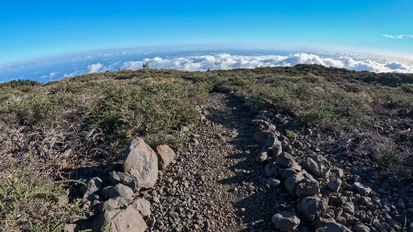
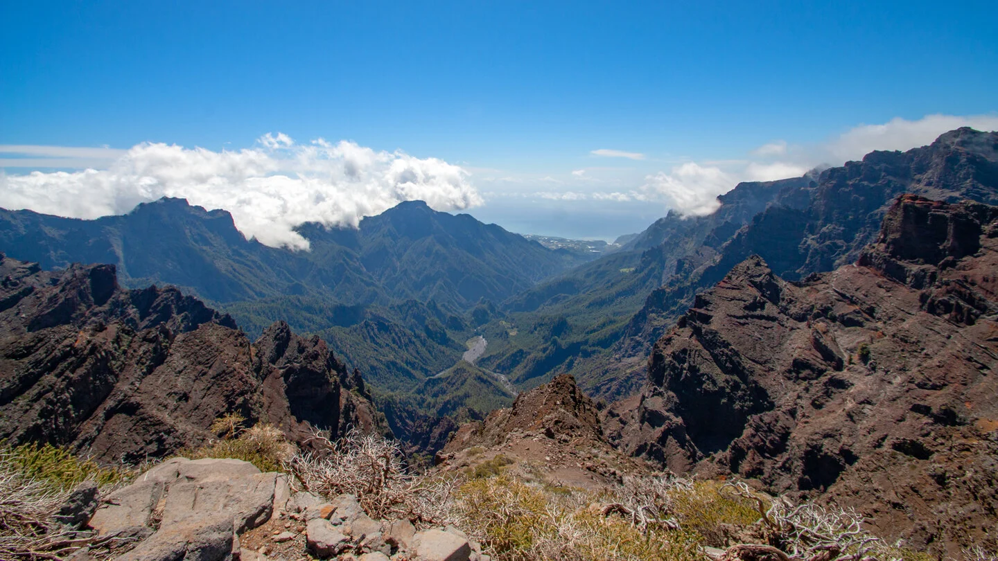
The PR LP 7 begins at Pico de la Cruz above 2,300 metres with a spectacular view across Caldera de Taburiente. Broom and low alpine plants initially dominate the exposed terrain. The panorama extends across Cumbre de los Andenes towards the Atlantic and, in clear conditions, far beyond La Palma. Wind, low temperatures and rapidly changing cloud at this altitude should be taken seriously from the outset.
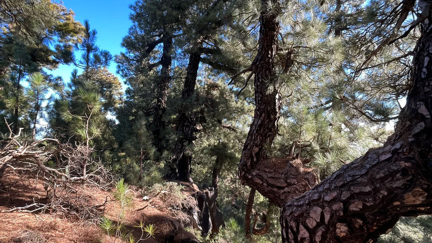
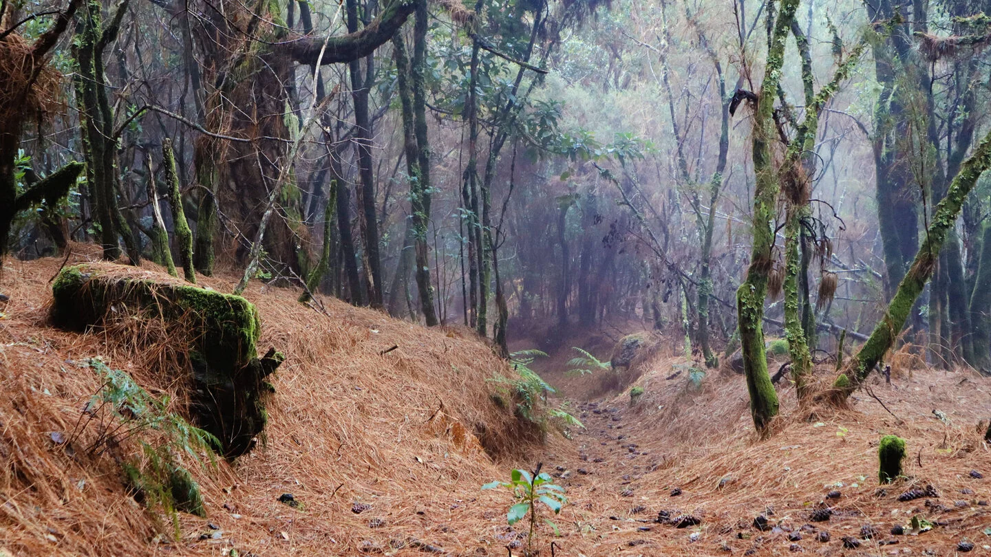
After crossing the LP-4, the trail gradually enters pine forest. Huge Canary pines line the ridge while views open into Barranco de Gallegos. As altitude decreases, tree heath and the first laurel trees become mixed into the woodland. Within one route, the hike therefore crosses an exceptional range of La Palma’s vegetation zones.
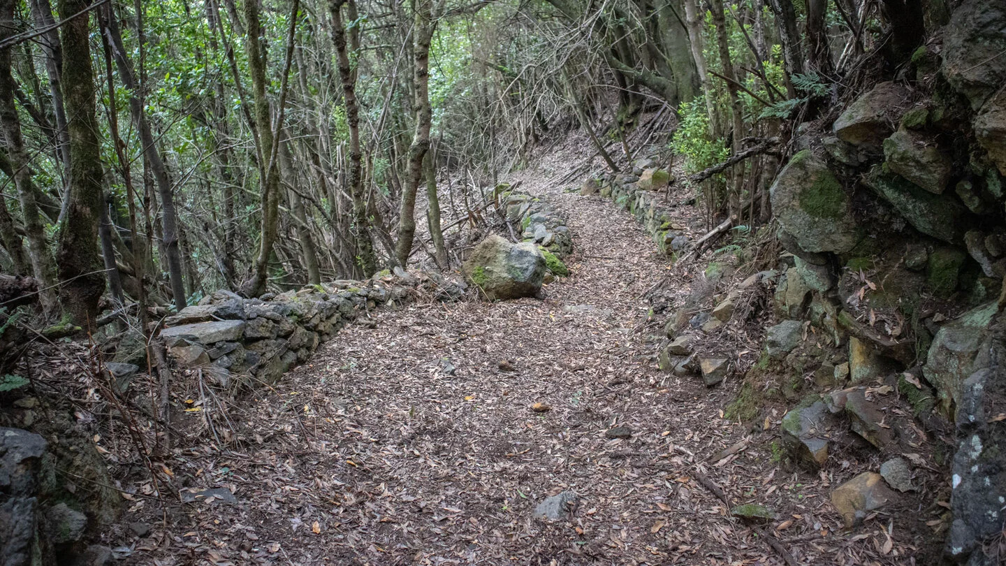
Lower down, the surroundings become damper and denser. A detour to Mirador de los Barandas gives a deep view into Barranco del Agua and Bosque de los Tilos, one of the Canary Islands’ most important laurel forests. The large arch bridge of Los Tilos is also visible towards the coast. Mirador de Llano Clara provides another panorama across the green ravine landscape.
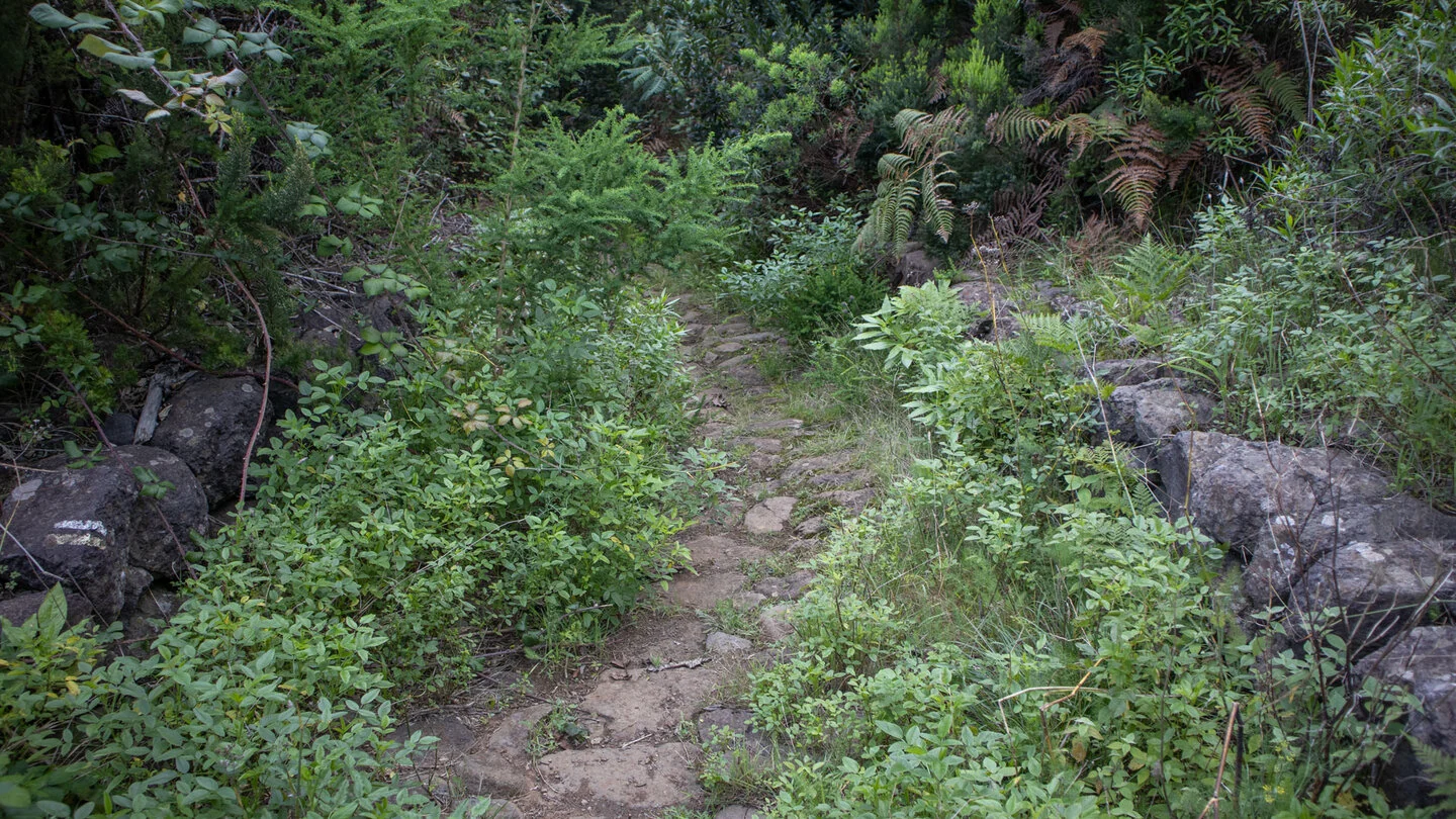
The final section passes cultivated terraces and the historic El Regente watermill before entering central Los Sauces. Restaurants and cafés offer welcome refreshments there. Despite only 145 metres of ascent, the hike is physically demanding because it descends 2,178 metres. The prolonged strain on knees and thighs requires fitness, sure-footedness and supportive, well-cushioned hiking footwear.
Start and finish are far apart and at completely different elevations, so organise transport in advance; Sunhikes recommends a taxi for access to Pico de la Cruz. Carry sufficient water and food plus protection from sun, rain, wind and cold. Postpone the route in poor visibility, storms or when trails are wet. The exact route, full tour description, current advice, elevation profile and GPS data are available from our partner Sunhikes.
On Sunhikes you will find comprehensive information about the tour, including GPS track, interactive 3D view, elevation profile and a detailed description.
Open the German original
Ready for this hike?
Plan your hike with GPS track, interactive 3D view and all essential tour data for a safe and perfect hike on La Palma.
👉 Automatically translate the Sunhikes tourOpen the German original
Nearby hiking routes
Discover more hikes nearby on La Palma, from easy trails to challenging routes with spectacular views.


Holiday Homes & Accommodation near Pico de la Cruz nahe der LP-4 – Stay on La Palma
Selected holiday homes nearby – perfect for short distances, nature experiences and relaxing holidays on La Palma.


