
- Home
-
Point of Interest
MunicipalityCategory
 La Palma
La isla Bonita - Contact
- La Palma Blog

PR LP 8 from Pico de la Cruz to Barlovento

Hike overview

4h 45min

Difficult

11,9 km

↑ 26 m ↓ 1799 m
An insight into the hike:
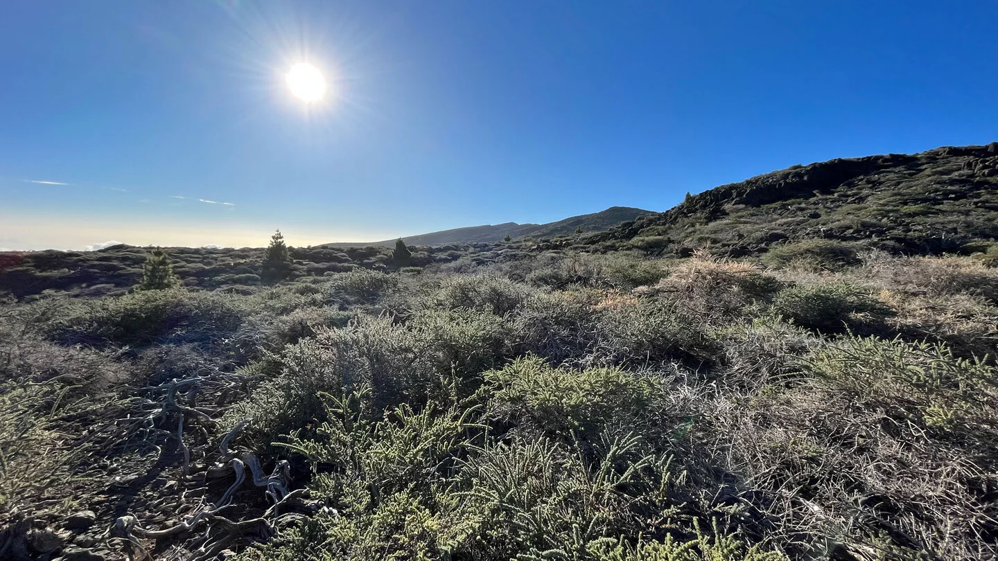
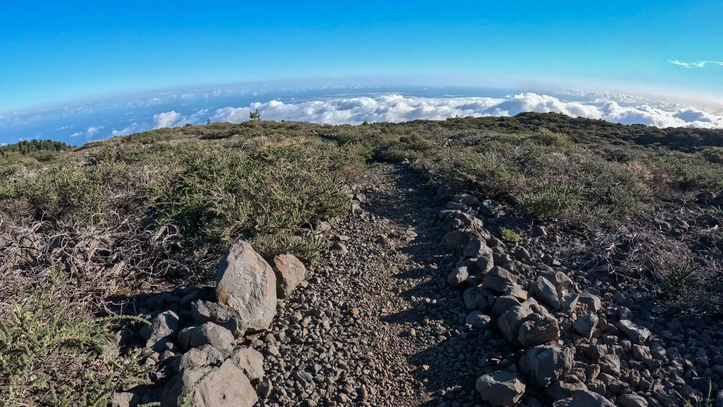
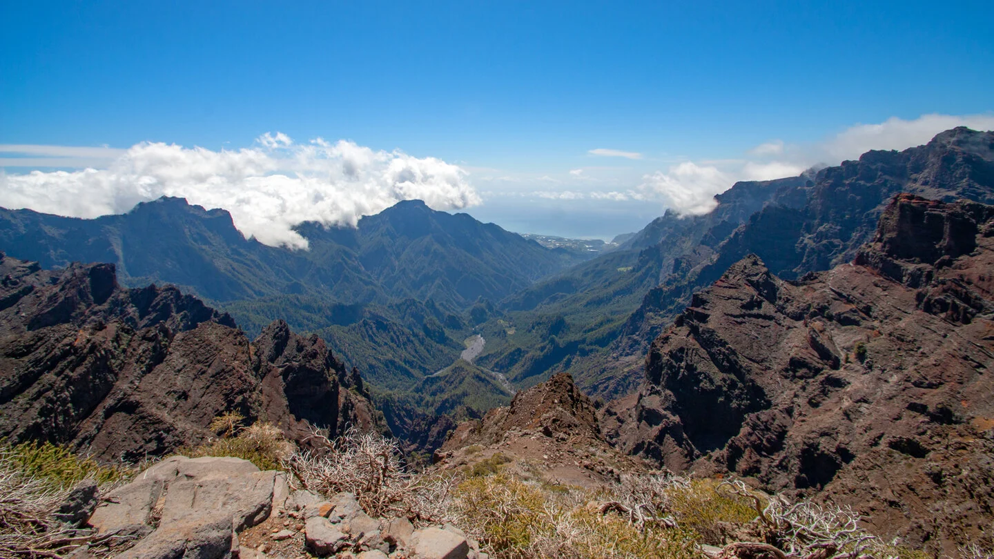
The PR LP 8 links La Palma’s high mountains with the green north-east in one almost continuously descending line. The walk starts at Pico de la Cruz at 2,333 metres, with broad views into the Caldera de Taburiente and across the summit chain. After crossing the LP-4, the yellow-and-white trail enters an open landscape of low shrubs, rock and volcanic ground. The number of vegetation zones crossed by this route becomes apparent within the first few kilometres.
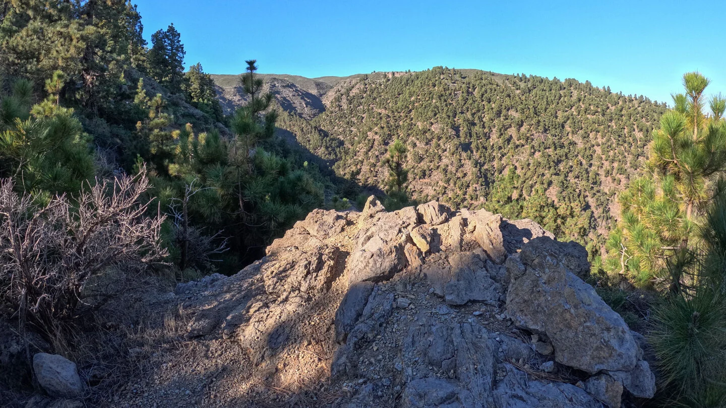
For around 3.2 kilometres, the PR LP 8 shares its course with the PR LP 7. It then continues downhill along the ridge between Barranco del Agua and Barranco de Gallegos. Open high ground gradually gives way to Canary pine forest, with glimpses of the north-eastern coast and, in suitable conditions, a sea of cloud between the trees. Most of the route is on paths, where pine needles, loose stones and the relentless gradient demand sustained concentration.
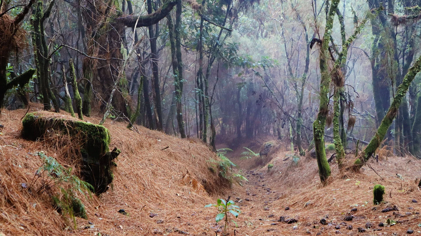
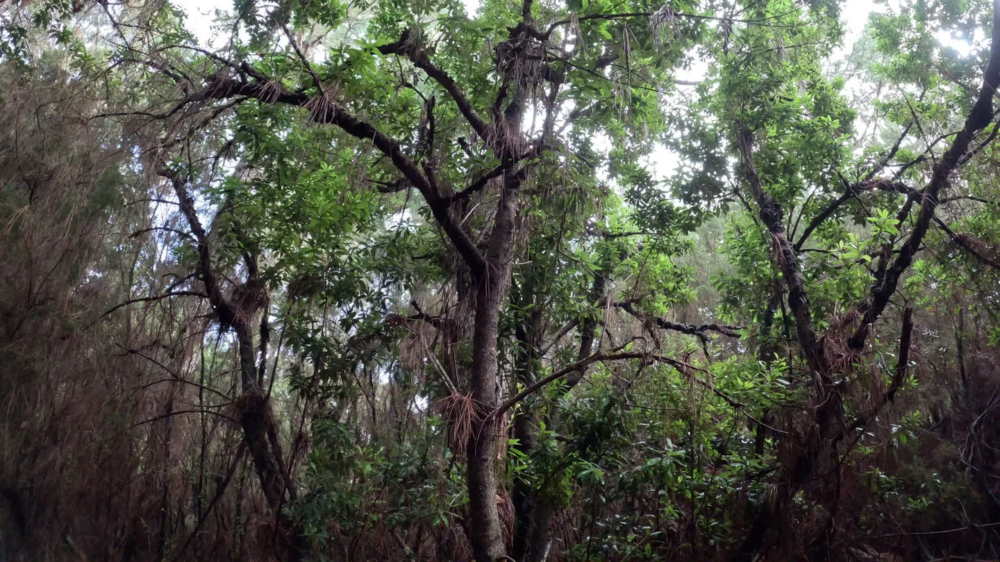
As altitude is lost, the forest becomes denser and more humid. Tree heath, laurel species and immense old trees mark the transition into Las Nieves Natural Park. This transformation is the walk’s defining attraction: within a few hours it travels from a barren alpine zone into woodland that can feel almost enchanted. Later the trail meets the PR LP 20 and approaches the recreation area and large Laguna de Barlovento reservoir, set inside an old volcanic crater.
The final section passes farmland, tracks and short stretches of road. After crossing the LP-109, the markings lead past the football ground to the entrance of Barlovento. The route climbs only 26 metres but descends approximately 1,799 metres. This enormous load on knees and thighs explains the difficult rating even though navigation is generally straightforward. Walking poles can provide valuable relief for many hikers.
As this is a point-to-point route, arrange a hiking taxi to the start on the LP-4 in advance. Above 2,300 metres, cold, wind, snow or rain can make conditions severe very quickly; the route is not recommended in poor weather. Carry water, food and protection from sun, rain and wind. The exact route, full tour description, current advice, elevation profile and GPS data are available from our partner Sunhikes.
On Sunhikes you will find comprehensive information about the tour, including GPS track, interactive 3D view, elevation profile and a detailed description.
Open the German original
Ready for this hike?
Plan your hike with GPS track, interactive 3D view and all essential tour data for a safe and perfect hike on La Palma.
👉 Automatically translate the Sunhikes tourOpen the German original
Nearby hiking routes
Discover more hikes nearby on La Palma, from easy trails to challenging routes with spectacular views.


Holiday Homes & Accommodation near Pico de la Cruz an der LP-4 – Stay on La Palma
Selected holiday homes nearby – perfect for short distances, nature experiences and relaxing holidays on La Palma.


