
- Home
-
Point of Interest
MunicipalityCategory
 La Palma
La isla Bonita - Contact
- La Palma Blog

High-Level Hike from Pico de la Cruz to Roque de los Muchachos

Hike overview

5h

Moderate

10,1 km

↑ 598 m ↓ 601 m
An insight into the hike:
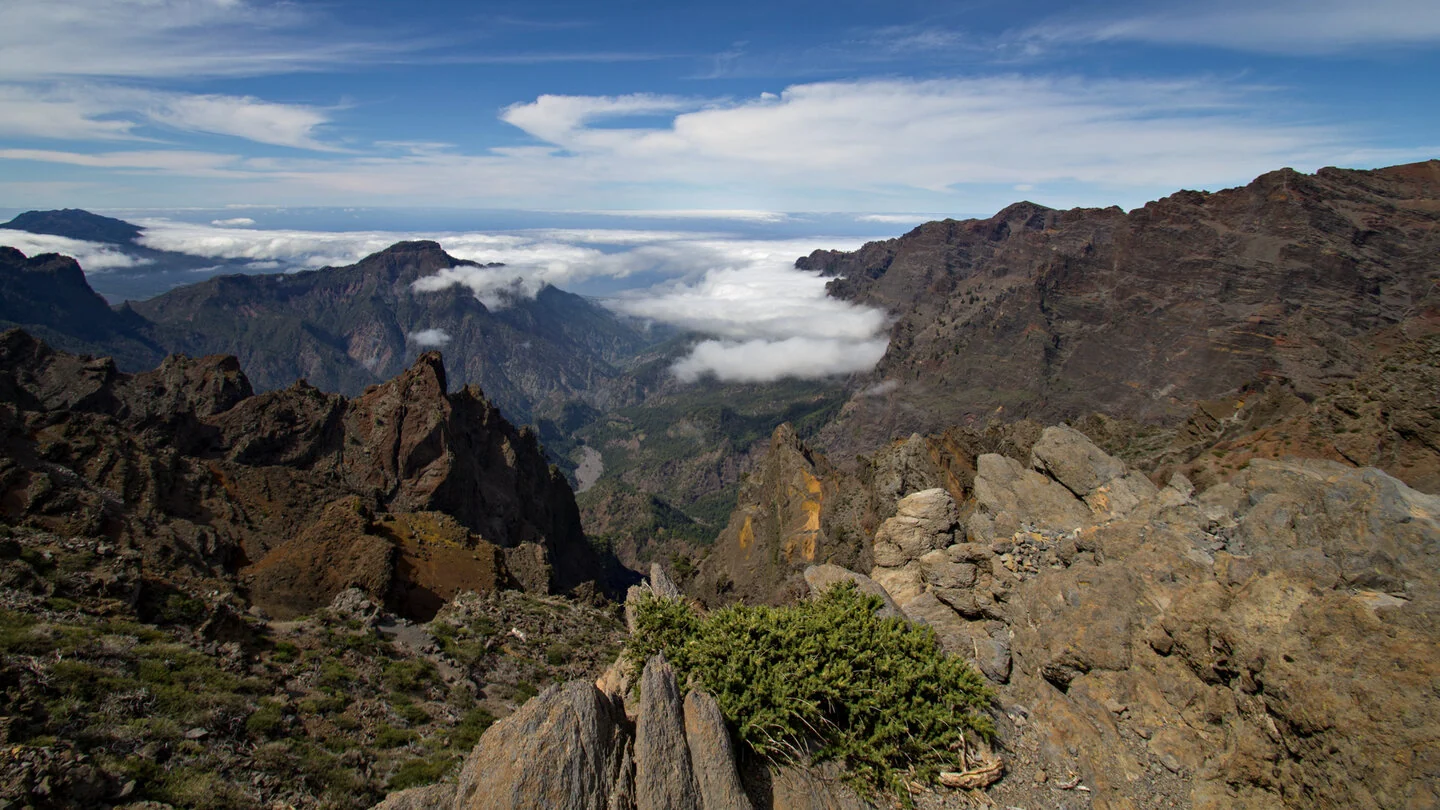
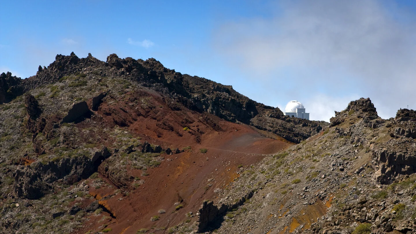
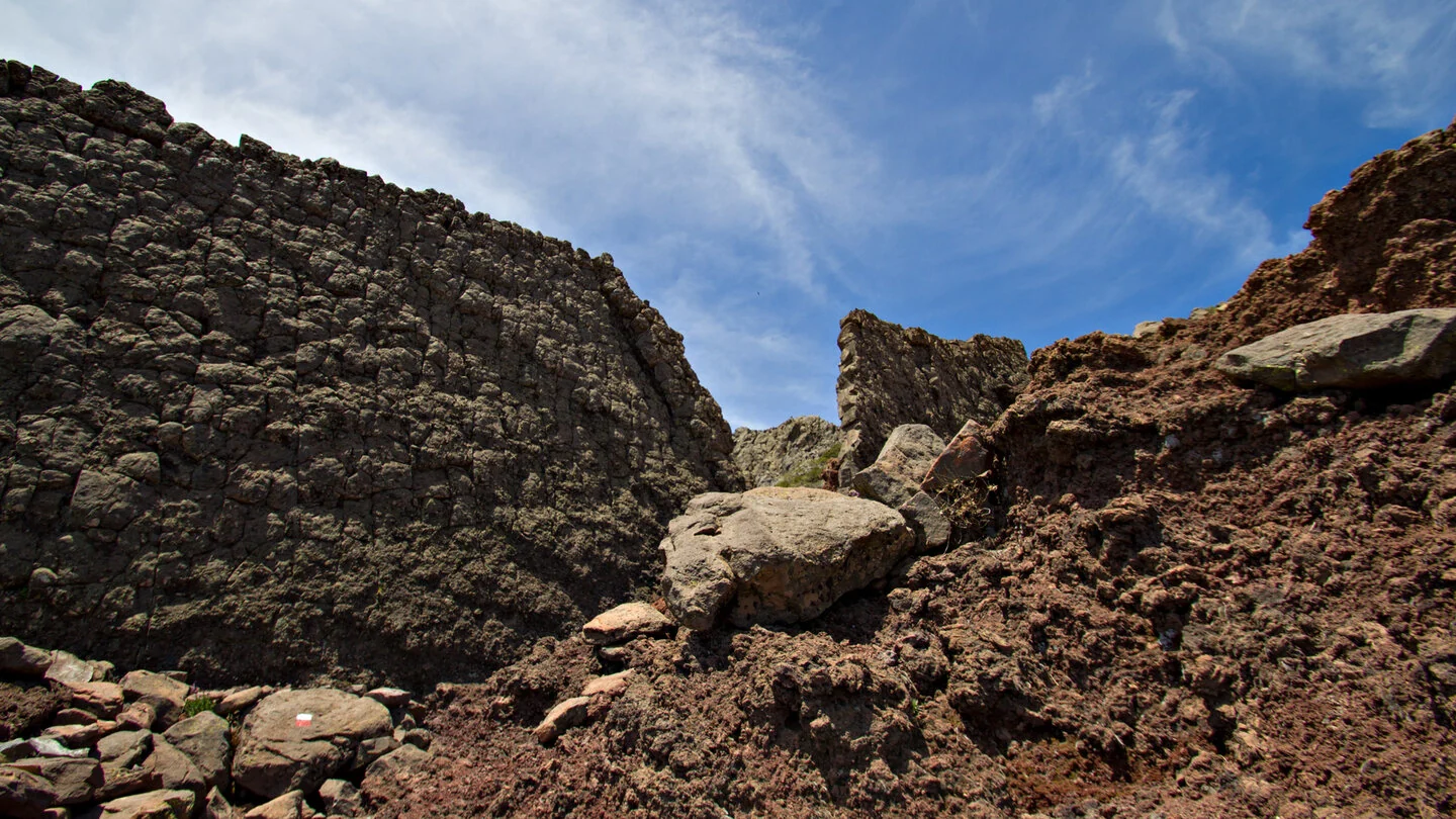
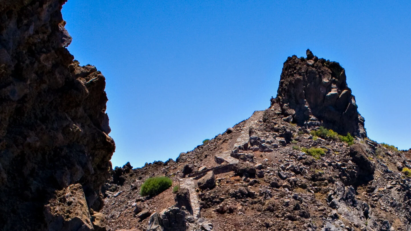
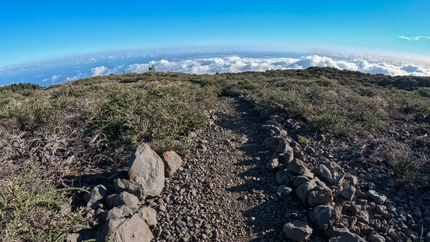
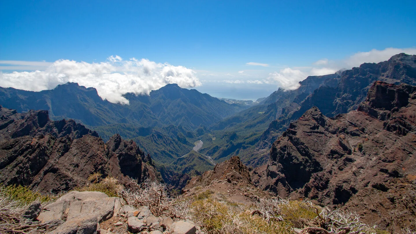
The high-level hike from Pico de la Cruz to Roque de los Muchachos crosses the roof of La Palma. The path follows the rugged northern rim of the Caldera de Taburiente through reddish pyroclastic slopes and dark basalt formations. Spectacular views repeatedly plunge into the national park, while a sea of cloud often gathers below the ridge on the outer side of the island.
The route passes the distinctive Pared de la Roberto and reaches the astrophysical observatory. At 2,426 metres, Roque de los Muchachos is La Palma’s highest point; continuing to Espigón del Roque adds new perspectives across the summit chain and the caldera. In clear conditions, views extend towards Cumbre Vieja, Tajogaite and the neighbouring islands.
The figures of 10.1 kilometres and roughly 600 metres of ascent appear moderate, but altitude changes the demands. Strong sun, wind, mist and cold can alternate rapidly, while stony paths require sure-footedness and a head for heights. Water, food, sturdy footwear and full protection from sun, wind and rain are essential. Do not start in snow, storms or dense cloud.
The route starts and finishes beside a trail information board on the LP-4, where only a few roadside parking bays are available. Any access restrictions around the observatory or national park must be observed. The exact course on PR-LP 6+7 and GR-131, full description, current advice, elevation profile and GPS data are available from our partner Sunhikes.
On Sunhikes you will find comprehensive information about the tour, including GPS track, interactive 3D view, elevation profile and a detailed description.
Open the German original
Ready for this hike?
Plan your hike with GPS track, interactive 3D view and all essential tour data for a safe and perfect hike on La Palma.
👉 Automatically translate the Sunhikes tourOpen the German original
Nearby hiking routes
Discover more hikes nearby on La Palma, from easy trails to challenging routes with spectacular views.

Holiday Homes & Accommodation near Wandertafel an der LP-4 zwischen Kilometer 31 und 32 – Stay on La Palma
Selected holiday homes nearby – perfect for short distances, nature experiences and relaxing holidays on La Palma.


