
- Home
-
Point of Interest
MunicipalityCategory
 La Palma
La isla Bonita - Contact
- La Palma Blog

PR LP 9 from Los Andenes to Santo Domingo de Garafía


Hike overview

7h 30min

Difficult

18,3 km

↑ 356 m ↓ 2121 m
An insight into the hike:
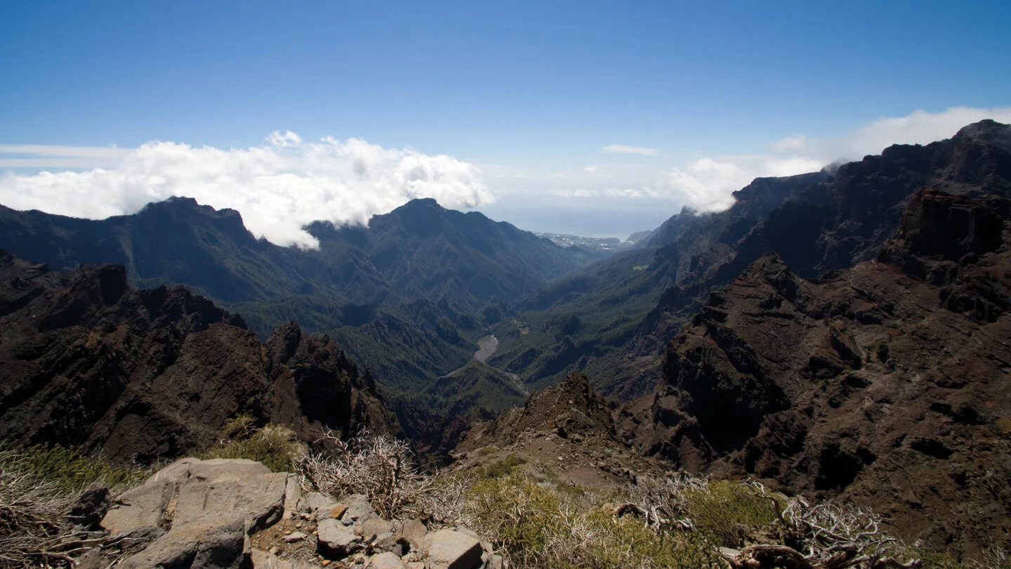
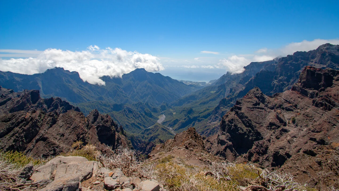
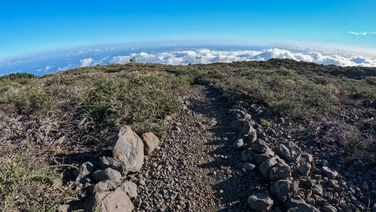
The PR LP 9 starts at Mirador de Los Andenes above 2,250 metres with a spectacular view into the Caldera de Taburiente. Within a few steps, it leaves sparse high-mountain vegetation and follows Lomo de Los Corraletes towards Pinar de Garafía. Cloud frequently rises from the north, creating dramatic changes between sun, mist and distant views.
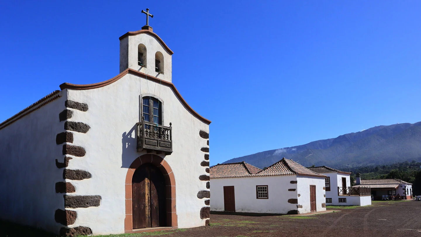
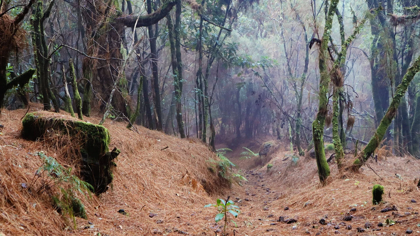
The long descent passes Barranco de los Hombres, Roque del Faro and La Mata. Canary pines, tree heath and laurel-forest species alternate with altitude. Near La Zarza, the route touches one of the island’s most important archaeological landscapes. Ermita de San Antonio del Monte, Fuente de la Huerta and an old water tunnel in Barranco de los Sables follow lower down.
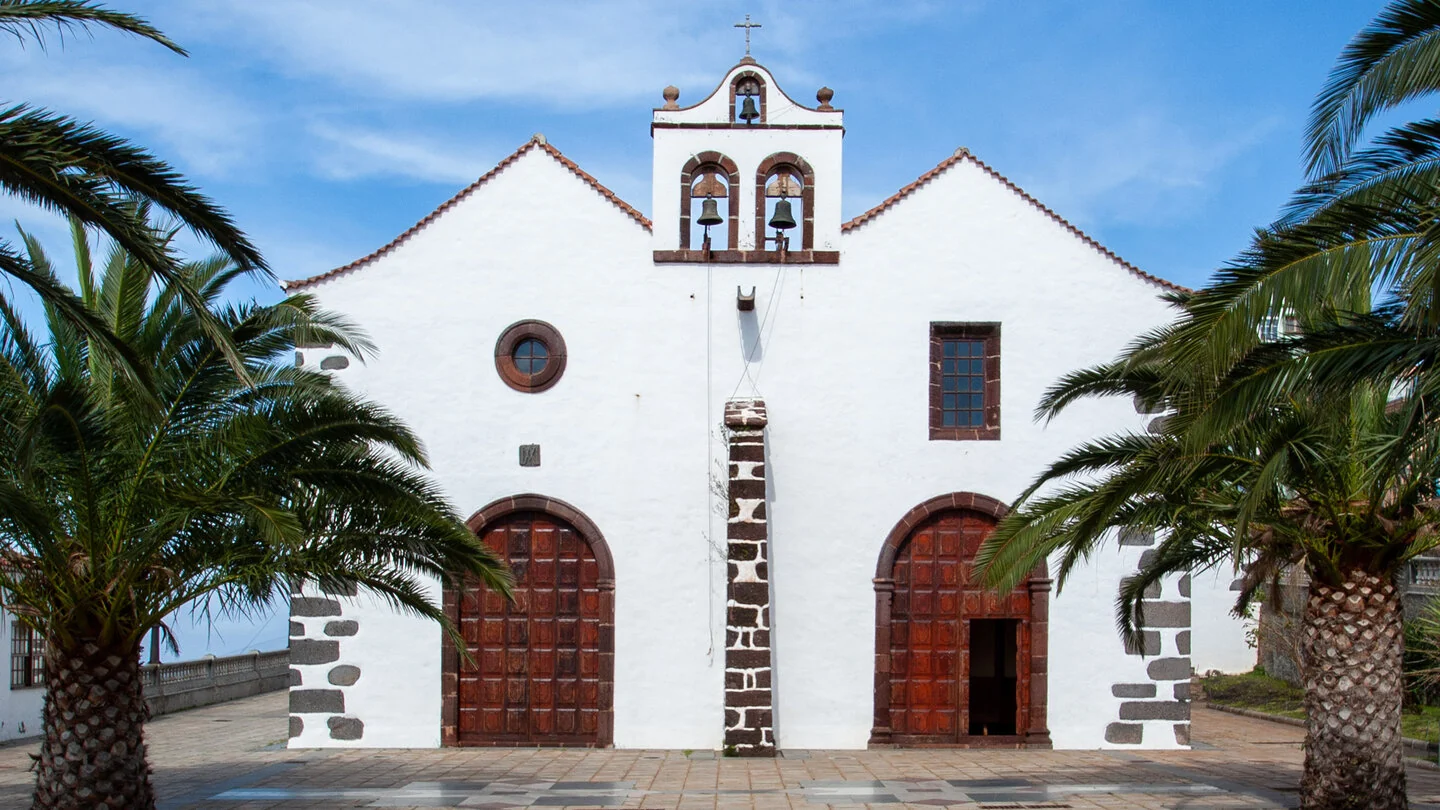
After 18.3 kilometres, the route ends in Santo Domingo de Garafía. Despite the mainly descending direction, it includes 356 metres of climbing and 2,121 metres of descent. Its length, stony trails and immense height loss make it difficult. Poles help preserve energy for the final kilometres through cultivated countryside.
Arrange a taxi to the LP-4 start in advance. The summit can be cold and windy while Santo Domingo is considerably warmer.
Planning should consider not only distance but also the elevation profile, surface and weather. On La Palma, sunshine, wind, trade-wind cloud and brief showers can change within only a few kilometres. Carry sufficient water, a snack, sturdy footwear and protection from sun and rain even when conditions are good at the start. Check current trail closures and information from the protected areas before departure. For point-to-point routes, organise the return by taxi, bus or a second vehicle in advance. The exact route, full tour description, current advice, elevation profile and GPS data are available from our partner Sunhikes.
On Sunhikes you will find comprehensive information about the tour, including GPS track, interactive 3D view, elevation profile and a detailed description.
Open the German original
Ready for this hike?
Plan your hike with GPS track, interactive 3D view and all essential tour data for a safe and perfect hike on La Palma.
👉 Automatically translate the Sunhikes tourOpen the German original
Nearby hiking routes
Discover more hikes nearby on La Palma, from easy trails to challenging routes with spectacular views.

Holiday Homes & Accommodation near Mirador de Los Andenes an der LP-4 – Stay on La Palma
Selected holiday homes nearby – perfect for short distances, nature experiences and relaxing holidays on La Palma.


