
- Home
-
Point of Interest
MunicipalityCategory
 La Palma
La isla Bonita - Contact
- La Palma Blog

SL FU 111: Volcán Martín to Fuente de El Tión


Hike overview

0h 40min

Moderate

1,6 km

↑ 0 m ↓ 338 m
An insight into the hike:
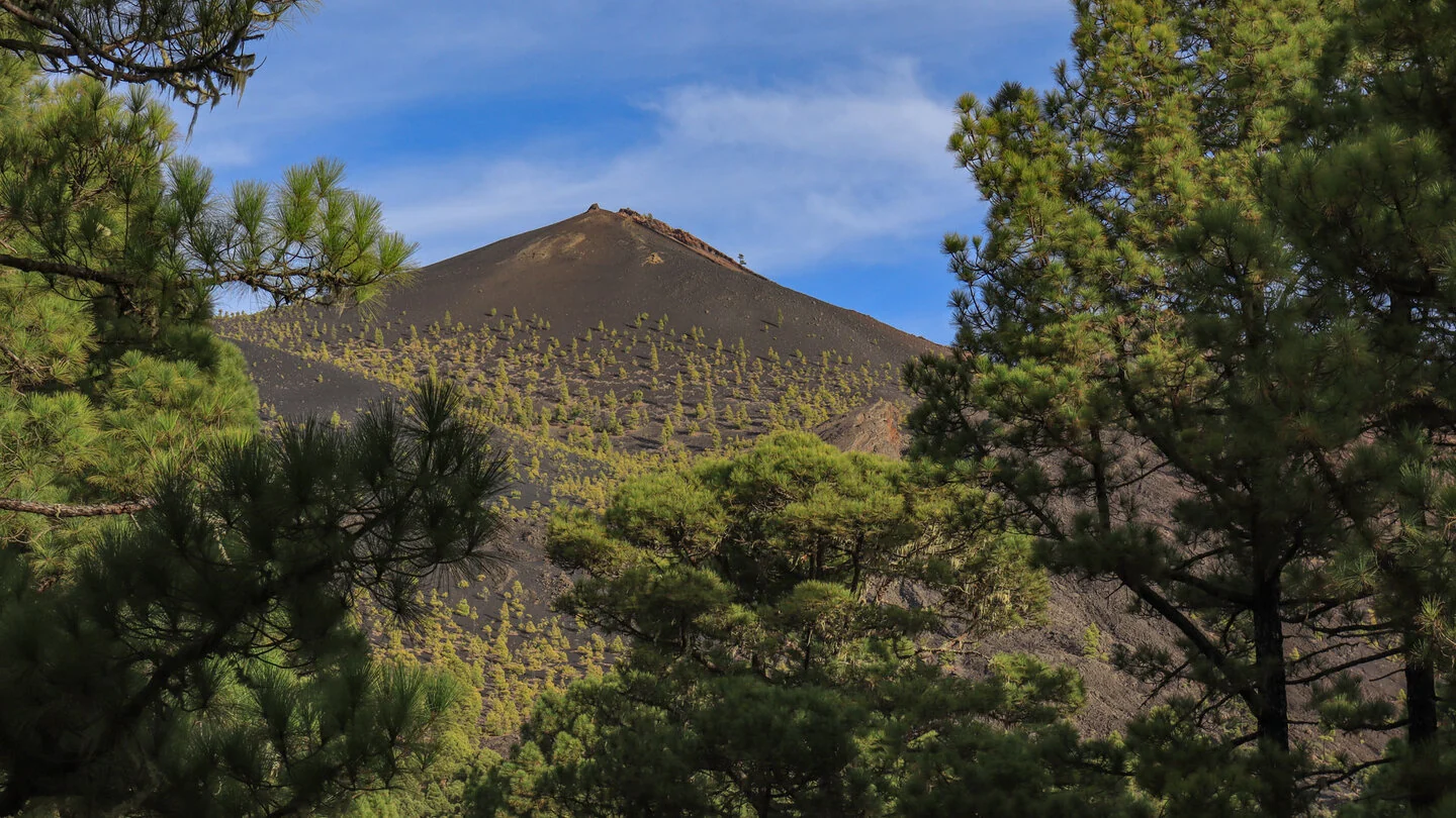
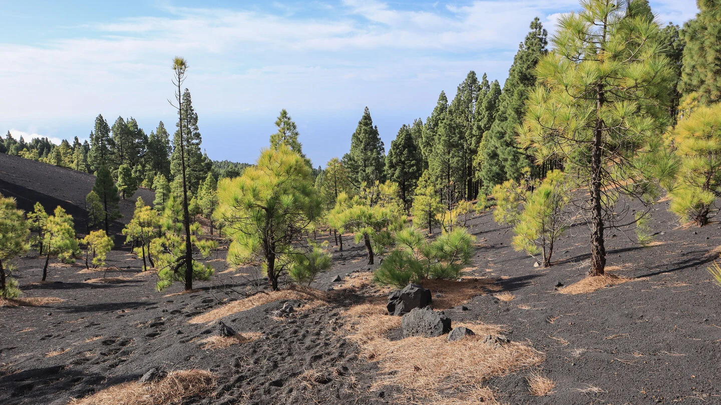
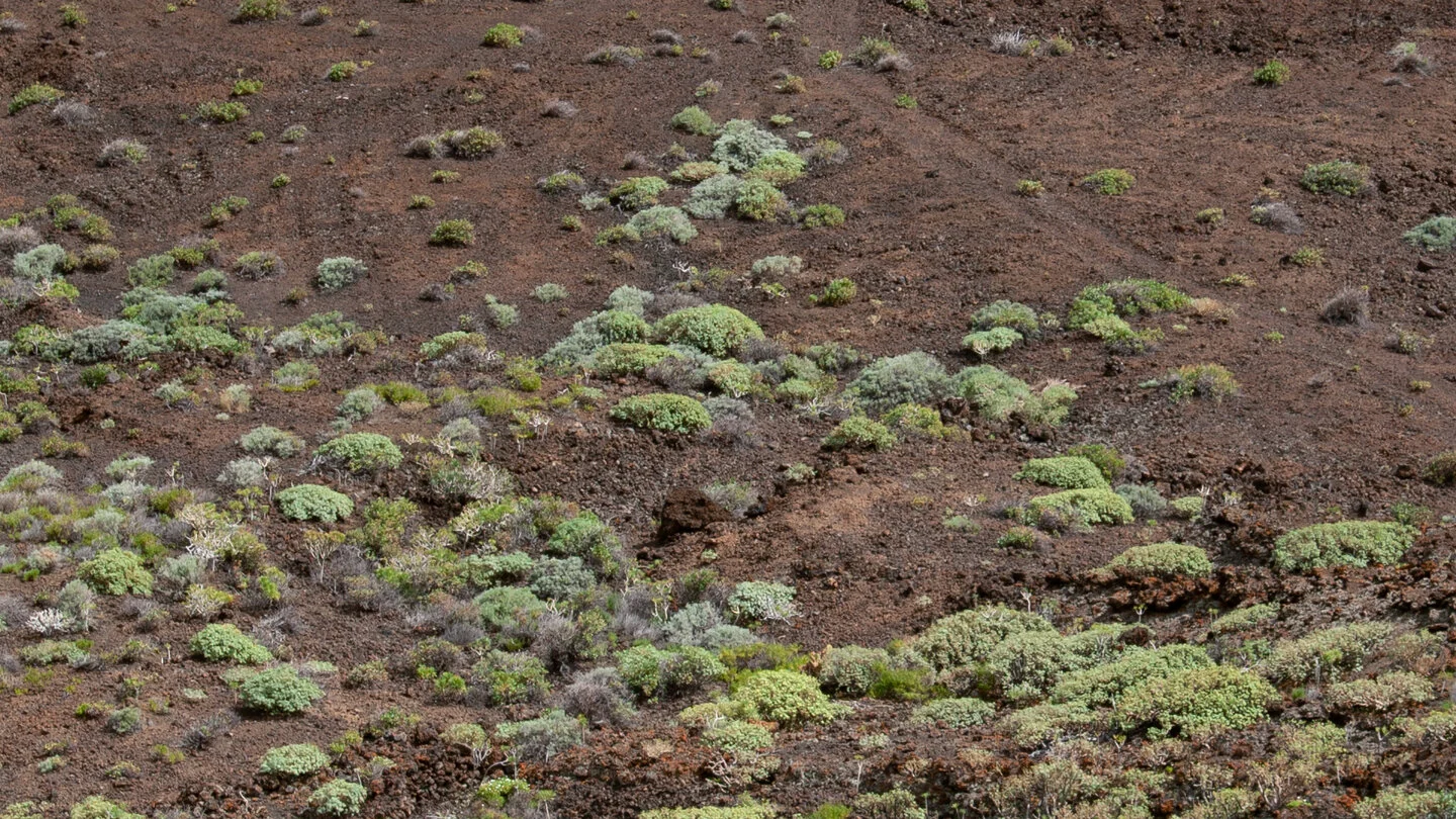
SL FU 111 is not a conventional day loop but a short link in Fuencaliente’s trail network. It starts below striking Volcán Martín and moves from open volcanic ground into Canary pine forest. Black ash, reddish rock and green crowns create a memorable contrast despite the route’s modest length.
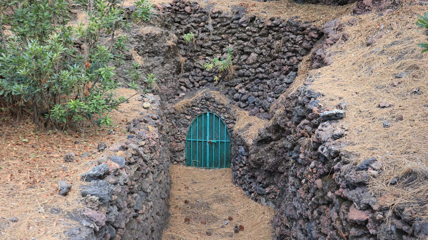
The path loses 338 metres in only 1.6 kilometres. It crosses SL FU 110 and finishes at the forest road by Fuente de El Tión. The published time of up to 40 minutes applies to the downhill section; walking the opposite way or returning adds a much more demanding climb.
It works best in combination with the trail around Martín or other Cumbre forest tracks. Anyone walking this link alone needs reliable pickup arrangements or must climb back by the same steep line. Allow at least an extra half hour for the return, and more at a relaxed pace.
Good grip on ash and pine needles, water and an offline map matter more than the short distance suggests. Check every connection before setting out. Sunhikes shows the exact junction, the crossing with SL FU 110 and the complete route data.
On Sunhikes you will find comprehensive information about the tour, including GPS track, interactive 3D view, elevation profile and a detailed description.
Open the German original
Ready for this hike?
Plan your hike with GPS track, interactive 3D view and all essential tour data for a safe and perfect hike on La Palma.
👉 Automatically translate the Sunhikes tourOpen the German original
Nearby hiking routes
Discover more hikes nearby on La Palma, from easy trails to challenging routes with spectacular views.


Holiday Homes & Accommodation near Abzweig am Fuß des Volcán Martín – Stay on La Palma
Selected holiday homes nearby – perfect for short distances, nature experiences and relaxing holidays on La Palma.


