
- Home
-
Point of Interest
MunicipalityCategory
 La Palma
La isla Bonita - Contact
- La Palma Blog

Circular hike from Fuente de los Roques to Volcán Martín


Hike overview

5h 30min

Moderate

10,2 km

↑ 552 m ↓ 554 m
An insight into the hike:
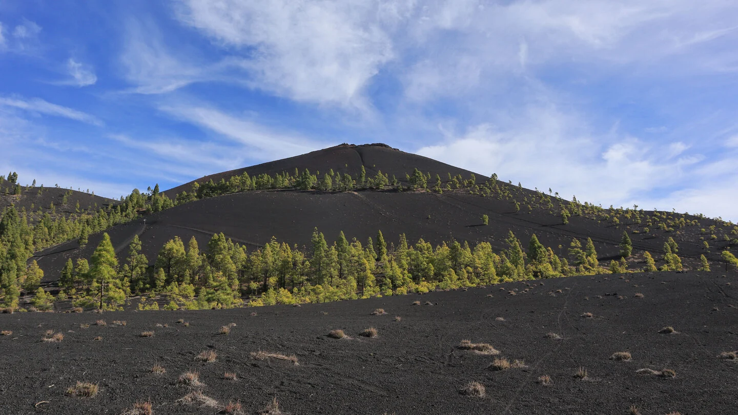
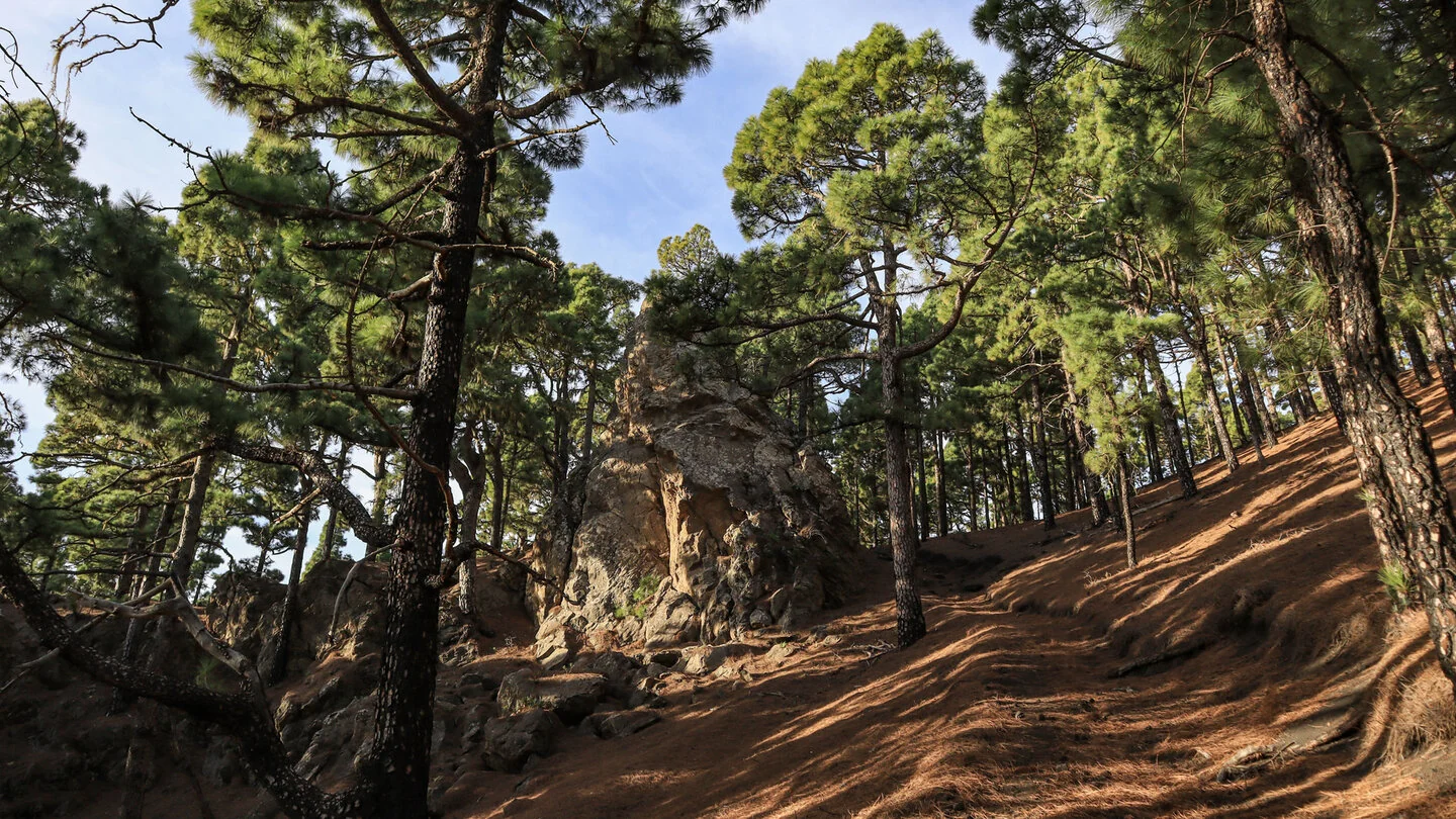
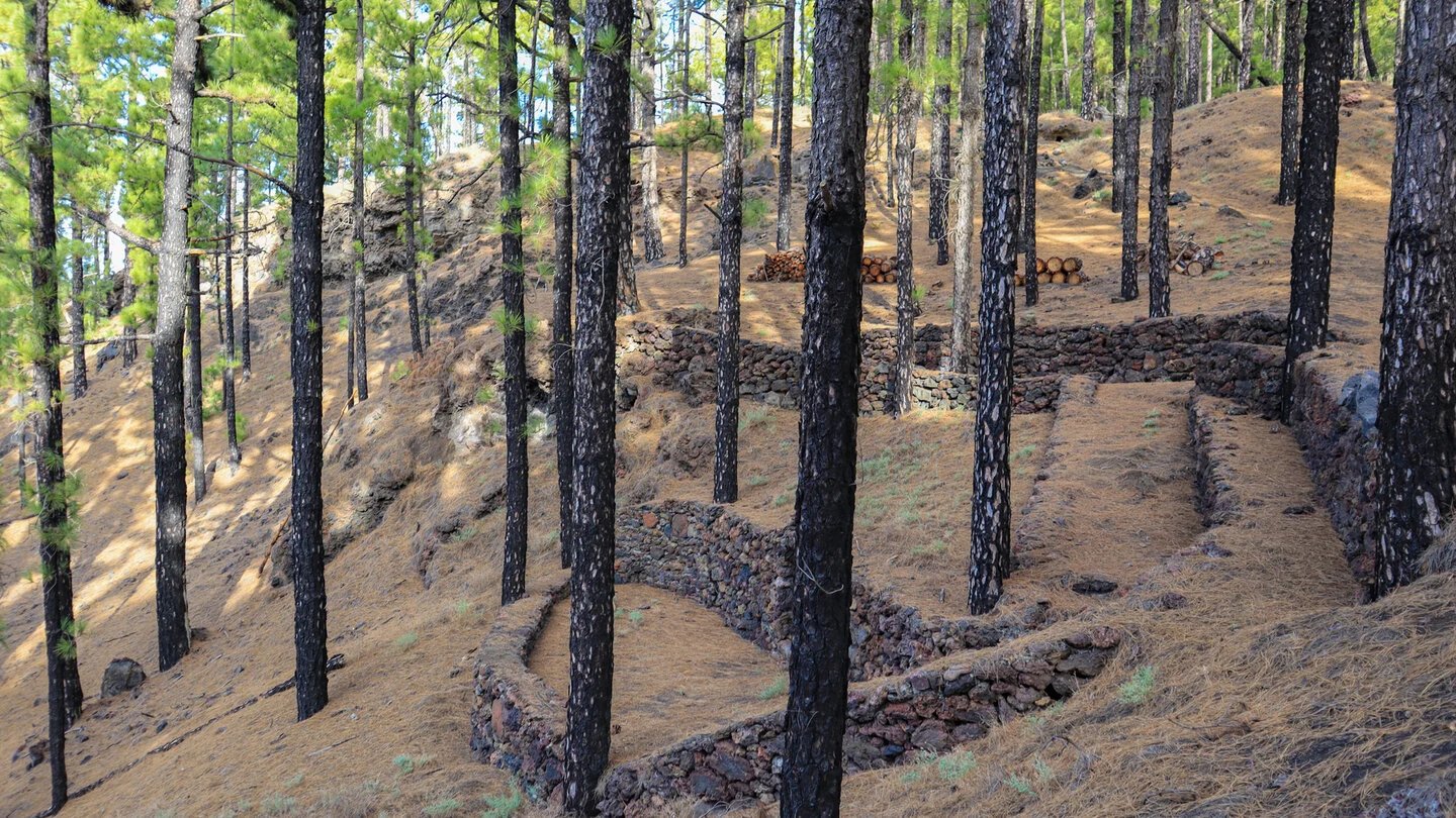
The circular hike starts at the Fuente de los Roques picnic and barbecue area above Fuencaliente. Shadier trails initially pass through Canary pine forest and skirt Montaña del Fuego. Dark lava and bright green pines show how quickly vegetation reclaims the young volcanic terrain. An optional detour to the remote Fuente del Tión can add a quiet water gallery and traces of the island’s traditional water management.
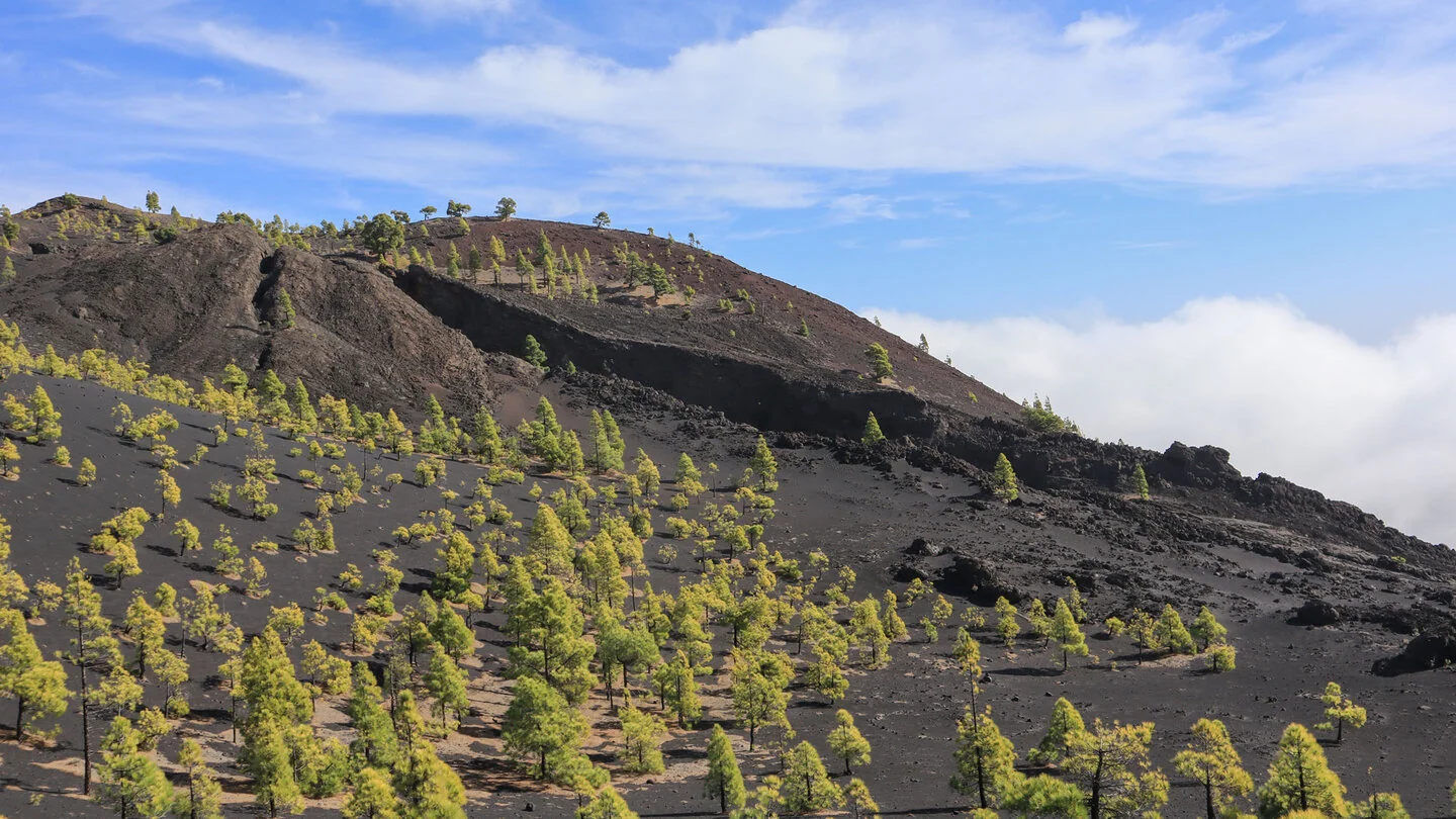
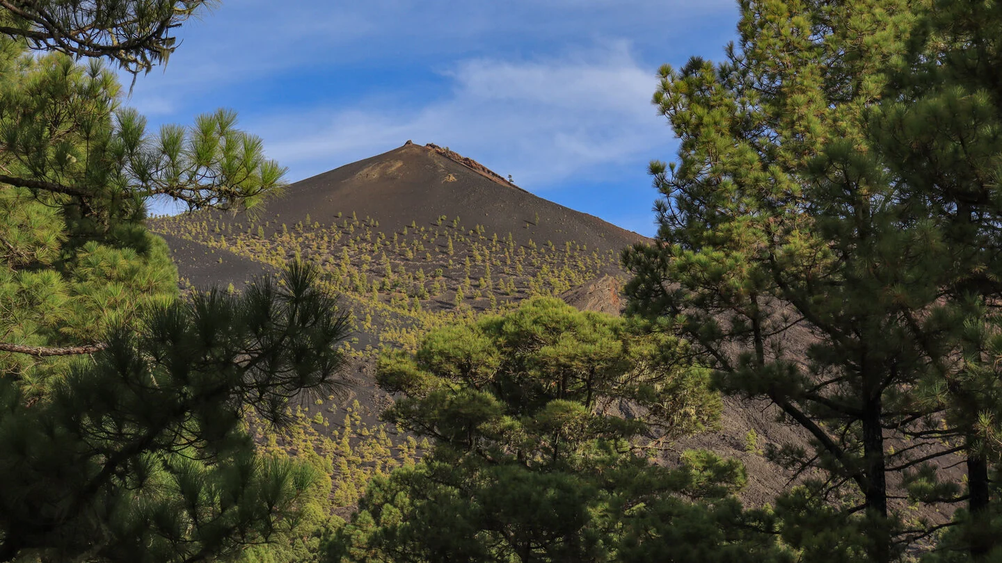
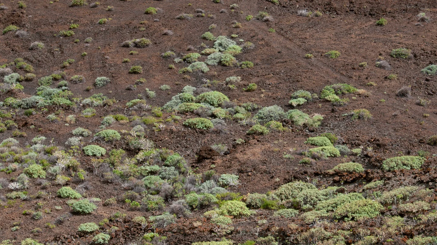
The route later joins the GR-131 and thus the celebrated Ruta de los Volcanes. The ground becomes more exposed, darker and noticeably looser. Across lapilli and ash, the trail climbs towards the eruption centres of Volcán Martín, also known as Martín de Tigalate. Reddish-brown crater walls, black lava fields and isolated pines create an almost graphic volcanic landscape.
In clear weather, the ridge overlooks southern La Palma and reaches far across the Atlantic. La Gomera and Tenerife with Mount Teide may appear on the horizon, while clouds often press against the eastern side of Cumbre Vieja. Lava channels, fissures and solidified ejecta make the island’s volcanic origins especially tangible. The descent crosses Montaña Pelada before returning to pine forest and finally Fuente de los Roques.
Although the 10.2-kilometre circuit is not technically extreme, its 552 metres of ascent and deep, yielding volcanic gravel make it more strenuous than the distance suggests. Loose ground can be slippery, especially downhill, so sturdy footwear and sure-footedness are important. The open volcanic zone has almost no shade and can become very hot in sunshine yet surprisingly cool in strong wind. Mist or low cloud can make navigation harder, so stable visibility is preferable.
The final approach to the trailhead follows approximately 4.8 kilometres of rough forestry track and should be driven slowly and carefully. Carry water, food and protection from sun and wind, as there are no refreshments on the circuit itself. Avoid the route during calima or extreme heat because of wildfire risk, and respect any local closures. The exact route, full tour description, current advice, elevation profile and GPS data are available from our partner Sunhikes.
On Sunhikes you will find comprehensive information about the tour, including GPS track, interactive 3D view, elevation profile and a detailed description.
Open the German original
Ready for this hike?
Plan your hike with GPS track, interactive 3D view and all essential tour data for a safe and perfect hike on La Palma.
👉 Automatically translate the Sunhikes tourOpen the German original
Nearby hiking routes
Discover more hikes nearby on La Palma, from easy trails to challenging routes with spectacular views.

Holiday Homes & Accommodation near Área Recreativa Fuente de los Roques – Stay on La Palma
Selected holiday homes nearby – perfect for short distances, nature experiences and relaxing holidays on La Palma.


