
- Home
-
Point of Interest
MunicipalityCategory
 La Palma
La isla Bonita - Contact
- La Palma Blog

GR-130 Stage 7: Fuencaliente to Villa de Mazo

Hike overview

6h

Moderate

15,3 km

↑ 255 m ↓ 612 m
An insight into the hike:
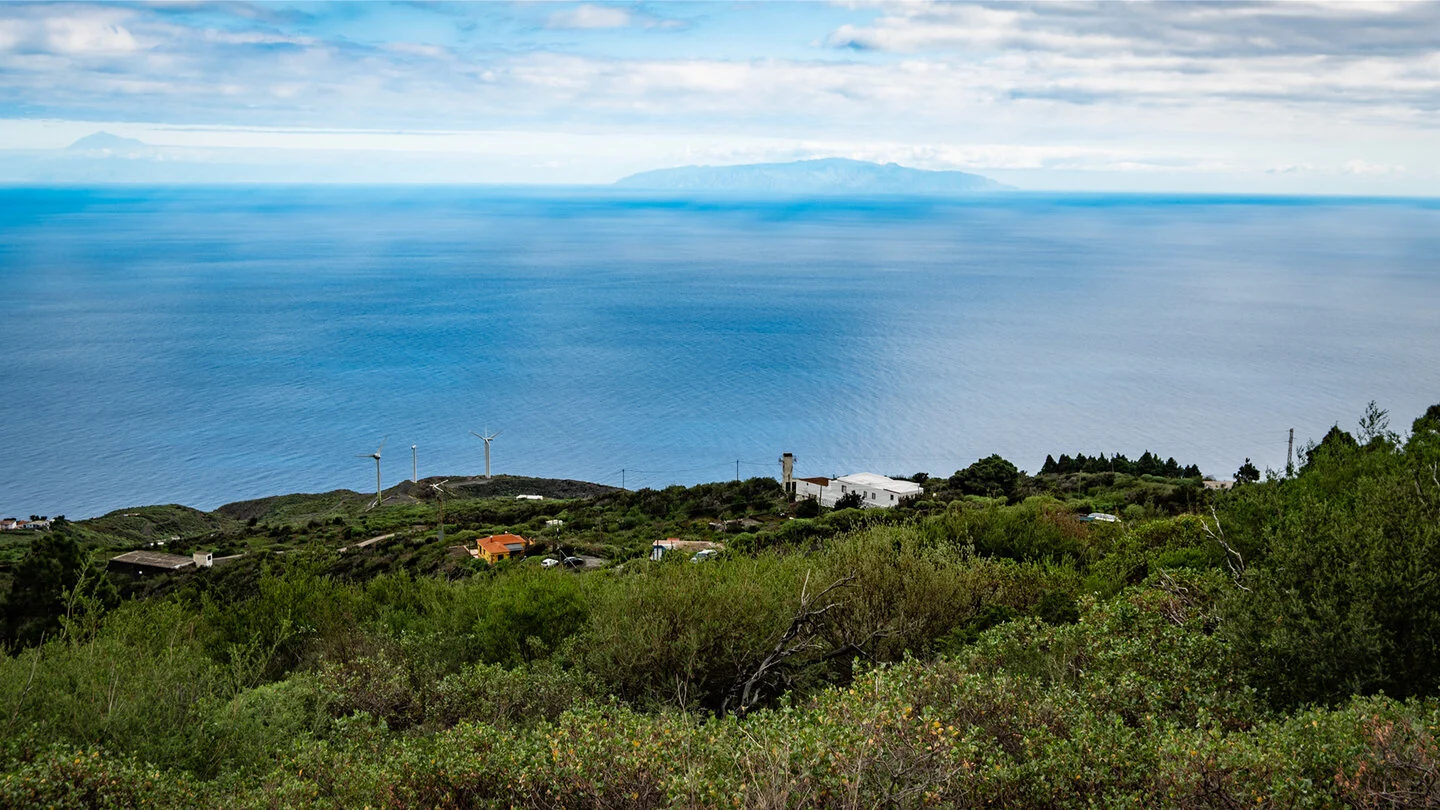
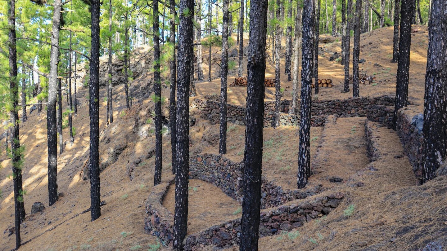
Stage seven of the GR-130 begins in Los Canarios, the main village of Fuencaliente, at about 820 metres. The historic Camino Real de la Costa y Medianías once encircled La Palma and connected villages, farms and cultivated land. Beyond the village, farm tracks, Canary pines and dark volcanic ground alternate immediately. The Atlantic repeatedly appears as a blue horizon above the south-eastern coast.
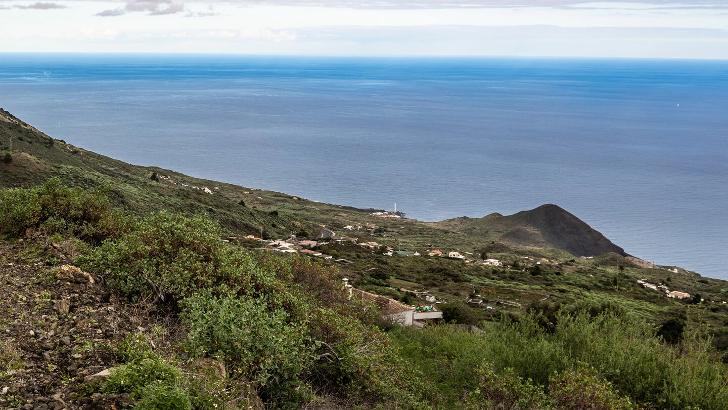
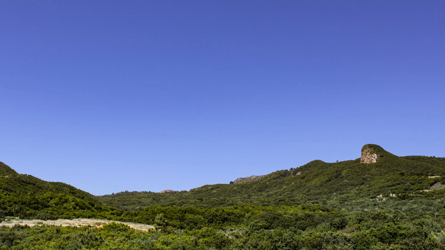
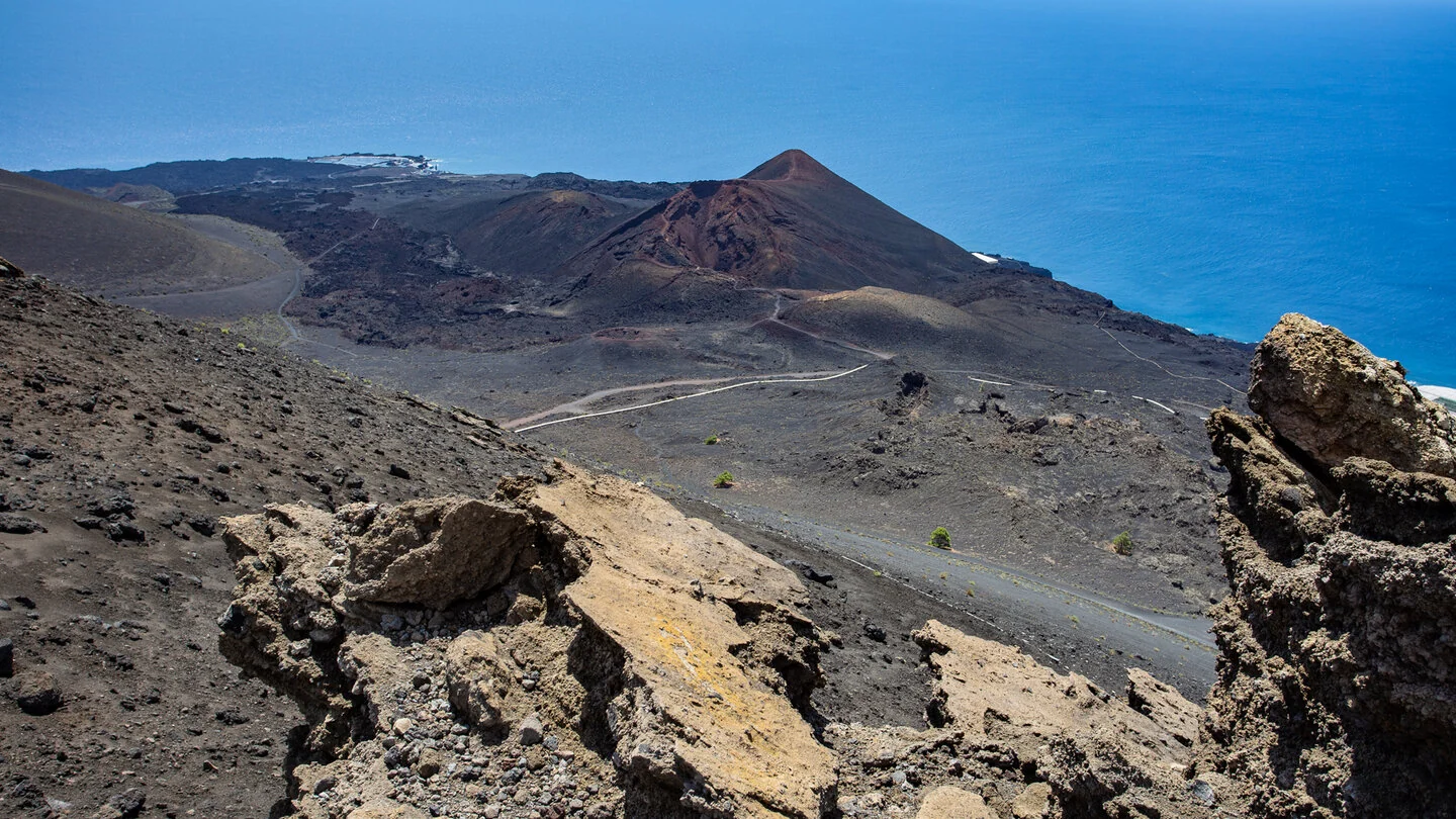
The route curves around the southern flank of Cumbre Vieja Natural Park through scenery where natural history and human use are closely interwoven. Vineyards and small terraces lie beside ground that vegetation is only slowly reclaiming. At Plaza del Pino de la Virgen, the trail also touches a place of religious and cultural importance. Such transitions make the stage less dramatic than a pure summit route, yet especially varied and authentic.
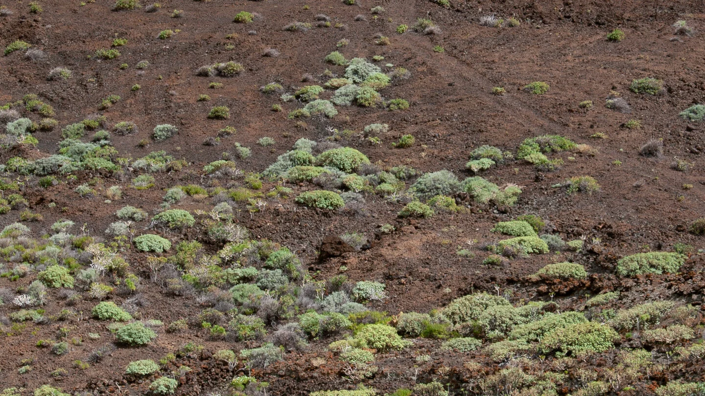
The historic lava flows of Martín de Tigalate from 1646 form a scenic highlight. Lichens, aeoniums, ferns and plants of the tabaibal-cardonal zone colonise the dark rock, clearly showing how life develops on volcanic ground. Pine trees, vineyards and small fields later return. In clear weather, views towards La Gomera and Tenerife and across the coast of Tigalate accompany several open sections.
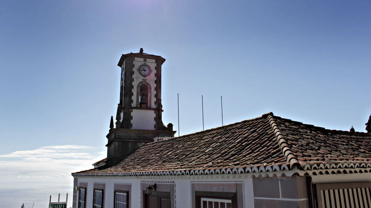
The trail approaches its destination through Tigalate, along Camino Viejo and across Barranco de San Simón. The Montaña de las Toscas recreation area forms a quiet finish a few kilometres before the centre of Villa de Mazo. Over 15.3 kilometres, the route climbs 255 metres and descends 612. GR-130 markings are generally easy to follow, although the length, changing surfaces and occasional road crossings still require fitness and attention.
As a point-to-point walk, the route requires coordinated return transport by bus, taxi or a second vehicle. The open lava and vineyard areas provide little shade, while trade-wind cloud farther north may bring cooler conditions. Carry sufficient water, food, sun protection and sturdy footwear. The exact route, full tour description, current advice, elevation profile and GPS data are available from our partner Sunhikes.
On Sunhikes you will find comprehensive information about the tour, including GPS track, interactive 3D view, elevation profile and a detailed description.
Open the German original
Ready for this hike?
Plan your hike with GPS track, interactive 3D view and all essential tour data for a safe and perfect hike on La Palma.
👉 Automatically translate the Sunhikes tourOpen the German original
Nearby hiking routes
Discover more hikes nearby on La Palma, from easy trails to challenging routes with spectacular views.

Holiday Homes & Accommodation near Los Canarios in Fuencaliente – Stay on La Palma
Selected holiday homes nearby – perfect for short distances, nature experiences and relaxing holidays on La Palma.


