
- Home
-
Point of Interest
MunicipalityCategory
 La Palma
La isla Bonita - Contact
- La Palma Blog

Pista de Valencia – Tamarahoya – Pico Bejenado


Hike overview

8h

Difficult

18,9 km

↑ 1139 m ↓ 1139 m
An insight into the hike:
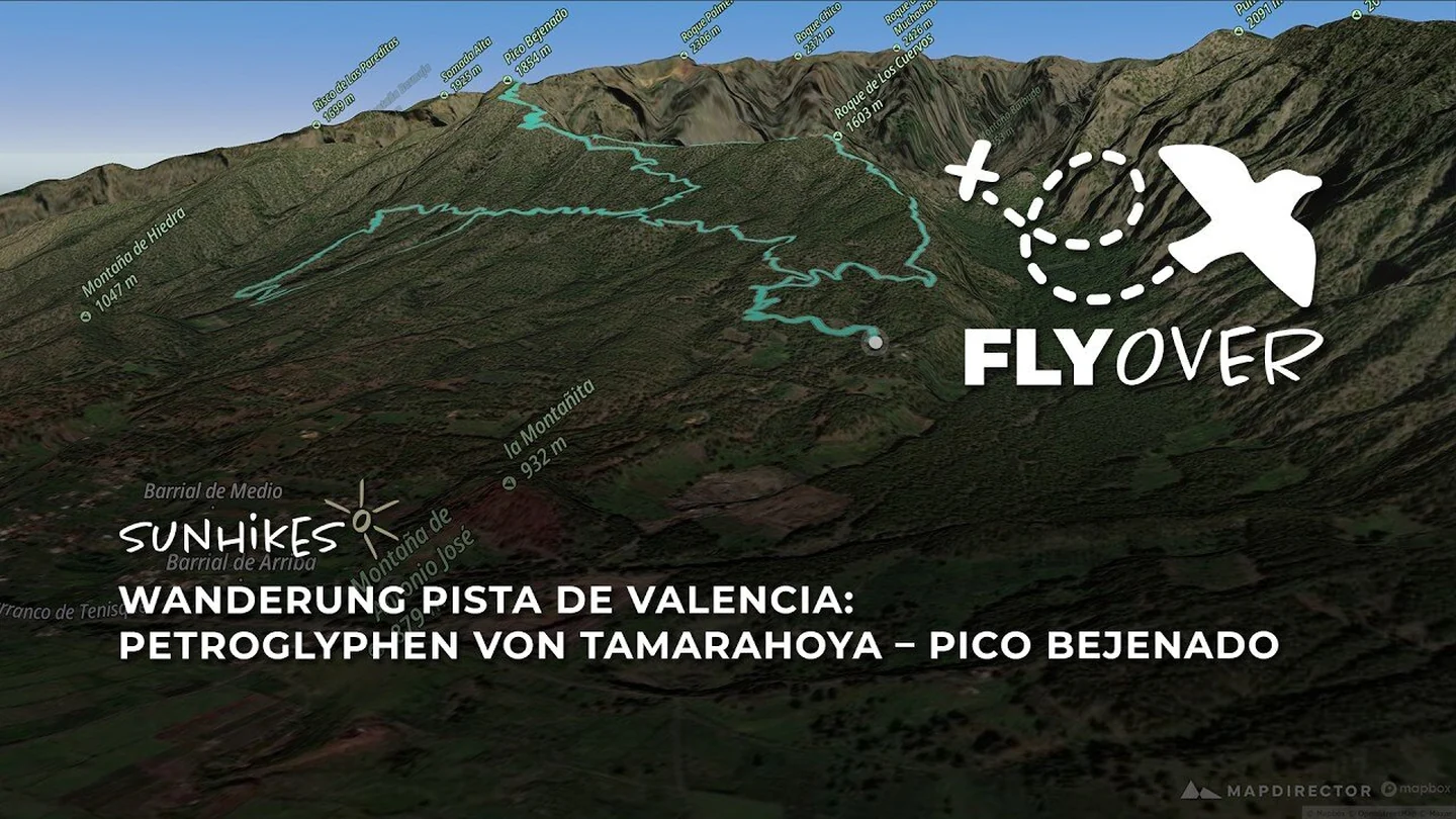
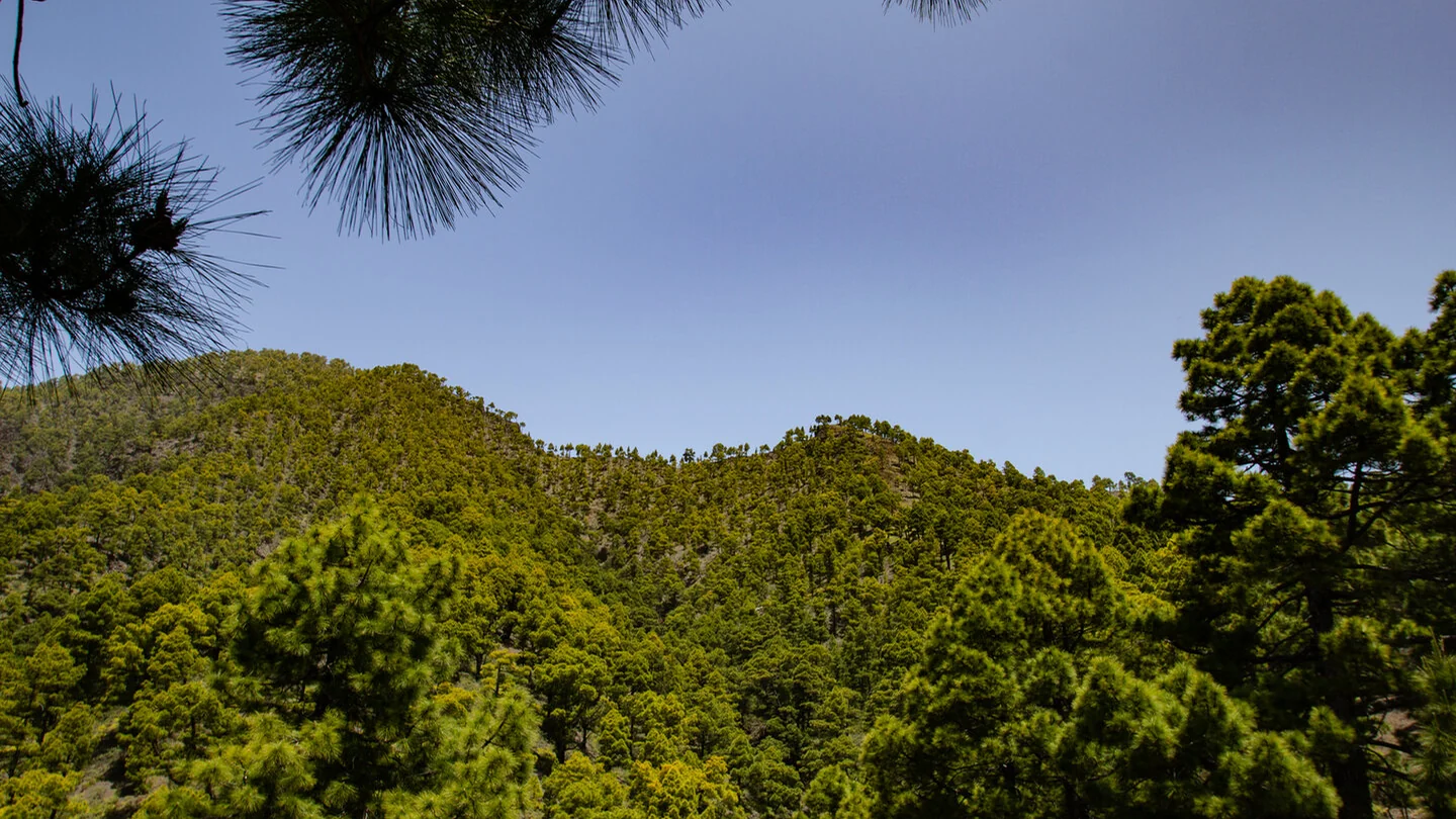
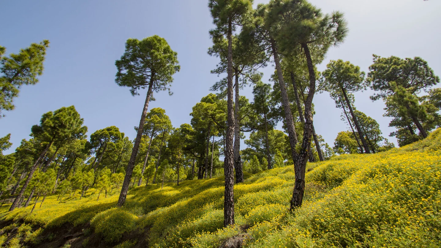
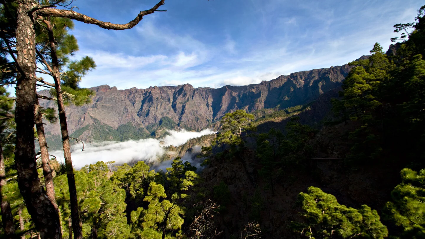
From Pista de Valencia, this long mountain hike begins in quiet Canary pine forest. A worthwhile detour reaches the protected Tamarahoya petroglyphs before PR LP 13.3 gains further height via El Rodeo. As the trail climbs, deep views open into Caldera de Taburiente, towards La Cumbrecita and down Barranco de las Angustias.
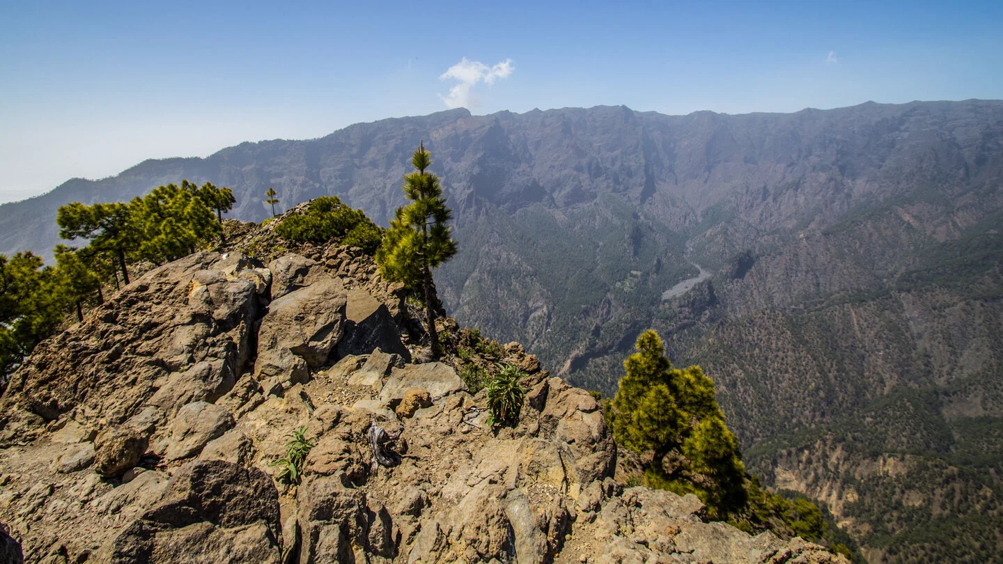
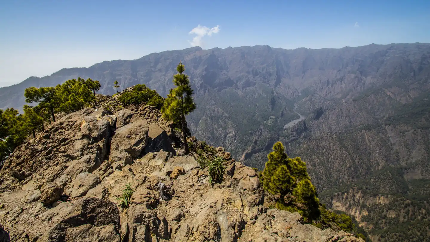
At 1,854 metres, Pico Bejenado forms a grandstand between the Caldera and Valle de Aridane. In clear air the summit outlook extends along the volcanic ridges and even to neighbouring islands. The continuing route passes Roque de los Cuervos and follows forest tracks back towards Pista de Valencia.
The 18.9 kilometres, 1,139 metres of climbing and up to eight hours make this a hard route. Long ascents, loose needles and stones, and the sun-exposed summit zone require fitness and concentration. Cloud can quickly affect both navigation and the quality of the views.
The line returns towards the starting area by a different route; check exact logistics against the Sunhikes track. A dry, clear day and early departure give the best experience. Sunhikes also marks the petroglyph detour and every forest-road transition.
On Sunhikes you will find comprehensive information about the tour, including GPS track, interactive 3D view, elevation profile and a detailed description.
Open the German original
Ready for this hike?
Plan your hike with GPS track, interactive 3D view and all essential tour data for a safe and perfect hike on La Palma.
👉 Automatically translate the Sunhikes tourOpen the German original
Nearby hiking routes
Discover more hikes nearby on La Palma, from easy trails to challenging routes with spectacular views.
Holiday Homes & Accommodation near Pista de Valencia – Stay on La Palma
Selected holiday homes nearby – perfect for short distances, nature experiences and relaxing holidays on La Palma.


