
- Home
-
Point of Interest
MunicipalityCategory
 La Palma
La isla Bonita - Contact
- La Palma Blog

Camino de Gordian from Virgen del Pino to La Cumbrecita

Hike overview

3h 15min

Moderate

7,0 km

↑ 568 m ↓ 177 m
An insight into the hike:
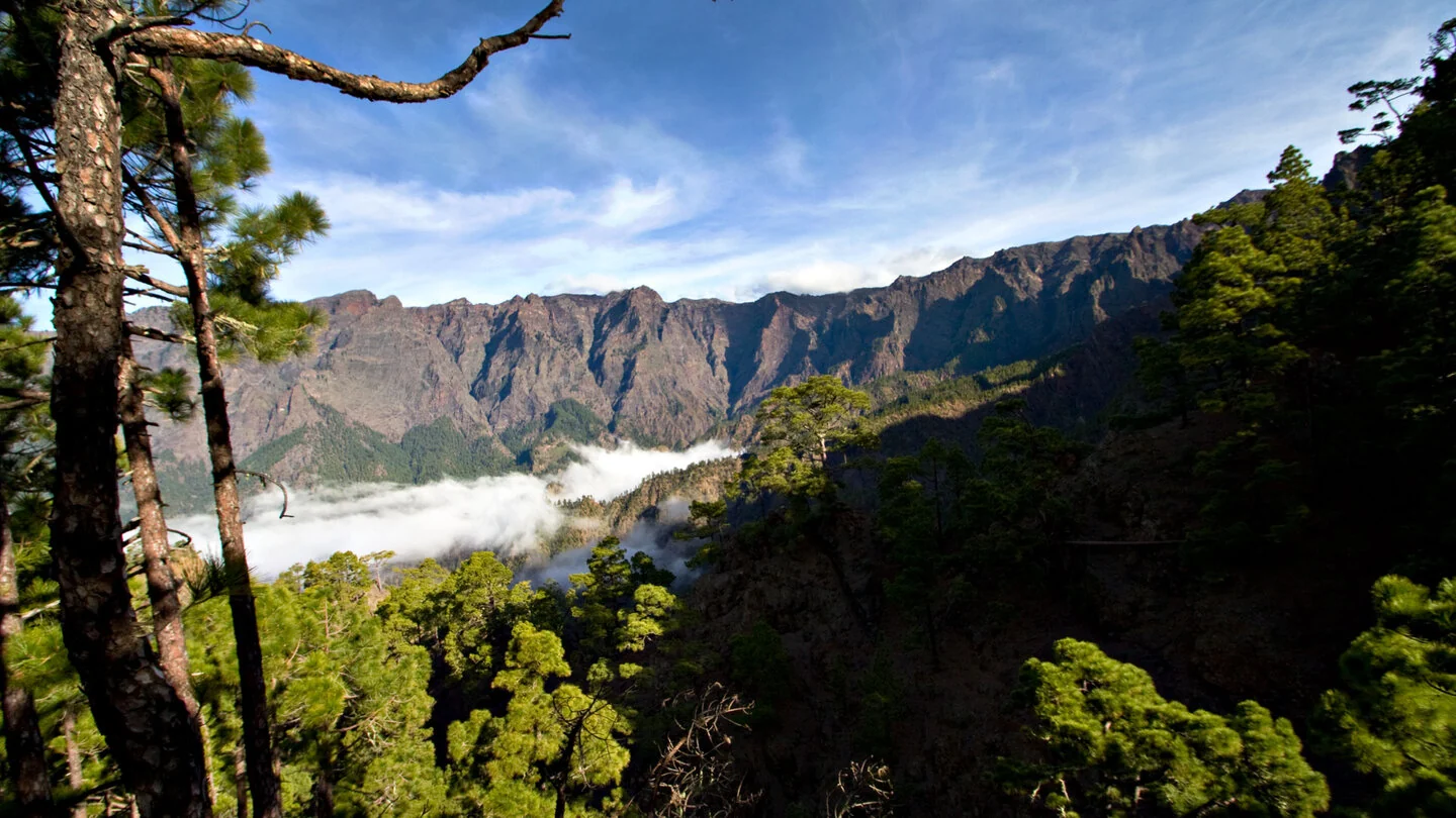
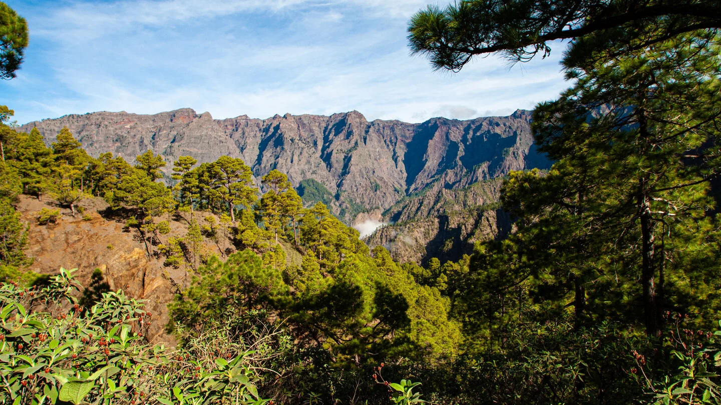
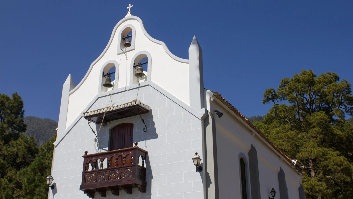
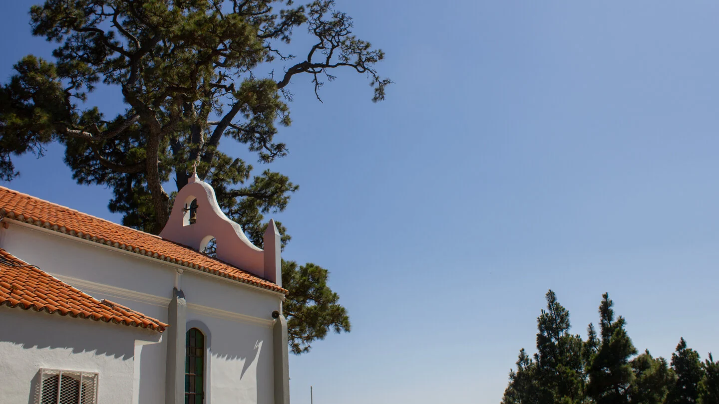
Camino de Gordian begins at the Ermita de la Virgen del Pino, a small pilgrimage chapel beneath an impressive old pine. From there, the route climbs on the PR-LP 1 into the open forest of the Riachuelo valley. The cultivated surroundings of El Paso soon fall behind as the trail enters a quiet mountain landscape. Pine needles, lava rock and ferns frame occasional views towards Cumbre Nueva.
The route alternates between narrow woodland paths and peaceful forestry tracks. It crosses several ravines, including Barranco Juan Caitana, and passes historic water galleries such as Galería Única. These tunnels reflect the effort made over generations to access water stored within La Palma’s porous volcanic rock. The trail remains close to nature and feels pleasantly secluded away from the better-known viewpoints.
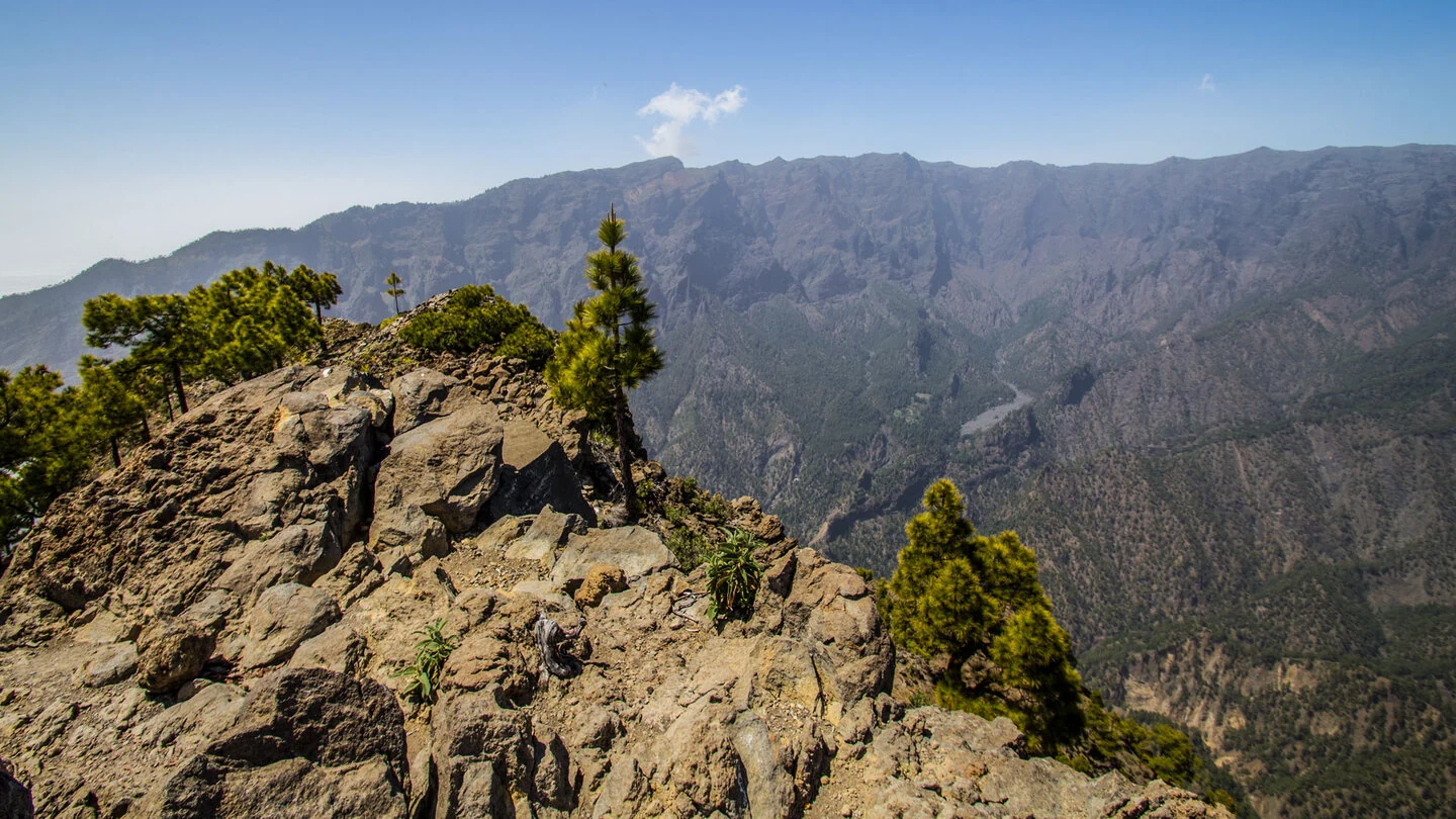
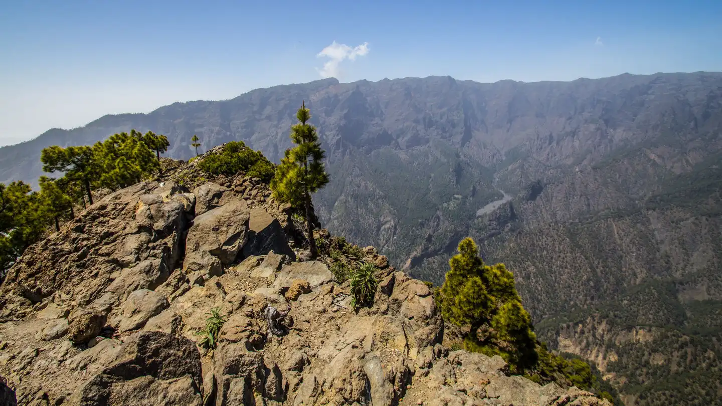
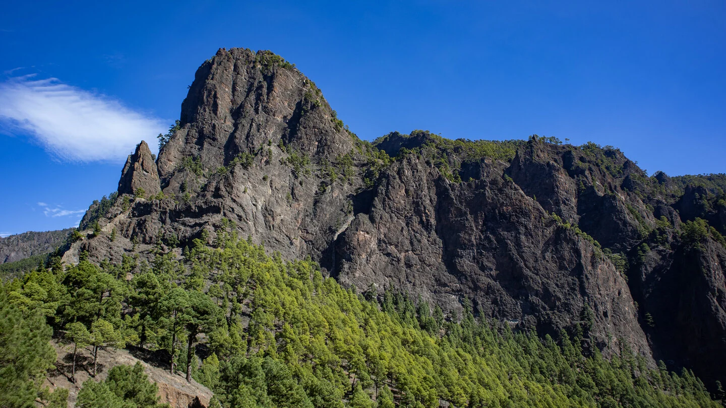
As altitude increases, the distinctive slopes of Pico Corralejo and later Pico Bejenado come into view. Shortly before La Cumbrecita, the landscape opens and reveals the first glimpses into Caldera de Taburiente. The finish is at one of the national park’s best-known access points, yet arriving via Camino de Gordian offers a much quieter perspective. The contrast between sheltered forest and the dramatic rock scenery at the end is especially appealing.
The seven-kilometre route includes 568 metres of ascent and relatively little descent. Several narrow or steeper passages require sure-footedness, and walkers uncomfortable with exposed terrain should also have a good head for heights. Forest surfaces can be slippery after damp weather. Calima and extreme heat make the route unsuitable because of physical strain and increased wildfire risk.
As start and finish are in different places, arrange the return journey in advance, for example by taxi. Retracing the same route is possible but substantially increases both distance and elevation. There are no refreshments along the way, so carry water, food and suitable weather protection. The exact route, full tour description, current advice, elevation profile and GPS data are available from our partner Sunhikes.
On Sunhikes you will find comprehensive information about the tour, including GPS track, interactive 3D view, elevation profile and a detailed description.
Open the German original
Ready for this hike?
Plan your hike with GPS track, interactive 3D view and all essential tour data for a safe and perfect hike on La Palma.
👉 Automatically translate the Sunhikes tourOpen the German original
Nearby hiking routes
Discover more hikes nearby on La Palma, from easy trails to challenging routes with spectacular views.

Holiday Homes & Accommodation near Ermita de la Virgen del Pino – Stay on La Palma
Selected holiday homes nearby – perfect for short distances, nature experiences and relaxing holidays on La Palma.


