
- Home
-
Point of Interest
MunicipalityCategory
 La Palma
La isla Bonita - Contact
- La Palma Blog

From La Cumbrecita to Mirador del Morro de los Gatos


Hike overview

3h 15min

Moderate

7,1 km

↑ 771 m ↓ 771 m
An insight into the hike:
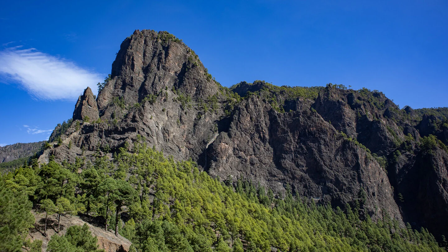
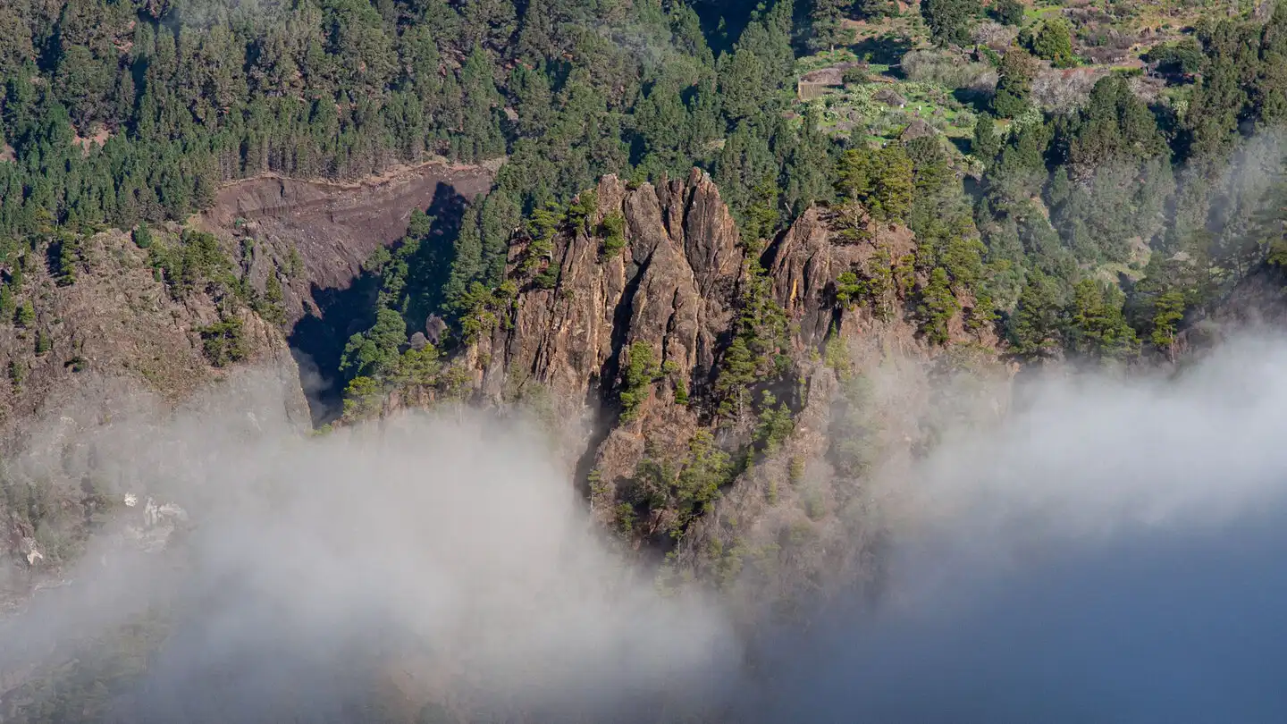
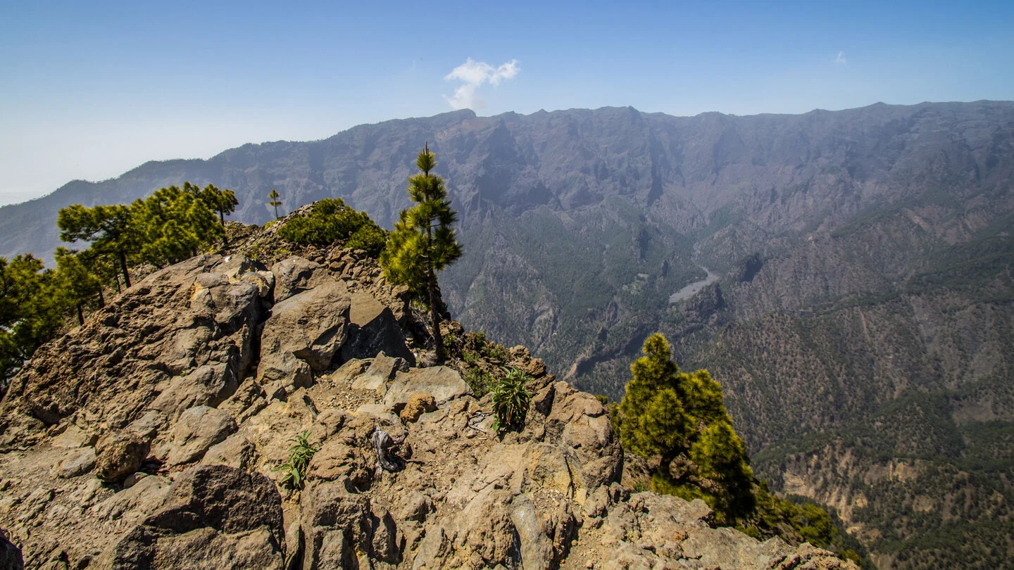
The hike starts at Mirador de La Cumbrecita, one of the most impressive gateways to the Caldera de Taburiente. From La Cancelita, a track first leads to Lomo de las Chozas viewpoint. Here the route leaves the familiar short circuit and enters the flank of Pico Bejenado on a narrower path. The perspective constantly changes between wooded slopes, pale rock walls and the deep basin of the national park.
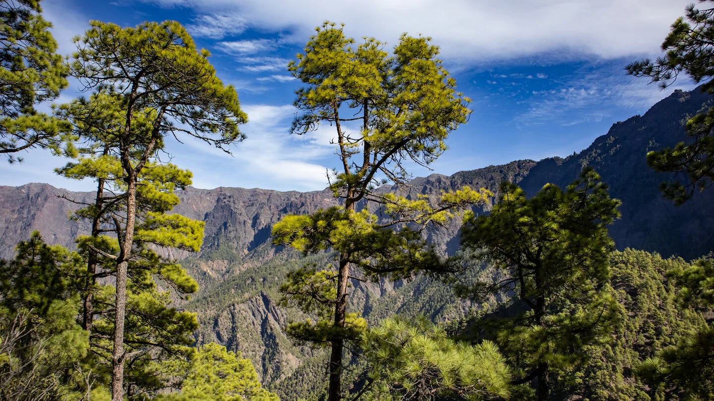
Several side ravines are crossed on small bridges, including Barranco de Madera García and Barranco de Huanauao. These passages give the walk its wild character. Canary pines, watercourses and rocky cuts lie close together, while openings reveal Roque de la Zarza, Playa de Taburiente and the northern caldera walls. Although the line is generally understandable, the narrow mountain path requires sure-footedness and a head for heights.
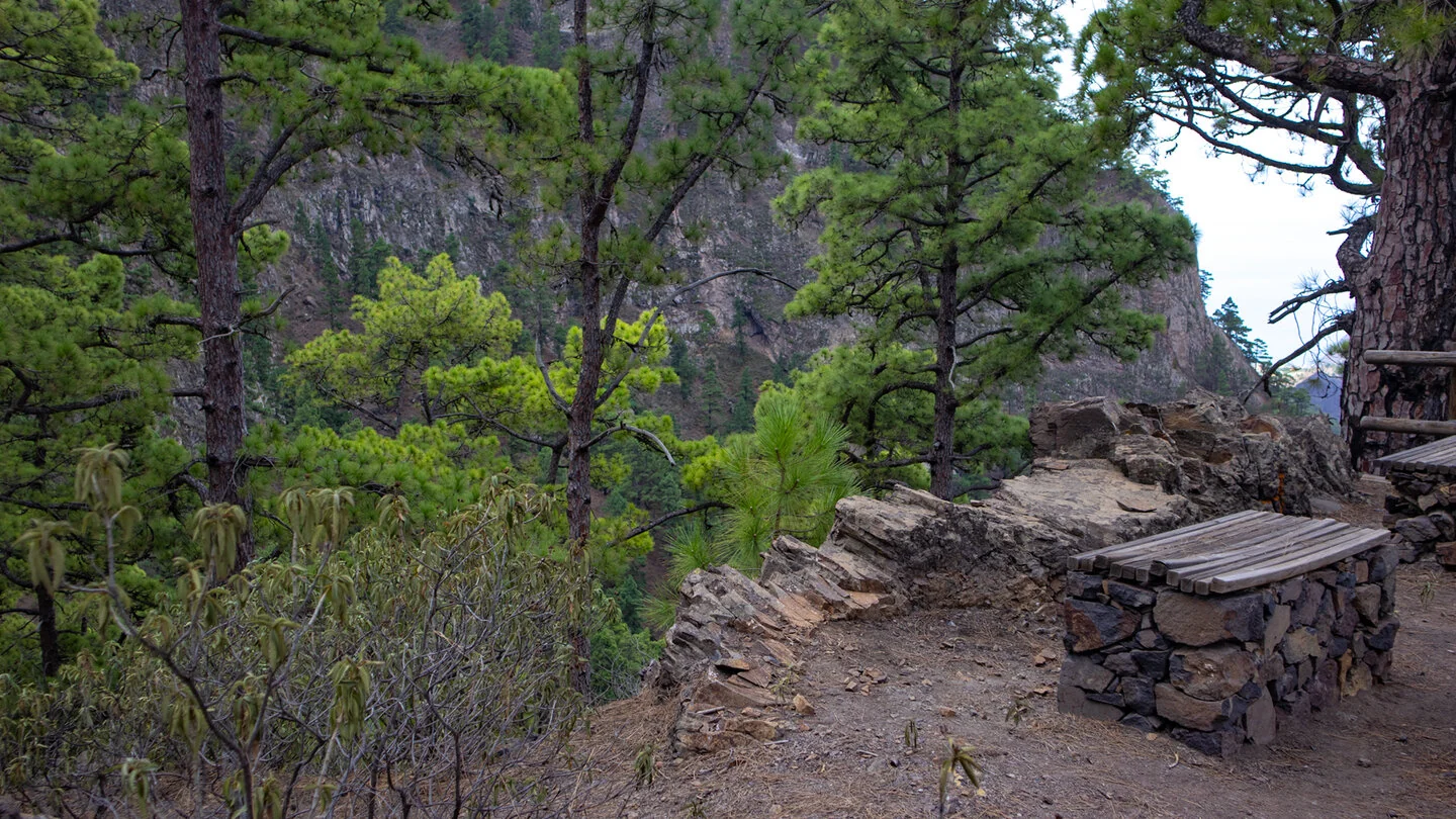
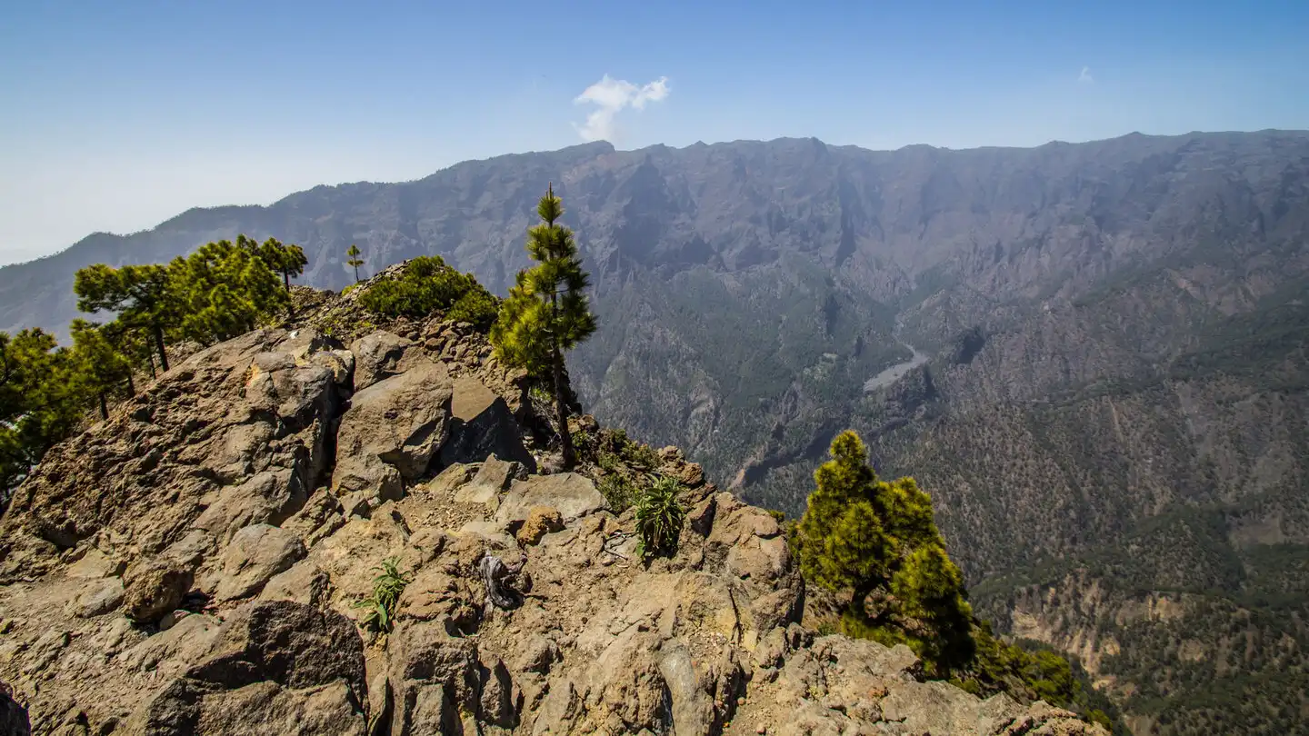
Passing Fuente de la Zarza and Fuente de las Brujas, the route reaches Morro de los Gatos. A short descent leads to the rest area and viewpoint, whose position above the caldera feels especially quiet and remote. An optional detour climbs without a clear path onto a rocky spur and should only be attempted in secure conditions by experienced hikers. The authorised route ends beyond the official viewpoint; the closed continuation towards Cancelita must not be entered.
The return follows the same line, bringing the total to 7.1 kilometres with 771 metres of ascent and descent. The walk is therefore far more strenuous than its distance suggests. Access to La Cumbrecita normally requires an advance parking reservation or compliance with the national park’s current transport rules.
Planning should consider not only distance but also the elevation profile, surface and weather. On La Palma, sunshine, wind, trade-wind cloud and brief showers can change within only a few kilometres. Carry sufficient water, a snack, sturdy footwear and protection from sun and rain even when conditions are good at the start. Check current trail closures and information from the protected areas before departure. For point-to-point routes, organise the return by taxi, bus or a second vehicle in advance. The exact route, full tour description, current advice, elevation profile and GPS data are available from our partner Sunhikes.
On Sunhikes you will find comprehensive information about the tour, including GPS track, interactive 3D view, elevation profile and a detailed description.
Open the German original
Ready for this hike?
Plan your hike with GPS track, interactive 3D view and all essential tour data for a safe and perfect hike on La Palma.
👉 Automatically translate the Sunhikes tourOpen the German original
Nearby hiking routes
Discover more hikes nearby on La Palma, from easy trails to challenging routes with spectacular views.

Holiday Homes & Accommodation near Mirador de La Cumbrecita – Stay on La Palma
Selected holiday homes nearby – perfect for short distances, nature experiences and relaxing holidays on La Palma.


