
- Home
-
Point of Interest
MunicipalityCategory
 La Palma
La isla Bonita - Contact
- La Palma Blog

Circular hike over Pico Bejenado and Roque de los Cuervos
Hike overview

5h

Moderate

12,3 km

↑ 860 m ↓ 853 m
An insight into the hike:
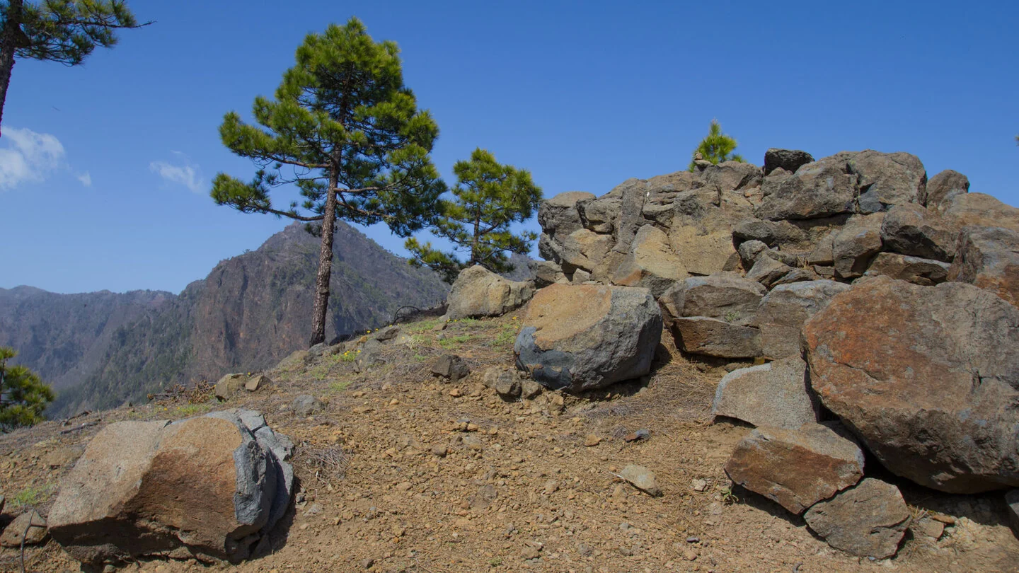
This circular route presents Pico Bejenado not only as a summit but as part of a long ridge above Caldera de Taburiente. It starts at the information board on Pista de Valencia and initially follows a broad forest track. Via Pista Ferrer, the route joins yellow-and-white PR LP 13.3. Open pine forest, rock roses and yellow bird’s-foot trefoil accompany the gentle opening.
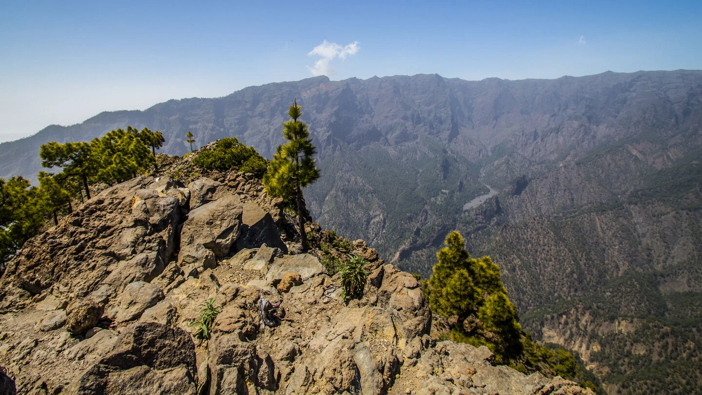
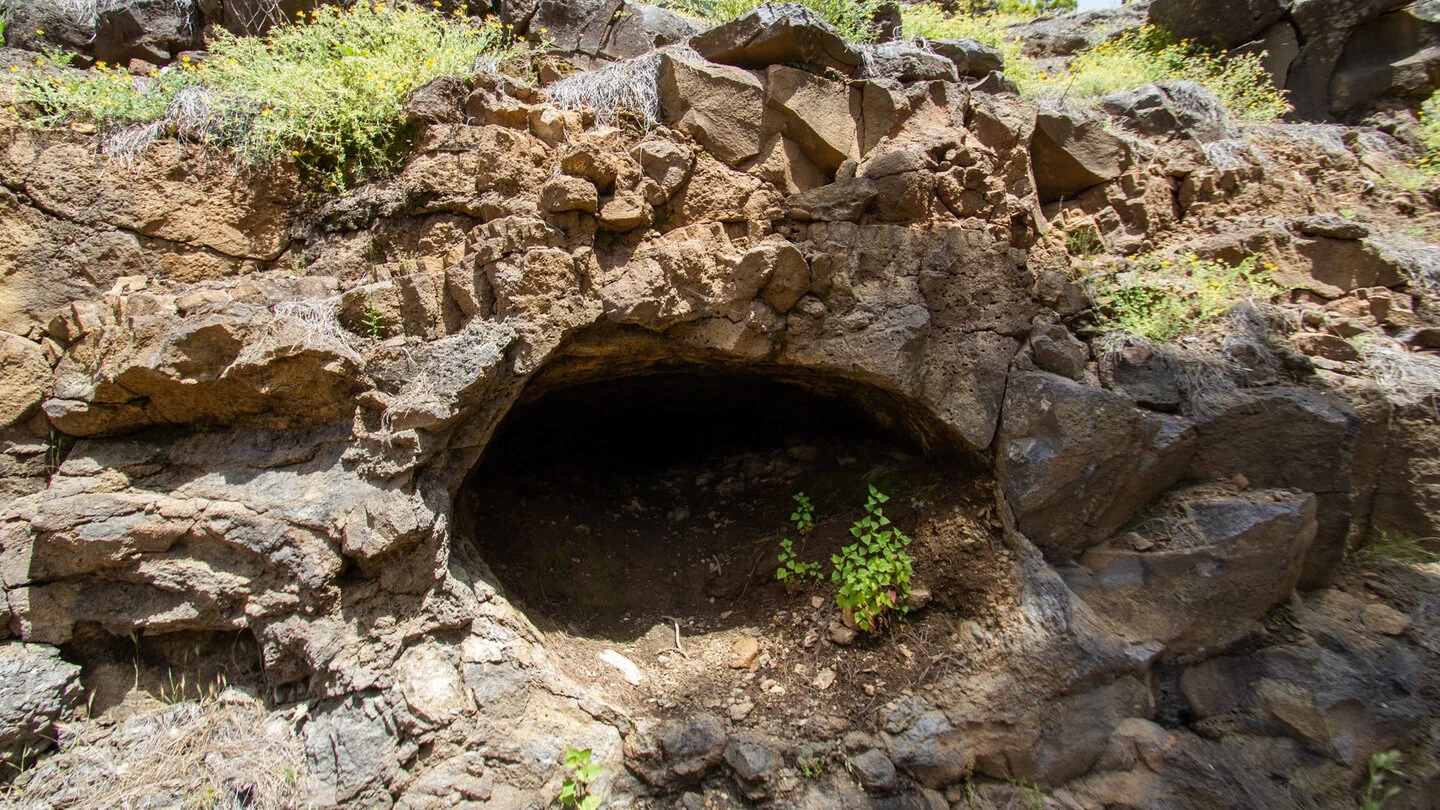
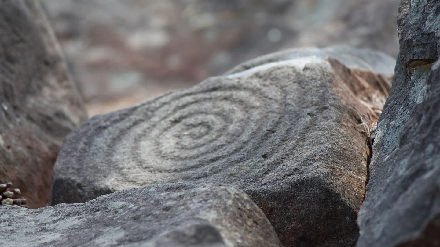
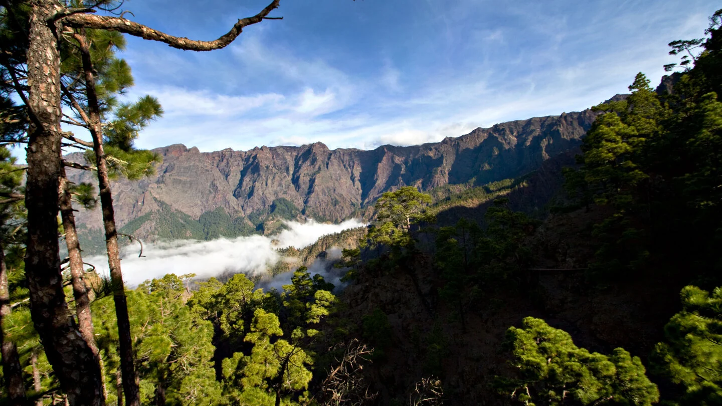
A volcanic tube lies directly beside the path. Soon afterwards, a detour of roughly 120 metres leads to the Lomo del Estrecho petroglyph site. The rock engravings add an important cultural dimension and must only be viewed, never touched or entered. Back on the main trail, bends climb to 1,585-metre El Rodeo, where broad views into the caldera appear for the first time.
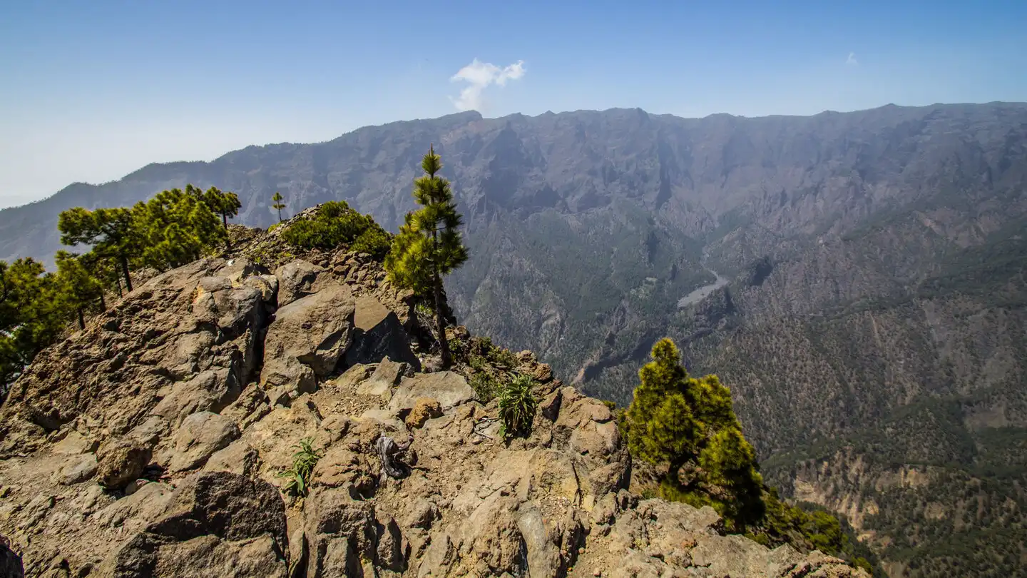
From El Rodeo, switchbacks gain another 269 metres to the isolated summit of Pico Bejenado. At 1,854 metres it is one of the finest viewpoints in the island’s interior: Roque de los Muchachos, Playa de Taburiente, Barranco de las Angustias and La Cumbrecita appear almost like a relief below. In clear air, El Hierro, La Gomera and Tenerife stand on the horizon. The summit lizards may seem tame but should never be fed.
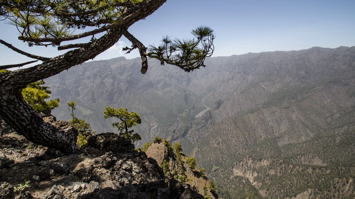
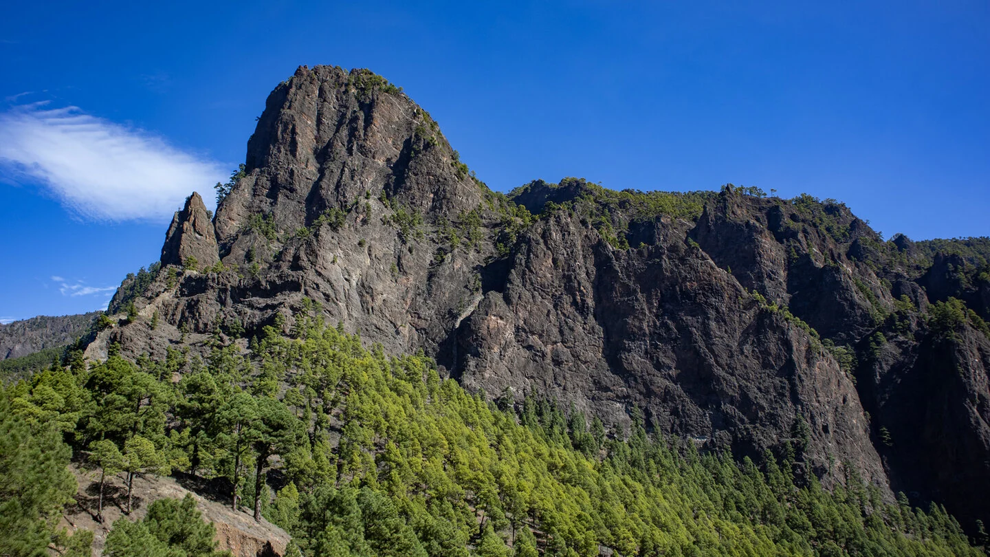
After returning to El Rodeo, the circuit continues along the high ridge. The narrow trail rises and falls close to the drop and reaches a short spur to 1,603-metre Roque de los Cuervos. From there, views extend to La Cumbrecita’s rock formations and Riachuelo valley. Numerous bends then descend to Pista Ferrer and the start on Pista de Valencia. The 12.3 kilometres include around 860 metres of ascent.
Compared with the direct summit path, this circuit asks for more stamina, navigation and concentration on the ridge. Cloud can remove visibility beside the drop very quickly; strong wind or rain reduce both enjoyment and safety margins. Check access on Pista de Valencia in advance. Sufficient water, sun protection and an early start leave time for the engravings and viewpoints. Sunhikes provides the current track and any protected-area requirements.
On Sunhikes you will find comprehensive information about the tour, including GPS track, interactive 3D view, elevation profile and a detailed description.
Open the German original
Ready for this hike?
Plan your hike with GPS track, interactive 3D view and all essential tour data for a safe and perfect hike on La Palma.
👉 Automatically translate the Sunhikes tourOpen the German original
Nearby hiking routes
Discover more hikes nearby on La Palma, from easy trails to challenging routes with spectacular views.

Holiday Homes & Accommodation near Wandertafel an der Pista de Valencia – Stay on La Palma
Selected holiday homes nearby – perfect for short distances, nature experiences and relaxing holidays on La Palma.


