
- Home
-
Point of Interest
MunicipalityCategory
 La Palma
La isla Bonita - Contact
- La Palma Blog

From Pista Pico de la Nieve to Ermita Virgen del Pino
Hike overview

7h

Difficult

13,0 km

↑ 494 m ↓ 1609 m
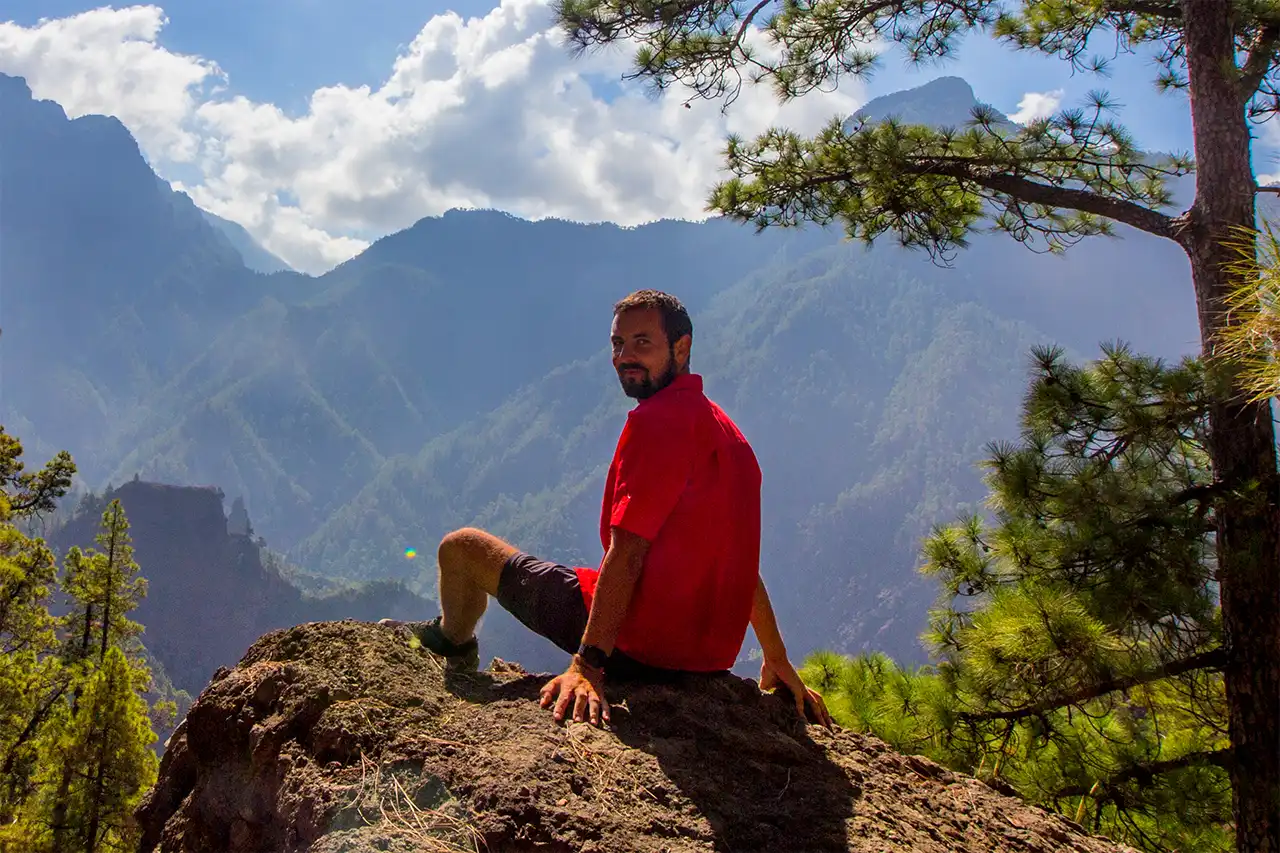
I used to do this hike whenever I had the opportunity to drive up to Roque de los Muchachos with someone else. This allowed me to leave my own car in El Paso beforehand and then comfortably hike downhill.
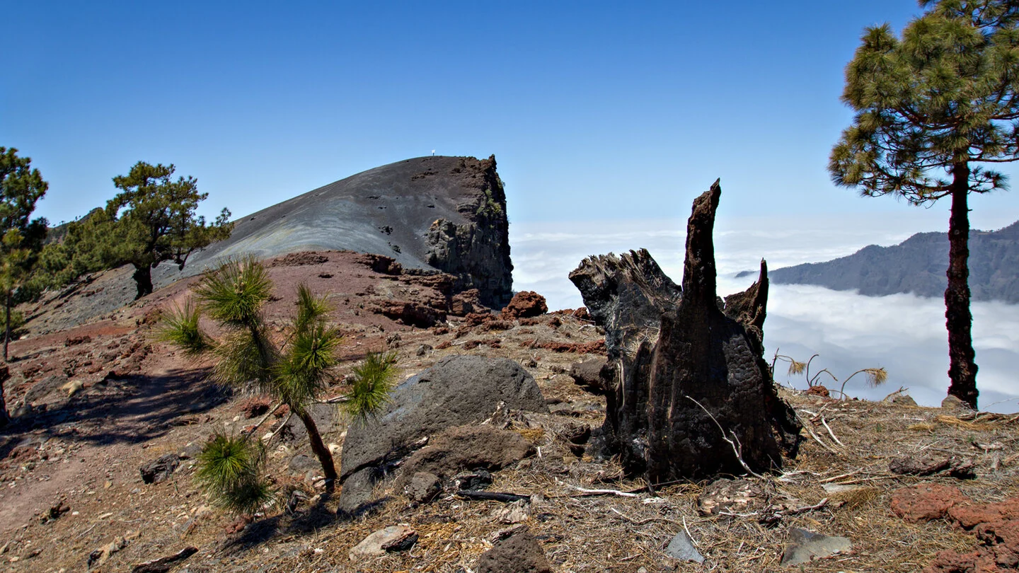
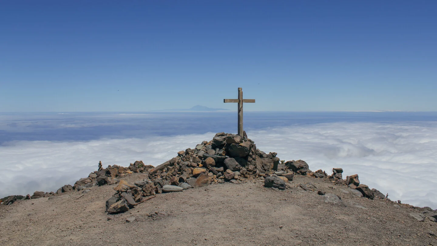
With a bit of luck, you can experience something very special along the way: a fantastic view of the clouds spilling over the mountain ridges like a waterfall.
It’s a truly beautiful and varied hike that I can highly recommend. There is just one thing to keep in mind: if you have problems with your knees when walking downhill for long periods, I would recommend choosing a different route, as the long descent can be quite demanding on the joints.
An insight into the hike:
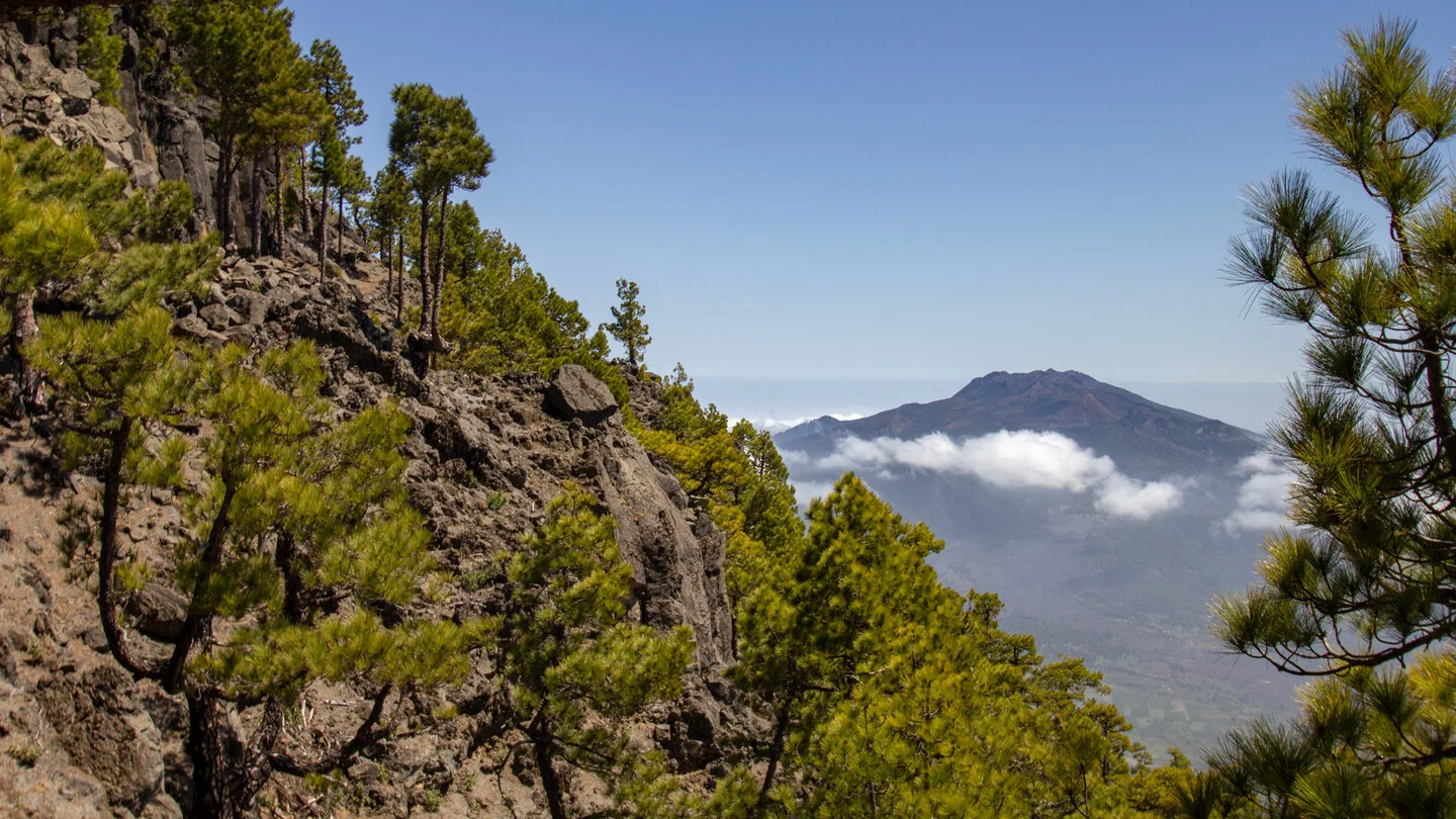
This substantial point-to-point hike starts at the end of Pista Pico de la Nieve and reaches the eastern main rim of the Caldera de Taburiente very quickly. The PR LP 3 initially climbs through fragrant pine forest. At Degollada del Barranco de la Madera, the view suddenly opens across the national park’s steep inner walls and deep ravines. In clear conditions, La Gomera and Tenerife can also appear on the horizon.
The route now follows the red-and-white GR 131 southwards, crossing Pico de la Veta and approaching Pico de la Sabina. Along the way lies the archaeological site Erita de los Guanches, with rock engravings made by the Benahoaritas, La Palma’s indigenous people. This quiet cultural site adds a historical dimension to the high-mountain landscape and deserves a particularly respectful visit.
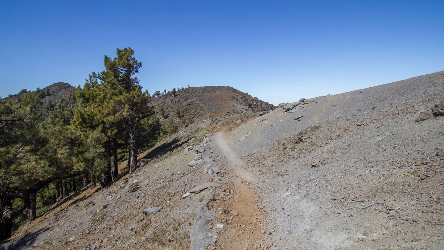
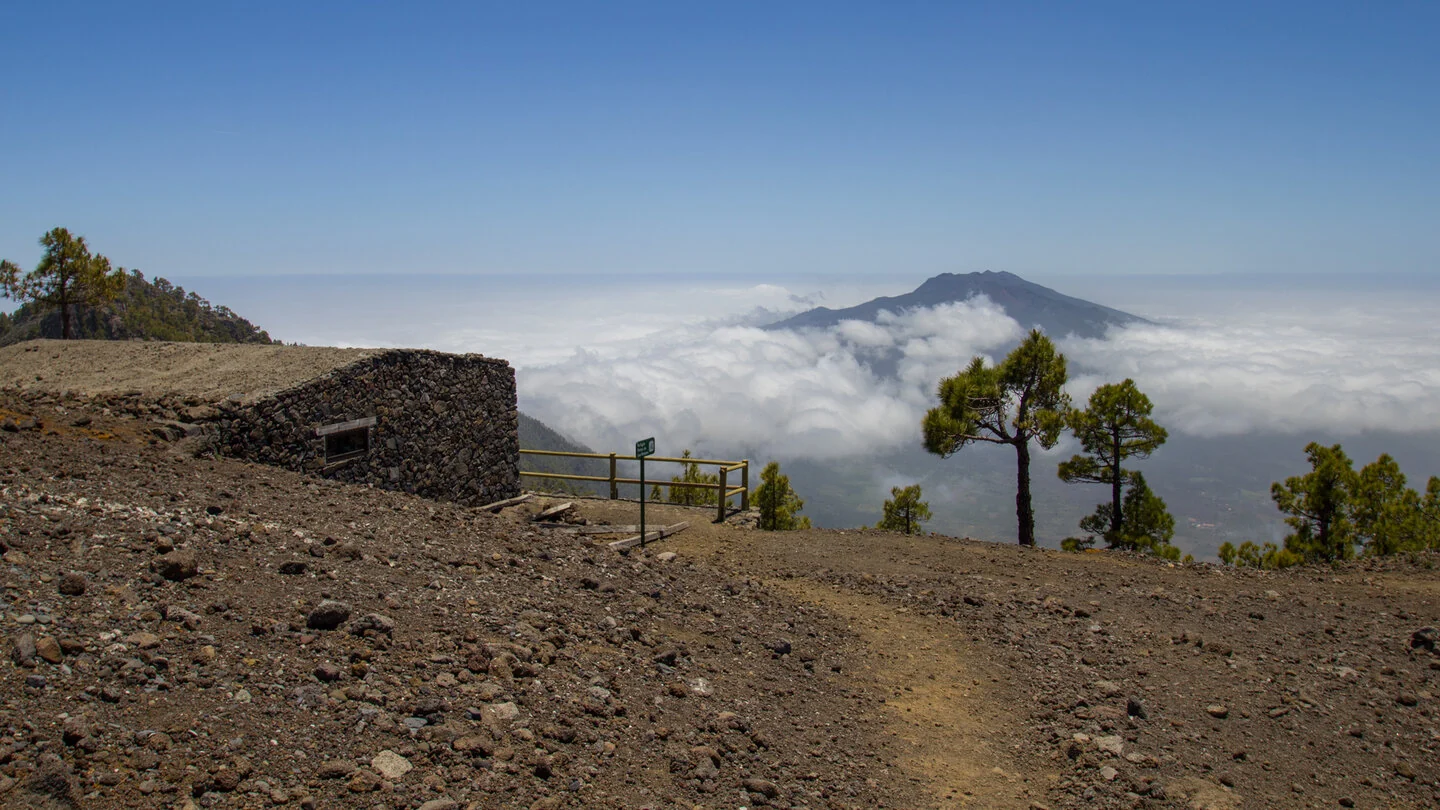
Beyond Pico de la Sabina, the narrow mountain path repeatedly changes between the eastern and western sides of the ridge. Black, red and yellowish rock layers, volcanic dykes and heavily eroded formations line the route. After exposed Degollada del Río, a strong counter-climb leads to Punta de los Roques at 2,085 metres. The basic Refugio Punta de los Roques stands nearby, while the panorama includes the caldera, Cumbrecita, Pico Bejenado, Cumbre Nueva and the volcanoes of Cumbre Vieja.
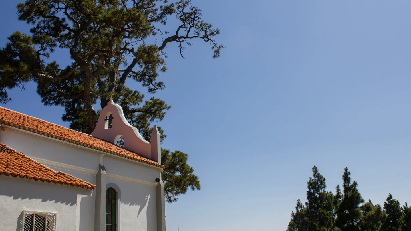
The constant rise and fall continues across Pico de Corralejo and Pico Ovejas before the long descent through open pine forest begins. At Reventón Pass, the route leaves the high ridge and follows the PR LP 1 down an old, partly rough-paved switchback path. The finish is Ermita Virgen del Pino beside a mighty Canary pine many centuries old. In total, the hike covers 13 kilometres, 494 metres of ascent and about 1,609 metres of descent.
Sure-footedness, a head for heights and very good fitness are required for the steep and partly exposed sections. The point-to-point route also needs clear logistics: leaving the car at the chapel and taking a taxi to the start is recommended. Wind, sun and cold can alternate rapidly on the ridge; ample water, food and protective clothing are essential. The exact route, full tour description, current advice, elevation profile and GPS data are available from our partner Sunhikes.
On Sunhikes you will find comprehensive information about the tour, including GPS track, interactive 3D view, elevation profile and a detailed description.
Open the German original
Ready for this hike?
Plan your hike with GPS track, interactive 3D view and all essential tour data for a safe and perfect hike on La Palma.
👉 Automatically translate the Sunhikes tourOpen the German original
Nearby hiking routes
Discover more hikes nearby on La Palma, from easy trails to challenging routes with spectacular views.
Holiday Homes & Accommodation near Parkplatz an der Pista Pico de la Nieve – Stay on La Palma
Selected holiday homes nearby – perfect for short distances, nature experiences and relaxing holidays on La Palma.


