
- Home
-
Point of Interest
MunicipalityCategory
 La Palma
La isla Bonita - Contact
- La Palma Blog

High-level hike from Pico de la Nieve to Pico de la Cruz

Hike overview

6h

Moderate

13,9 km

↑ 701 m ↓ 699 m
An insight into the hike:
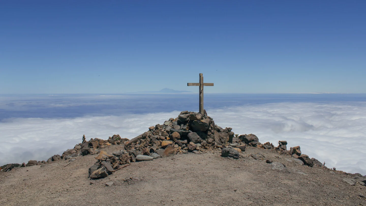
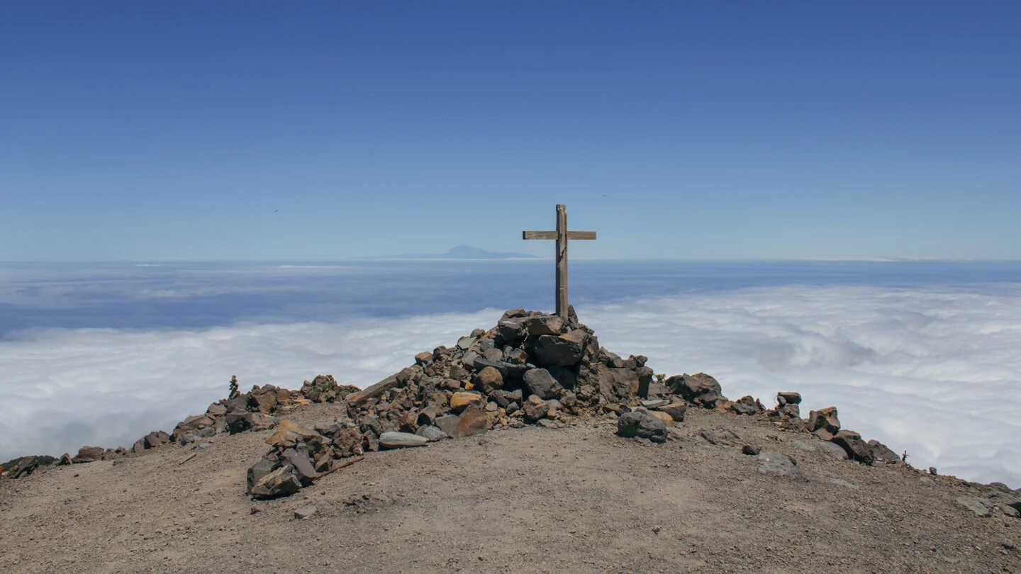
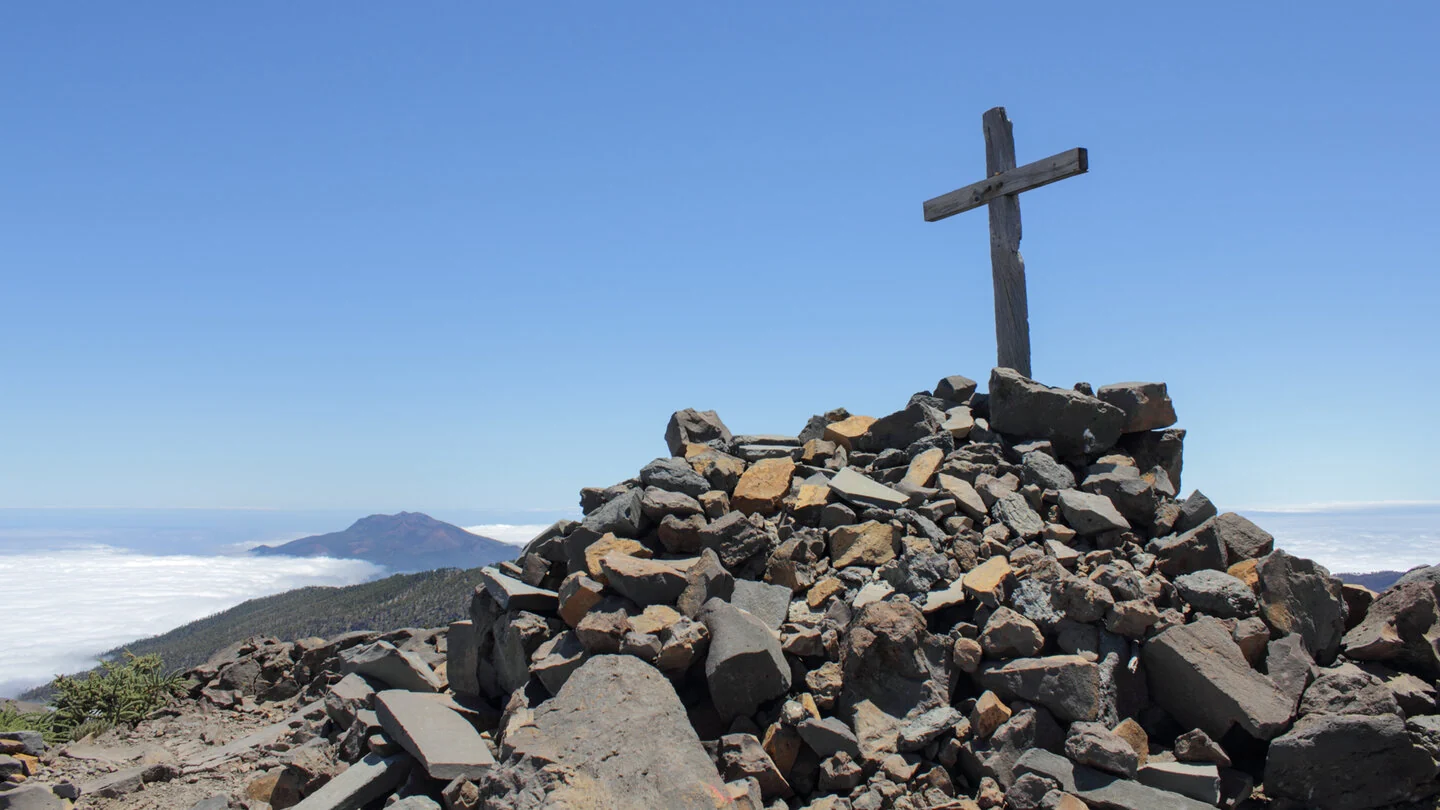
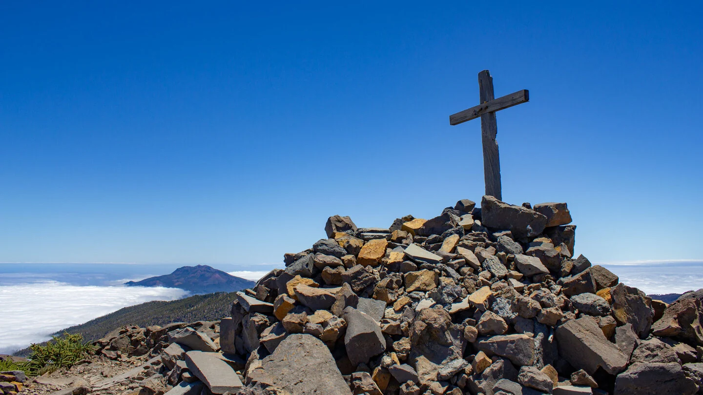
This panoramic high-level hike starts beside the LP-4 shortly before kilometre 25, where a track branches towards Pico de la Nieve. The approach first climbs through open Canary pine forest and quickly gains altitude. With every step, the view widens across eastern La Palma and the trade-wind cloud layer. At Pico de la Nieve, the route reaches the rim of the immense Caldera de Taburiente.
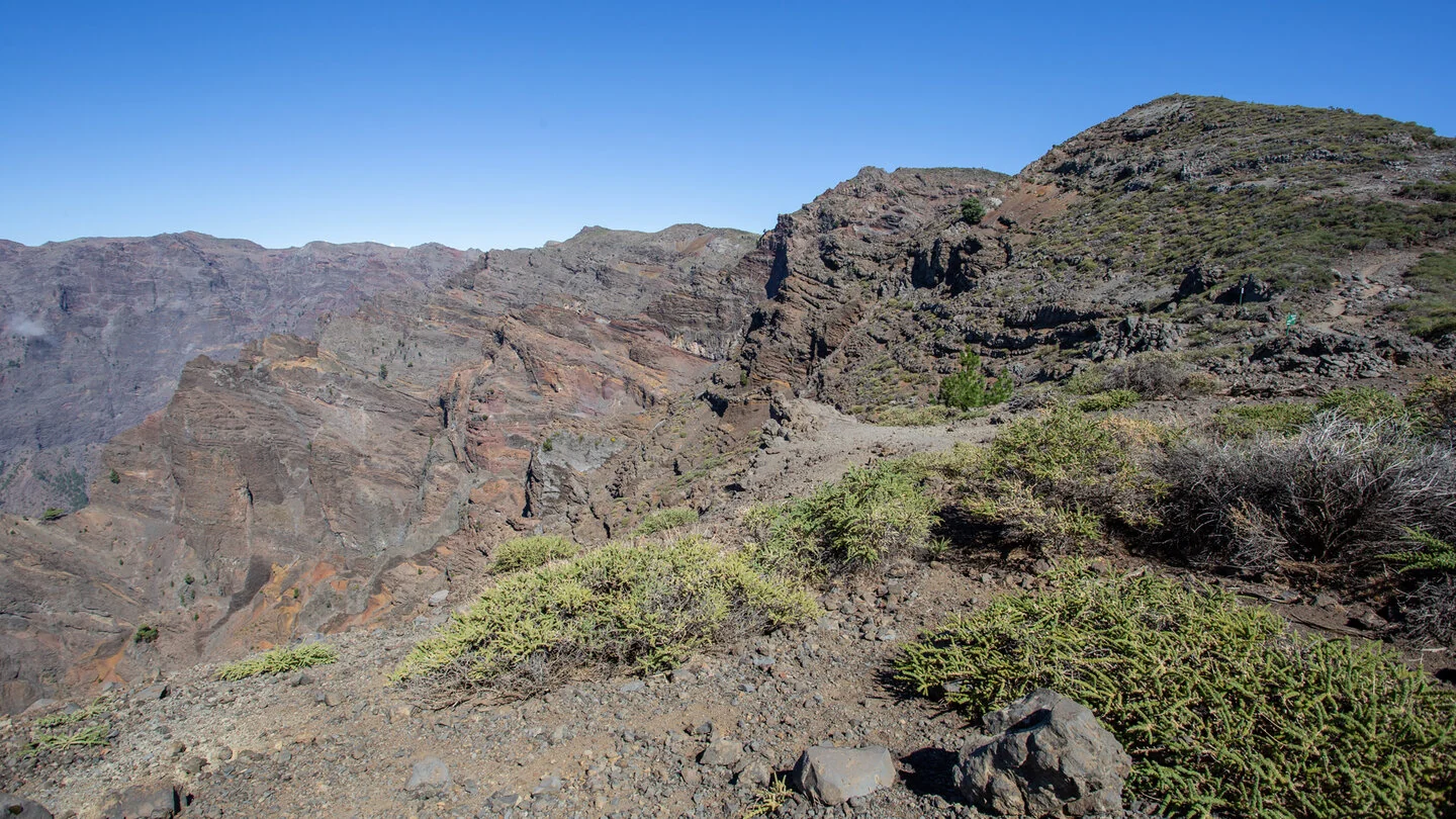
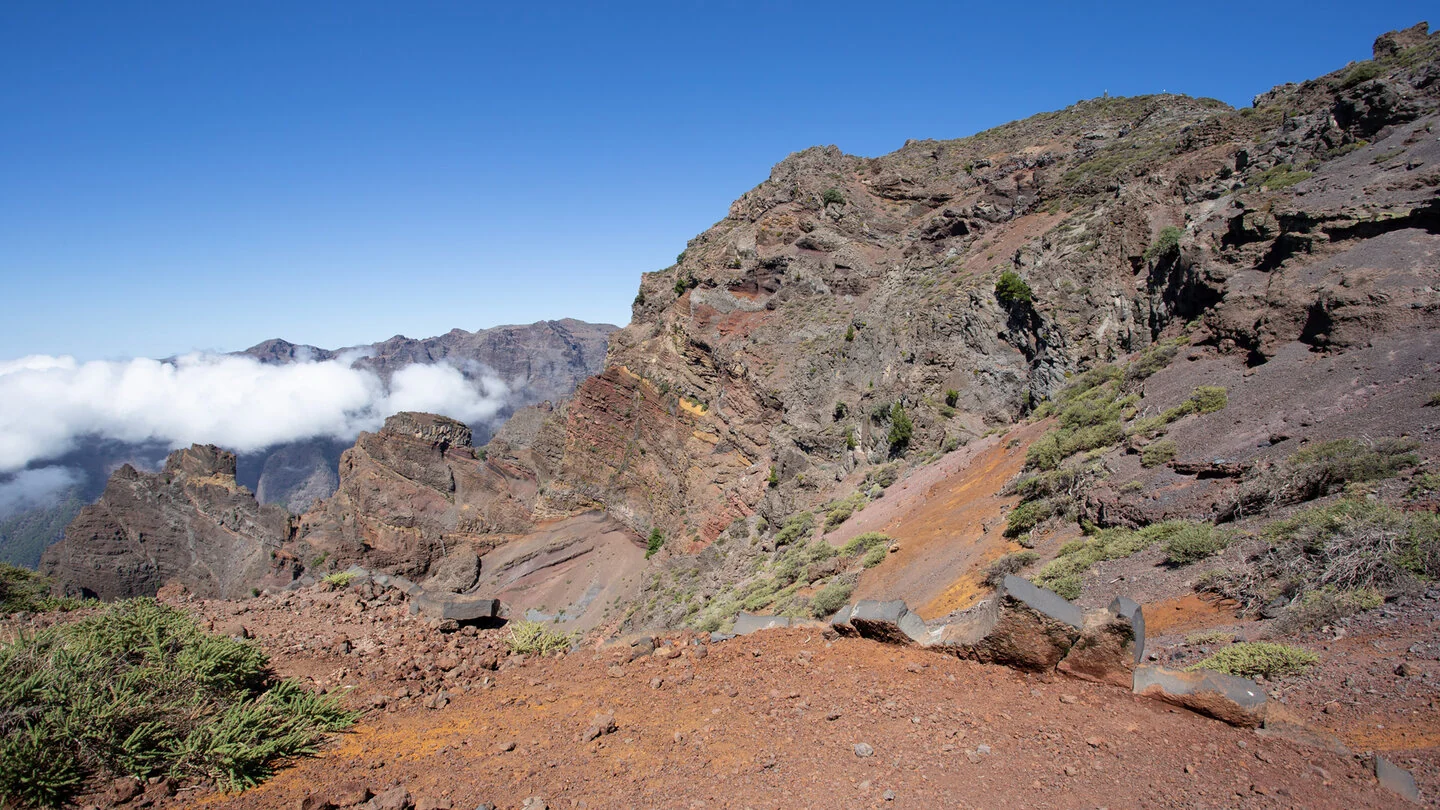
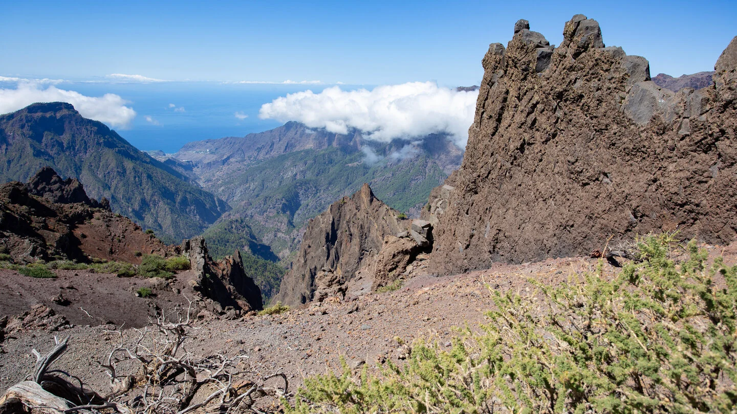
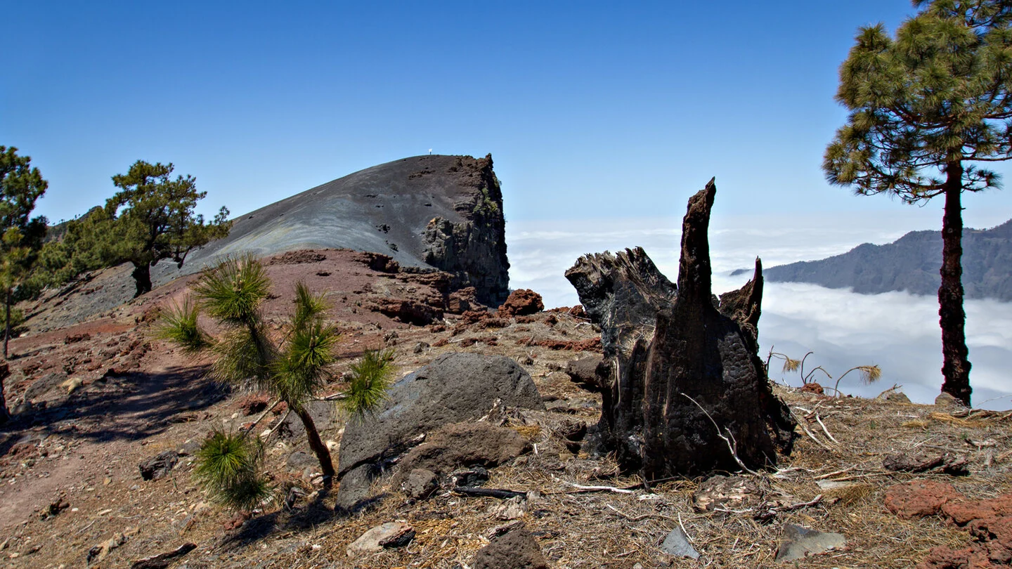
The trail now follows the GR-131 along a spectacular ridge towards Pico de la Cruz. It passes Pico del Cedro and Pico de Piedrallana, linking stony summits, natural viewpoints and orange-red areas of pyroclastic rock. Deep views into the Caldera alternate with panoramas across Cumbre Nueva and Cumbre Vieja. In clear air, Tenerife, La Gomera and El Hierro may even appear on the horizon.
Shortly before Pico de la Cruz, César Manrique’s metal sculpture “Infinitio” adds an unexpected cultural accent to the austere mountain scenery. Pico de la Cruz marks the turnaround point before the same ridge route is retraced. Walking in the opposite direction reveals many rock formations and crater slopes from a fresh perspective. This interplay of volcanic terrain, trade-wind clouds and the sharply defined Caldera rim gives the hike its distinctive character.
At 13.9 kilometres with about 700 metres of ascent, the walk requires good fitness, sure-footedness and sufficient time. The largely exposed ridge offers little shade and is vulnerable to sun, wind and rapid changes in weather. Clouds, low temperatures or poor visibility can occur at this altitude even when the coast is enjoying fine conditions. Sturdy footwear, an extra warm layer, sun and wind protection, plus ample water and food are therefore essential.
Only a few parking spaces are available near the LP-4 turn-off, so an early start is advisable. There are no refreshments or supplies along the route. Check the weather and current trail conditions before setting out, as both safety and the quality of the views depend heavily on clear, calm conditions. The exact route, full tour description, current advice, elevation profile and GPS data are available from our partner Sunhikes.
On Sunhikes you will find comprehensive information about the tour, including GPS track, interactive 3D view, elevation profile and a detailed description.
Open the German original
Ready for this hike?
Plan your hike with GPS track, interactive 3D view and all essential tour data for a safe and perfect hike on La Palma.
👉 Automatically translate the Sunhikes tourOpen the German original
Nearby hiking routes
Discover more hikes nearby on La Palma, from easy trails to challenging routes with spectacular views.
Holiday Homes & Accommodation near LP-4, Abzweig zur Pista del Pico de la Nieve – Stay on La Palma
Selected holiday homes nearby – perfect for short distances, nature experiences and relaxing holidays on La Palma.


