
- Home
-
Point of Interest
MunicipalityCategory
 La Palma
La isla Bonita - Contact
- La Palma Blog

GR-130 from Puntallana via San Andrés to Barlovento

Hike overview

8h

Moderate

20,4 km

↑ 1089 m ↓ 913 m
An insight into the hike:
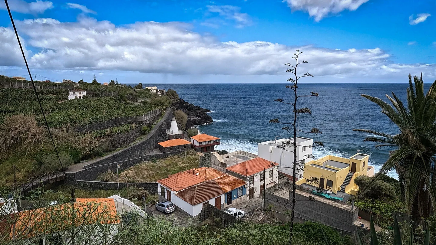
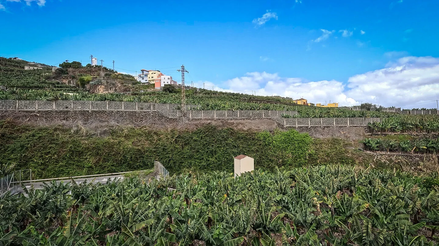
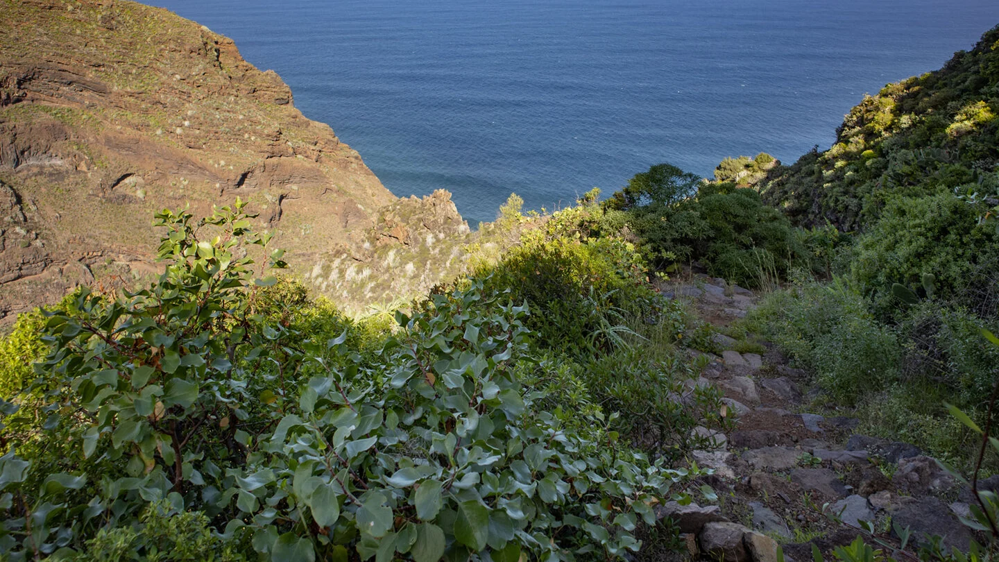
The second GR-130 stage starts on Calle Procesiones behind San Juan church in Puntallana. It first passes traditional houses, Fuente de San Juan and the Casa Luján ethnographic museum within the village. A farm track soon leaves the streets and enters the green east-coast landscape among banana plantations, vineyards and old farmhouses. The Atlantic repeatedly forms a broad horizon beyond the cultivated slopes.
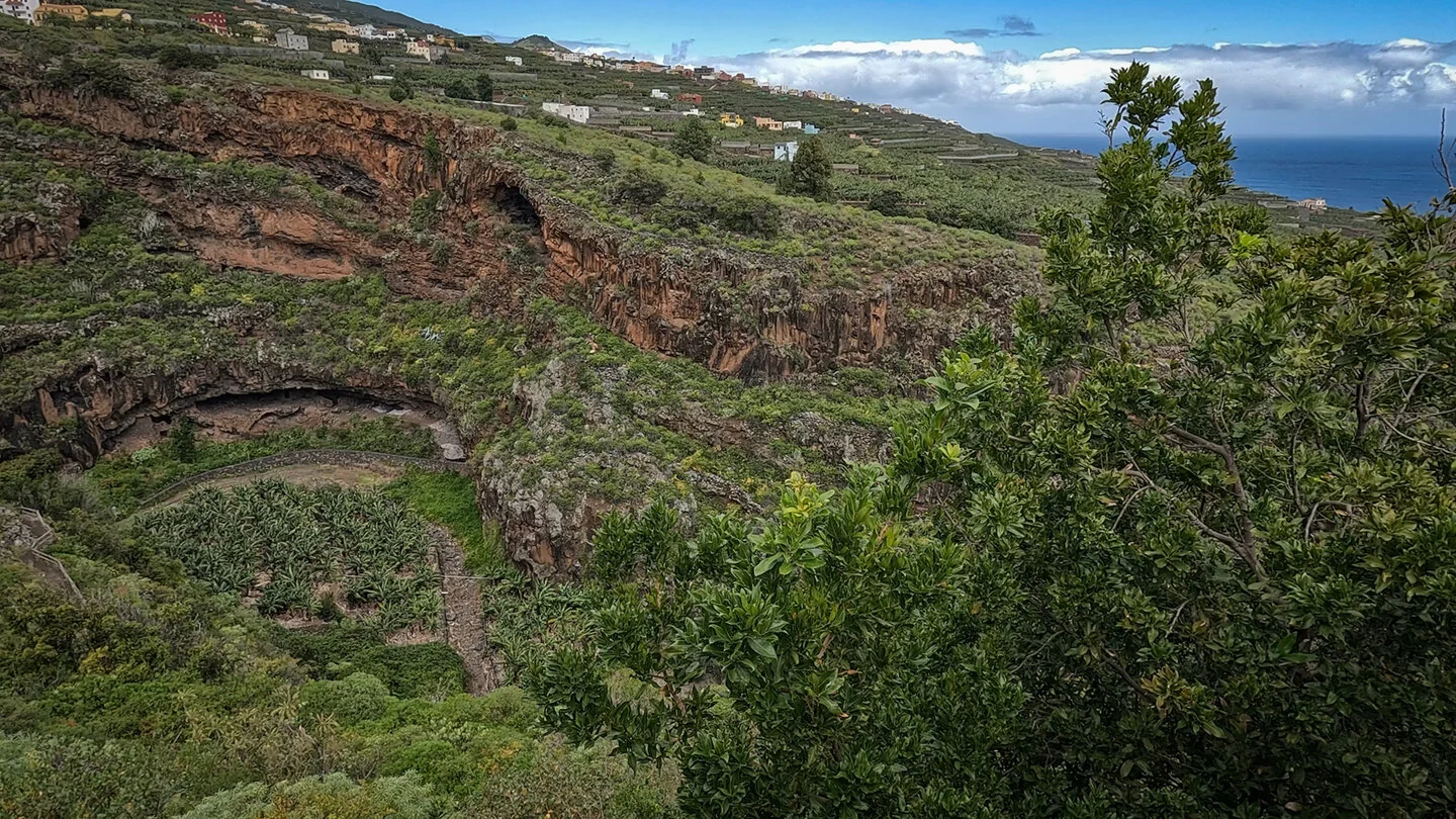
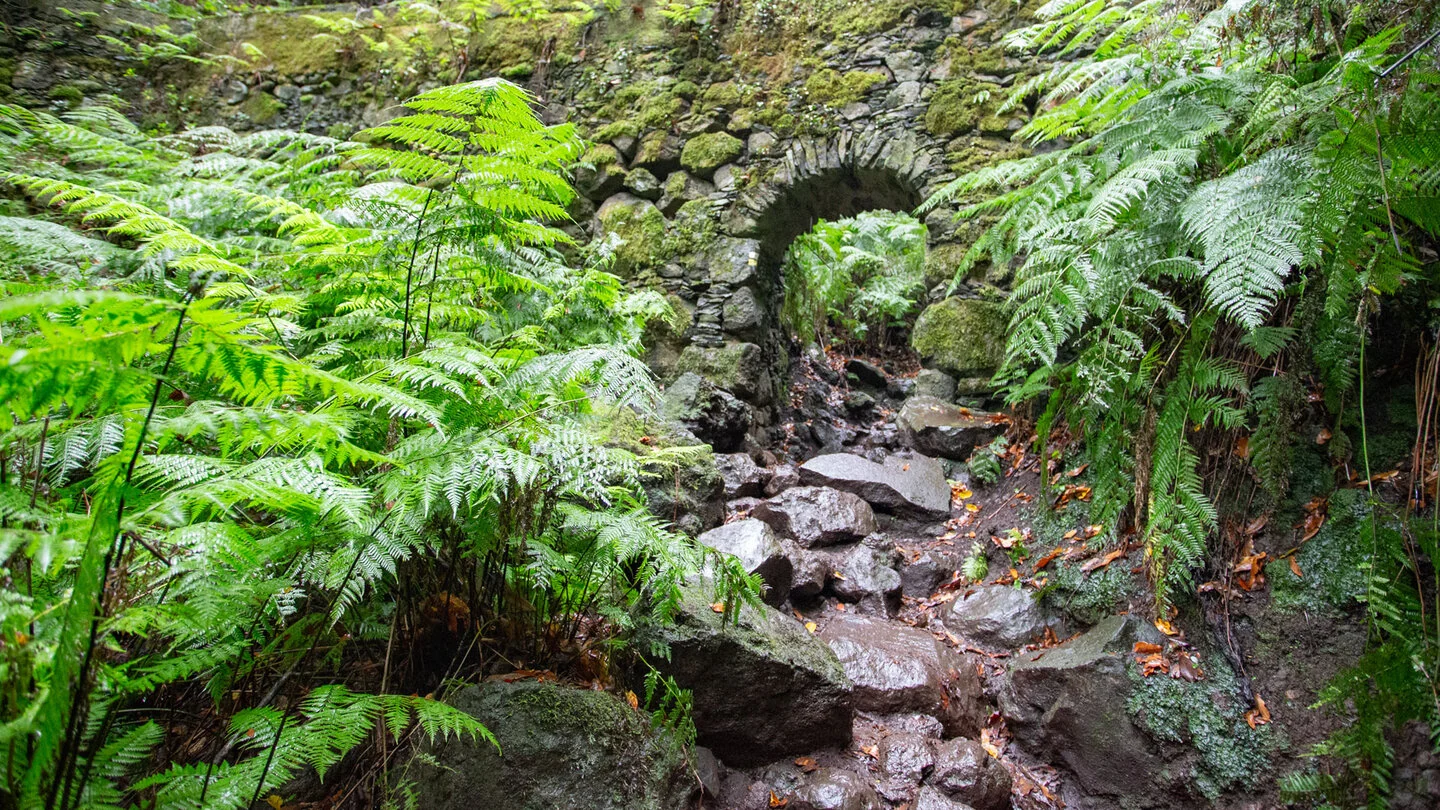
Five deep ravines define the profile of this stage. Barranco Hondo de Nogales is especially striking, with a substantial descent followed by a zigzag climb. The site is also connected with the well-known local love legend of Salto del Enamorado. Further ravines, ancient lava flows and cultivated terraces ensure that the route never feels monotonous.
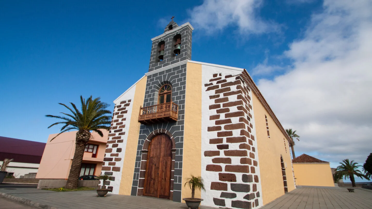
San Andrés is a cultural highlight with cobbled lanes, San Andrés Apóstol church and a historic lime kiln near the sea. The route then climbs through banana fields and small gardens towards Los Sauces. Plaza de Montserrat and Antonio Herrera Park offer suitable places for a break. The combination of lively villages and remote ravines makes this long-distance stage rewarding as a separate day hike.
Beyond Los Sauces, the GR-130 reaches Cruz de La Loma viewpoint and enters the final major ravine, Herradura, also called Barata. A steep but well-secured climb of switchbacks and paved steps leads up to Barlovento. Fertile soils, caves, ravine walls, orchards and small hamlets alternate during the final section. The official stage finish is beside the LP-1 near Barlovento.
At 20.4 kilometres with 1,089 metres of ascent and 913 metres of descent, this route, graded “moderate”, is a full and physically demanding day. An early start, ample water, food and sturdy footwear are essential; take care on damp or paved surfaces. As start and finish are separate, plan the return by bus or taxi and verify the current timetable in advance. The exact route, full tour description, current advice, elevation profile and GPS data are available from our partner Sunhikes.
On Sunhikes you will find comprehensive information about the tour, including GPS track, interactive 3D view, elevation profile and a detailed description.
Open the German original
Ready for this hike?
Plan your hike with GPS track, interactive 3D view and all essential tour data for a safe and perfect hike on La Palma.
👉 Automatically translate the Sunhikes tourOpen the German original
Nearby hiking routes
Discover more hikes nearby on La Palma, from easy trails to challenging routes with spectacular views.
Holiday Homes & Accommodation near Calle Procesiones an der Kirche von Puntallana – Stay on La Palma
Selected holiday homes nearby – perfect for short distances, nature experiences and relaxing holidays on La Palma.


