
- Home
-
Point of Interest
MunicipalityCategory
 La Palma
La isla Bonita - Contact
- La Palma Blog

From Playa de Taburiente to Cascada de la Fondada and Hoyo Verde

Hike overview

2h 30min

Difficult

3,1 km

↑ 713 m ↓ 23 m
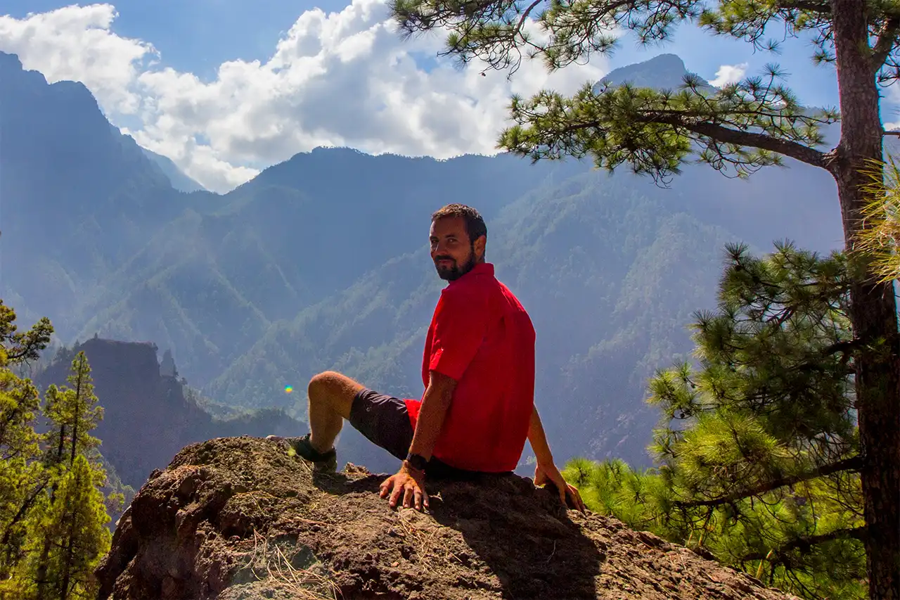
For me, however, the detour is absolutely worth it every time. The waterfall may be the best-known destination, but personally, I don’t find it the most impressive part. My real highlight is the natural pools at Hoyo Verde. It’s one of my favourite places in the Caldera and also a wonderful spot for photography.
If you have enough time and stamina and would like to experience the Caldera away from the usual route, I can highly recommend this detour. Just keep in mind that it significantly extends the overall hike and makes it considerably more challenging.
An insight into the hike:
This unusual route does not begin beside a road but deep inside the national park at Playa de Taburiente. Reaching the start must therefore be planned as part of the hiking day: it is normally approached from Los Brecitos on the PR-LP 13 or included within a longer caldera itinerary. From the stony river landscape, the trail enters one of the wildest side basins of the vast erosion crater and gains more than 700 metres in only 3.1 kilometres.
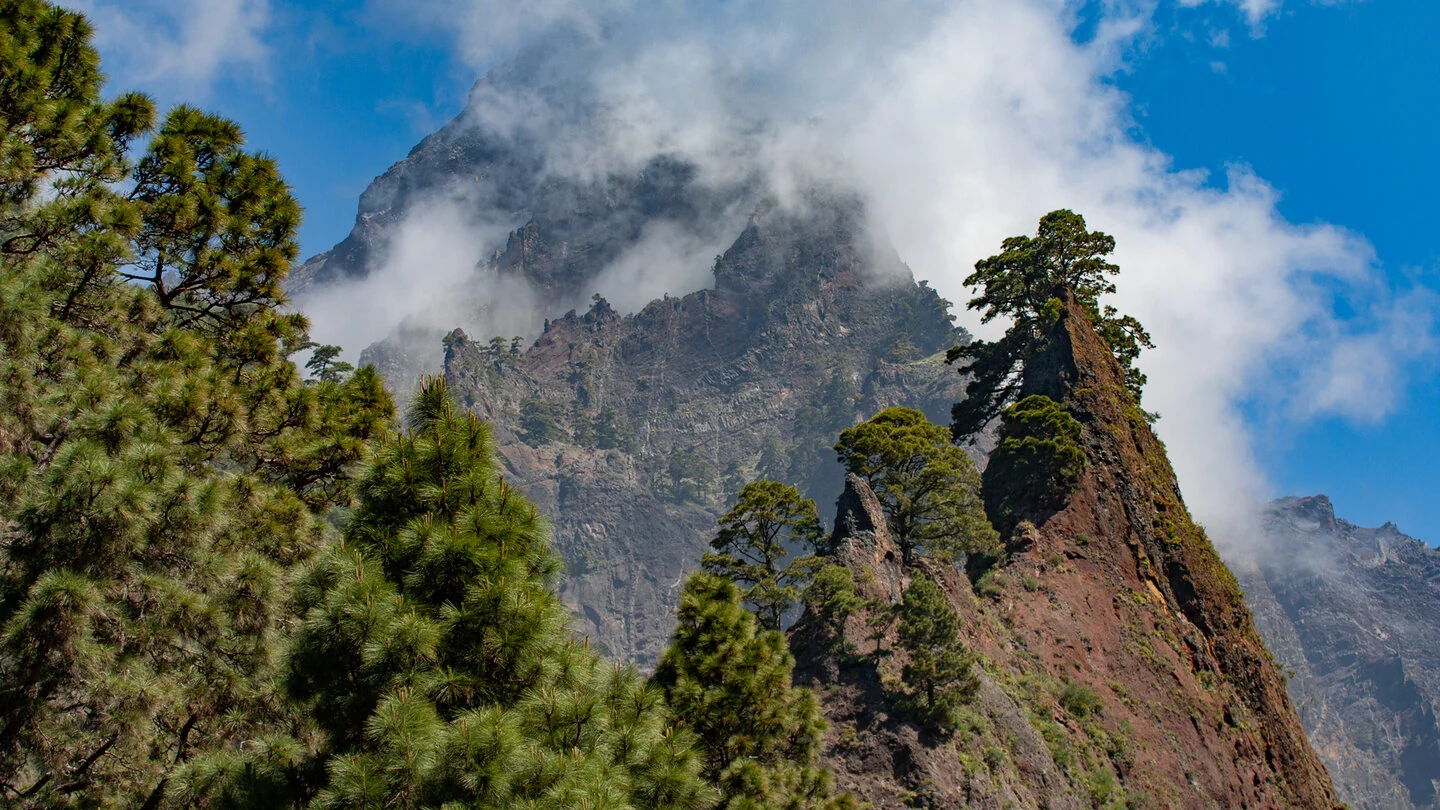
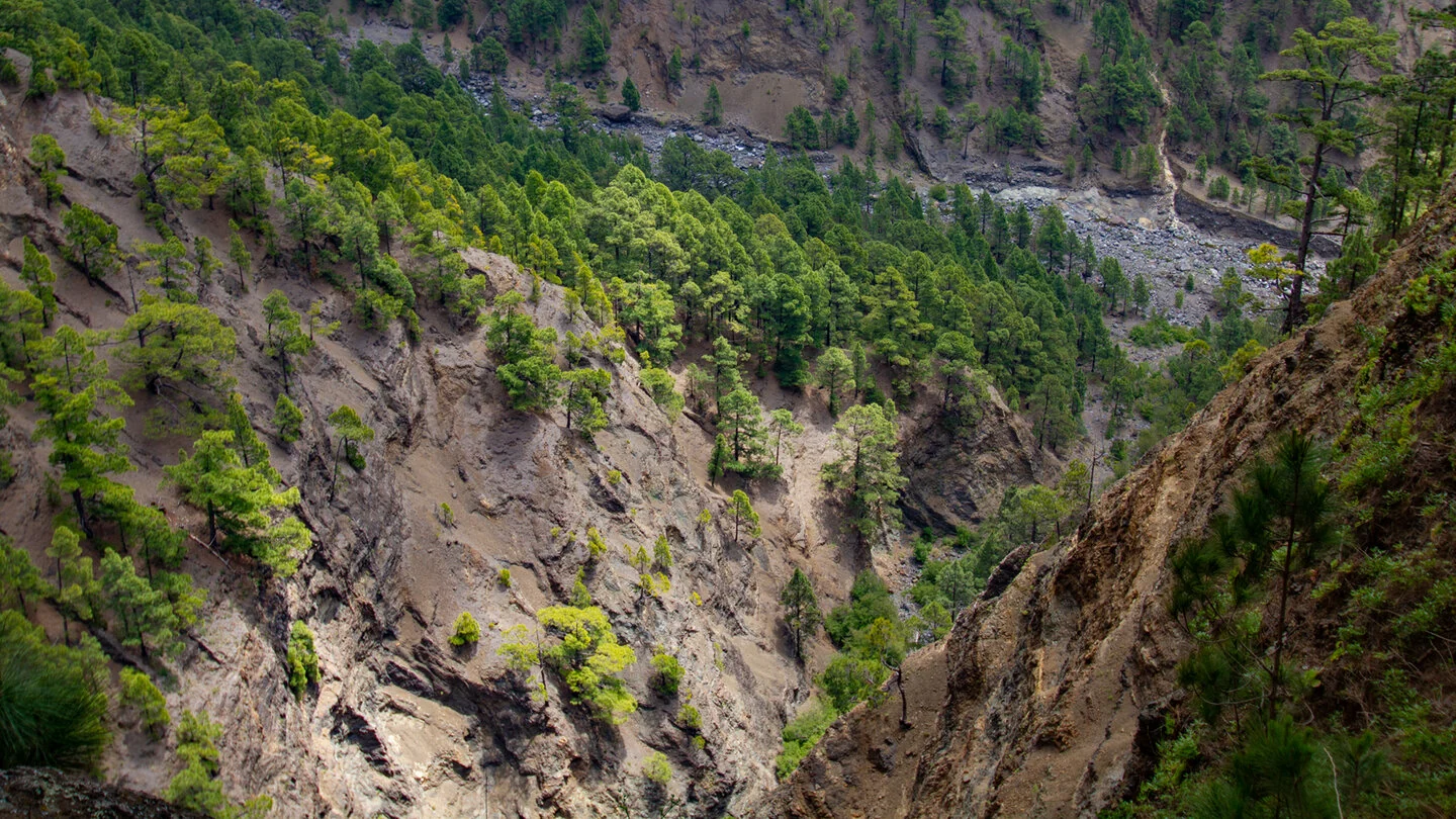
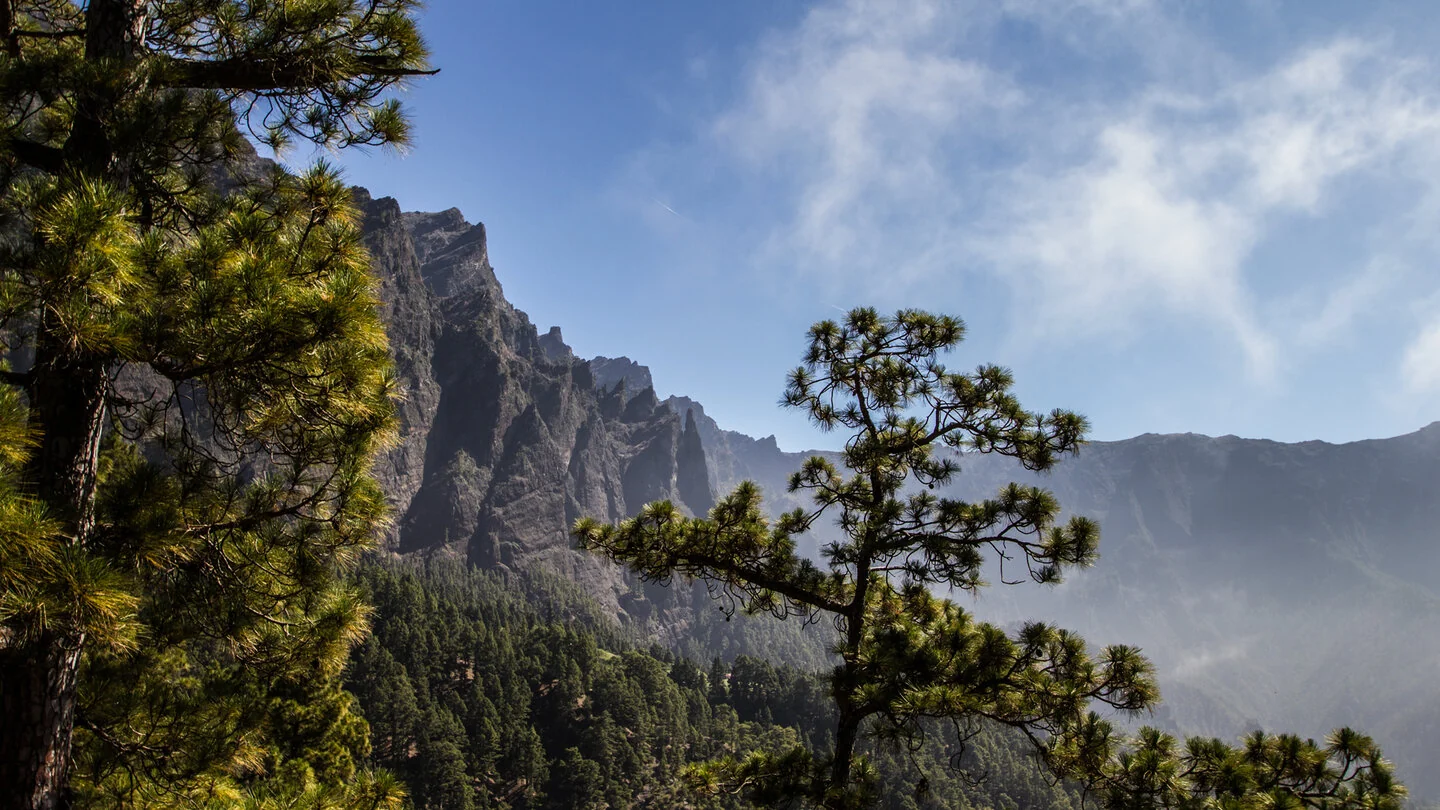
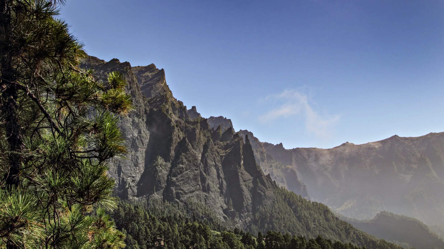
The walk initially follows the PR-LP 13 briefly towards Los Brecitos. At a junction in the pine forest, the access path to Cascada de la Fondada and Hoyo Verde branches away. Tight bends climb steeply beneath the distinctive Roque del Huso. Its rocky pinnacle, crowned by isolated Canary pines, accompanies the ascent like a natural landmark. With every metre gained, the views down to the Río Taburiente riverbed and across the surrounding walls become more dramatic.
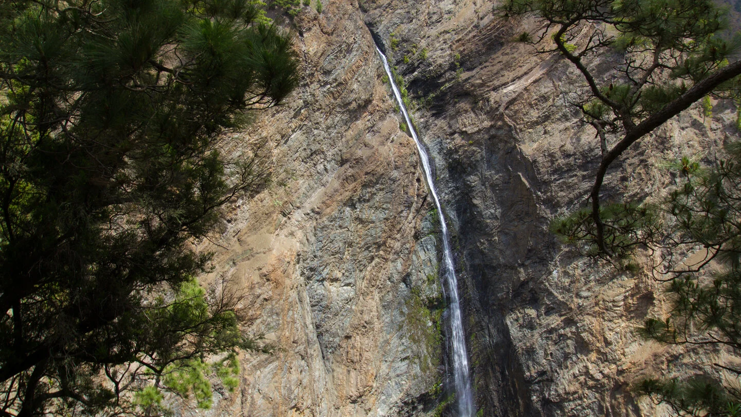
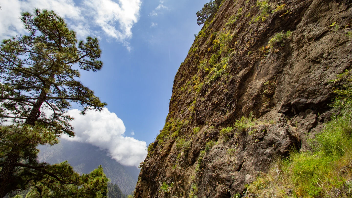
A partly exposed ridge is protected in places by railings and chains. Beyond Roque de la Viña, the path follows a dry streambed to Mirador de la Cascada de la Fondada. Opposite, a narrow ribbon of water drops roughly 100 metres down an almost vertical rock face. Its flow depends heavily on season and rainfall, yet the geological setting remains spectacular even with little water. The route then climbs rock steps and open pine woodland towards Pinar de Siete Fuentes and Hoyo Verde.
The Sunhikes figures describe the one-way, predominantly uphill section: 3.1 kilometres, 713 metres of ascent and up to two and a half hours. The return and the approach to Playa de Taburiente must be added, turning this apparently short route into a long and demanding day. The trail is not continuously marked; sound navigation, sure-footedness and a head for heights are essential. Avoid the route in wet conditions, when rockfall risk is elevated or when the weather is uncertain.
Carry ample water, food, sun protection and proper mountain footwear. Before setting out, check the condition of national-park trails, current access and taxi arrangements for Los Brecitos, and the daylight remaining. This route is suited to experienced hikers and is not a spontaneous addition to a short stroll. The exact route, full tour description, current advice, elevation profile and GPS data are available from our partner Sunhikes.
On Sunhikes you will find comprehensive information about the tour, including GPS track, interactive 3D view, elevation profile and a detailed description.
Open the German original
Ready for this hike?
Plan your hike with GPS track, interactive 3D view and all essential tour data for a safe and perfect hike on La Palma.
👉 Automatically translate the Sunhikes tourOpen the German original
Nearby hiking routes
Discover more hikes nearby on La Palma, from easy trails to challenging routes with spectacular views.


Holiday Homes & Accommodation near Playa de Taburiente – Stay on La Palma
Selected holiday homes nearby – perfect for short distances, nature experiences and relaxing holidays on La Palma.


