
- Home
-
Point of Interest
MunicipalityCategory
 La Palma
La isla Bonita - Contact
- La Palma Blog

Crossing the Caldera de Taburiente from Los Brecitos
Hike overview

7h

Difficult

13,9 km

↑ 381 m ↓ 1156 m
An insight into the hike:
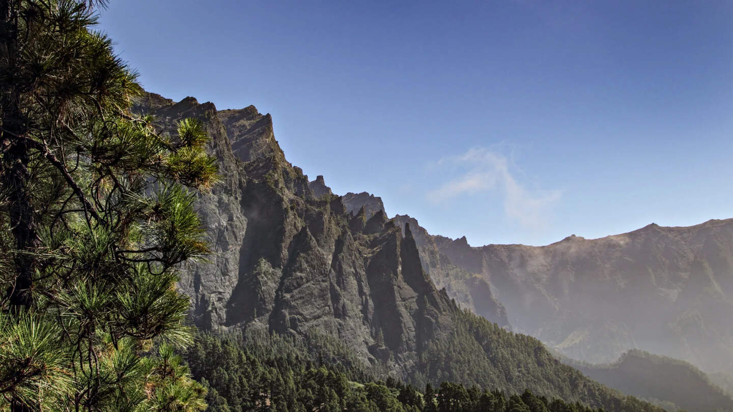
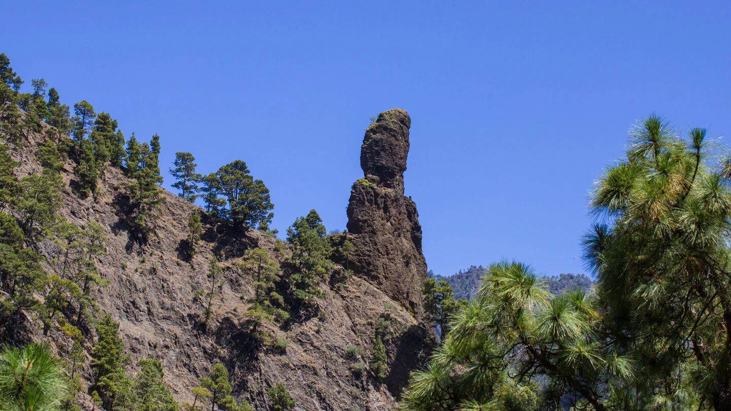
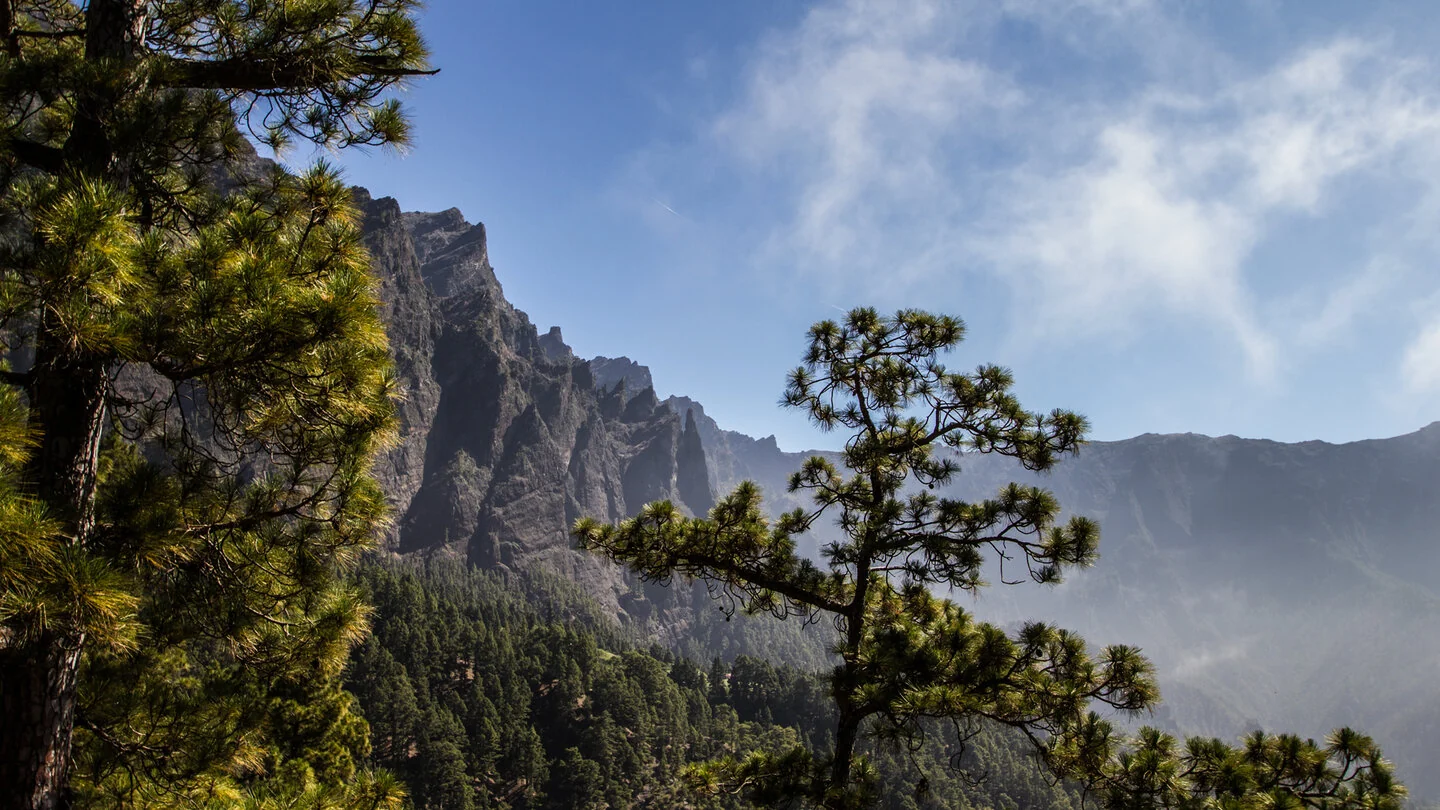
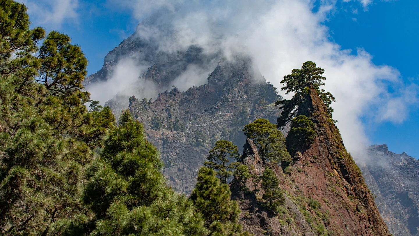
This hike reveals the full variety of Caldera de Taburiente. From Mirador de los Brecitos, PR-LP 13 crosses open Canary pine forest and several small ravines. Viewpoints frame the pinnacles of Los Agujeritos, Pico Bejenado and the distinctive Roque Idafe before the trail descends to Playa de Taburiente in the heart of the national park.
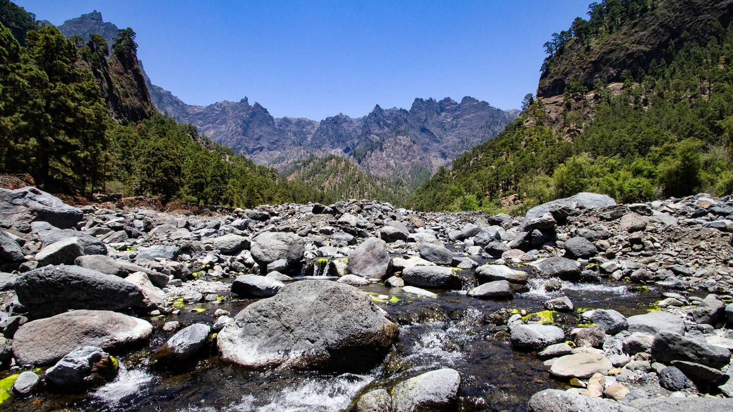
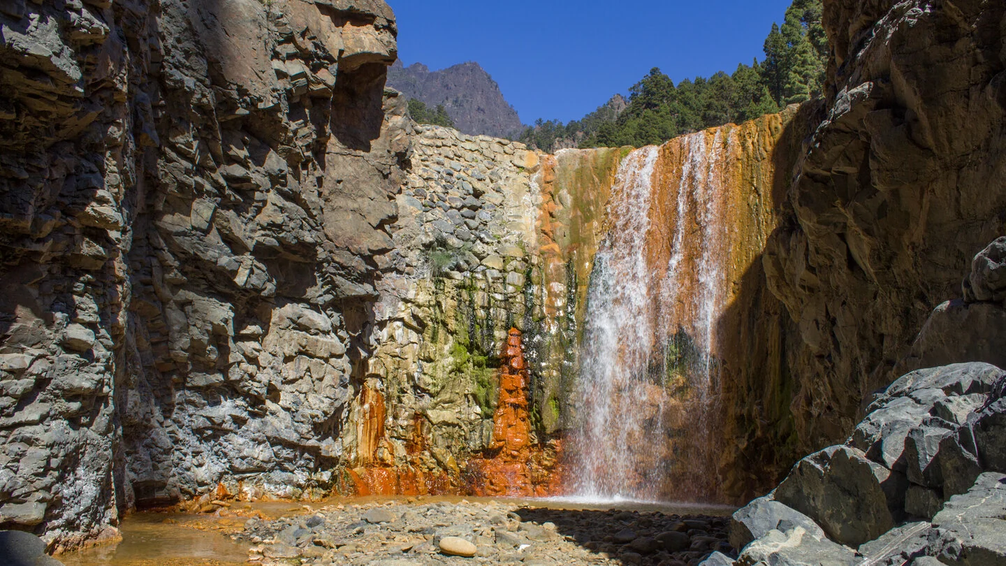
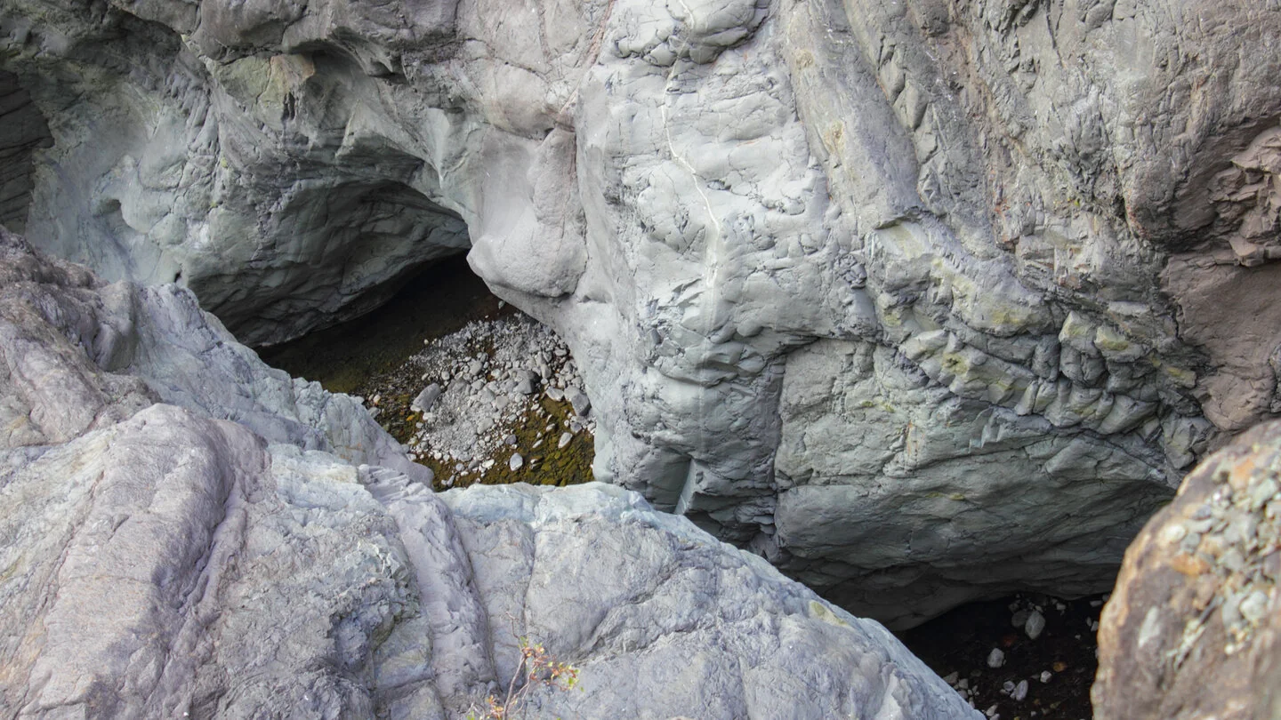
The character changes beside the broad gravel bed of Río Taburiente. Beyond this green riverside landscape comes the steep El Reventón section towards Río Almendro Amargo. Iron-rich deposits colour the streams red, yellow and ochre, while a short detour leads to Cascada de Colores. The route then follows the confluence at Dos Aguas and continues through imposing Barranco de las Angustias.
At 13.9 kilometres, the distance alone understates the effort: 1,156 metres of descent, steep loose sections and repeated stream crossings make this a demanding day. Sure-footedness, a head for heights and good fitness are essential. Do not attempt the route during or immediately after heavy rain, when water levels may rise rapidly and the ravine can be closed. Current national-park information should always be checked before setting out.
Because start and finish are separate, transport is part of the planning. The usual arrangement is to leave the car at the Barranco de las Angustias trail car park and take a taxi shuttle to Los Brecitos. Start early and carry sufficient water and food, sturdy footwear, sun protection and rain gear. The exact route, full tour description, current advice, elevation profile and GPS data are available from our partner Sunhikes.
On Sunhikes you will find comprehensive information about the tour, including GPS track, interactive 3D view, elevation profile and a detailed description.
Open the German original
Ready for this hike?
Plan your hike with GPS track, interactive 3D view and all essential tour data for a safe and perfect hike on La Palma.
👉 Automatically translate the Sunhikes tourOpen the German original
Nearby hiking routes
Discover more hikes nearby on La Palma, from easy trails to challenging routes with spectacular views.

Holiday Homes & Accommodation near Mirador de los Brecitos – Stay on La Palma
Selected holiday homes nearby – perfect for short distances, nature experiences and relaxing holidays on La Palma.


