
- Home
-
Point of Interest
MunicipalityCategory
 La Palma
La isla Bonita - Contact
- La Palma Blog

El Jesús: Ravine and cultural walk to Barranco del Jurado
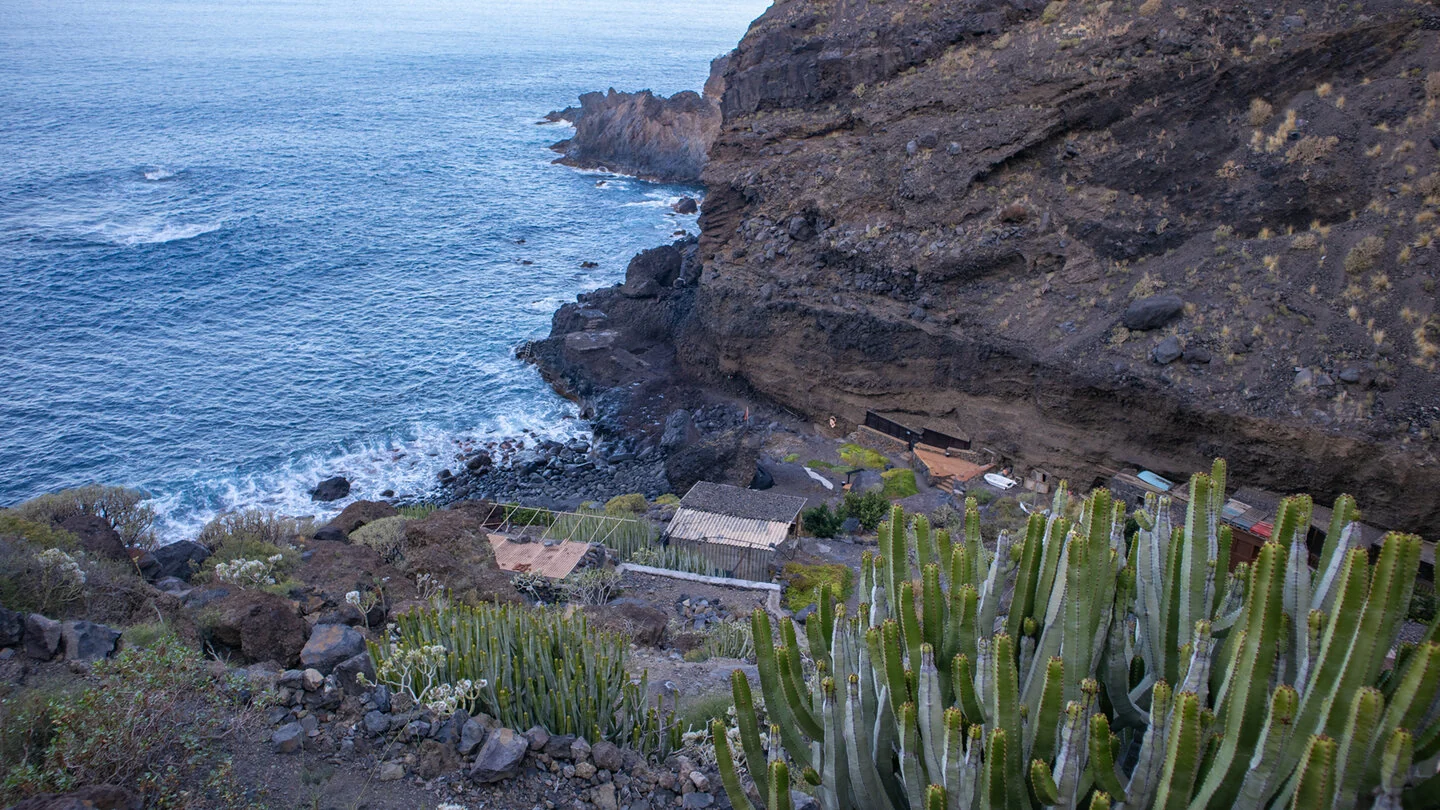
Hike overview

3h 45min

Moderate

9,4 km

↑ 641 m ↓ 641 m
An insight into the hike:
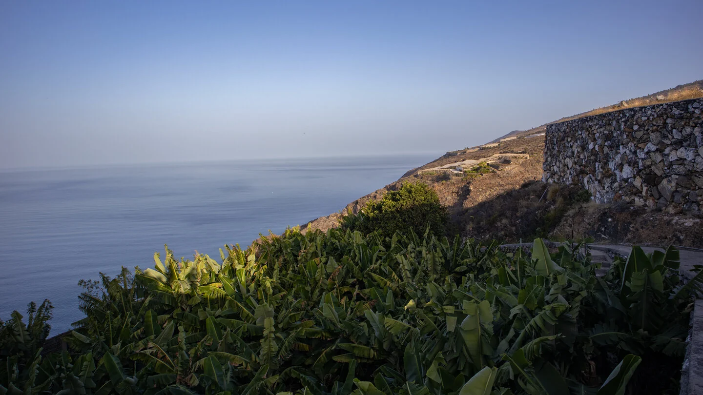
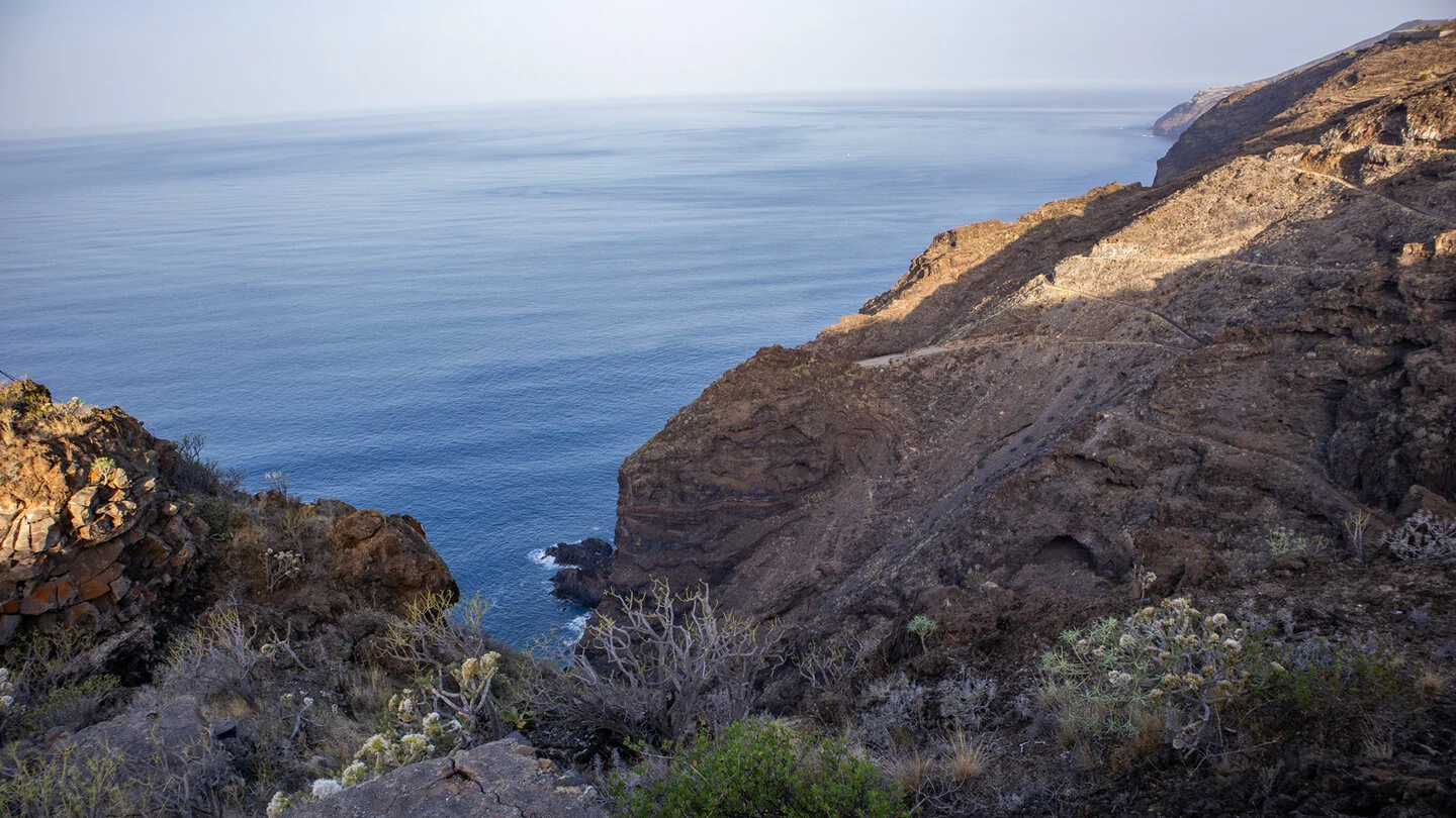
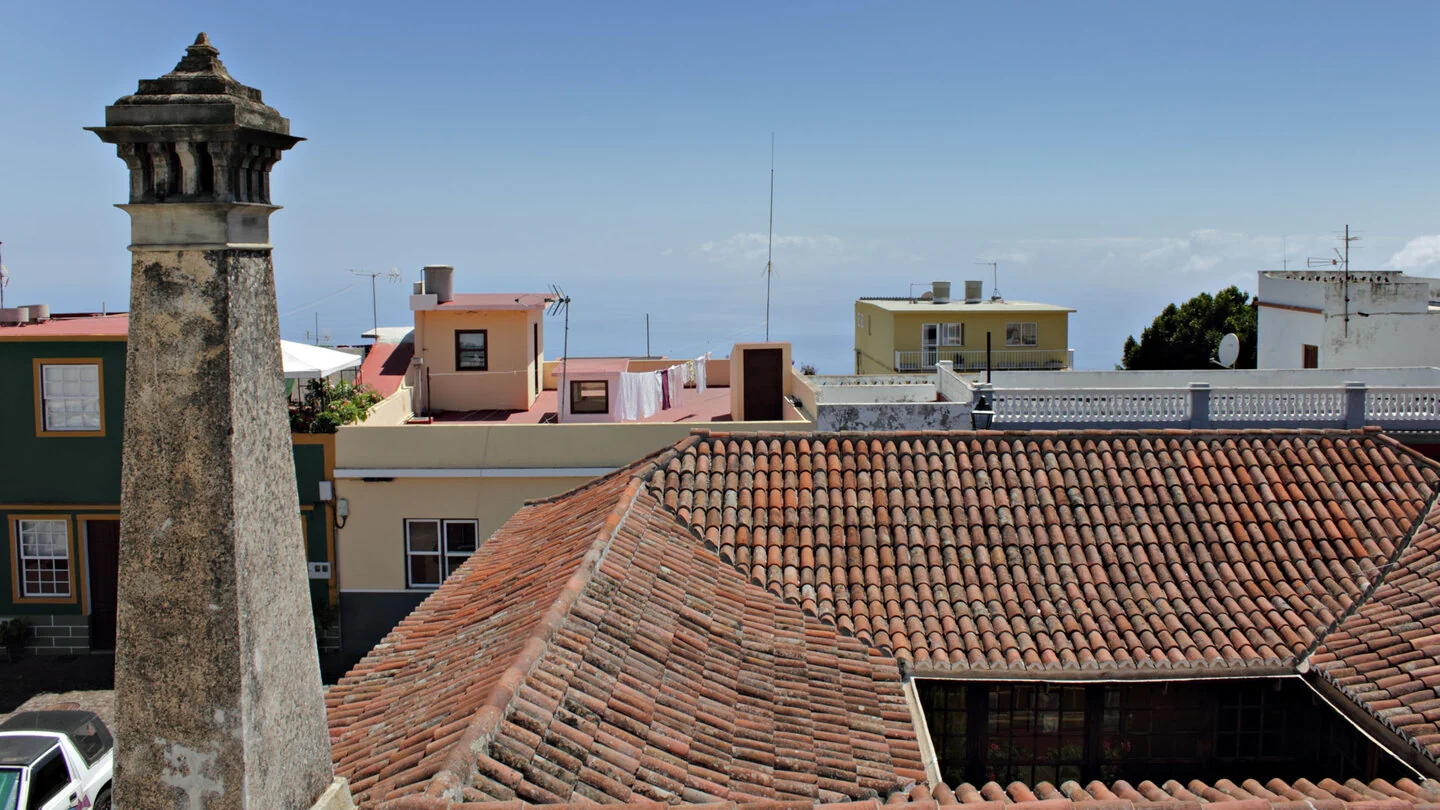
The circuit starts beside Ermita del Buen Jesús in the hamlet of El Jesús. The PR LP 12.2 descends on a historic paved path through houses, gardens, banana plantations and water reservoirs. It repeatedly crosses the narrow road and opens broad views over the sunny west coast. These first kilometres clearly show how farming, settlement and steep terrain are interwoven in Tijarafe.
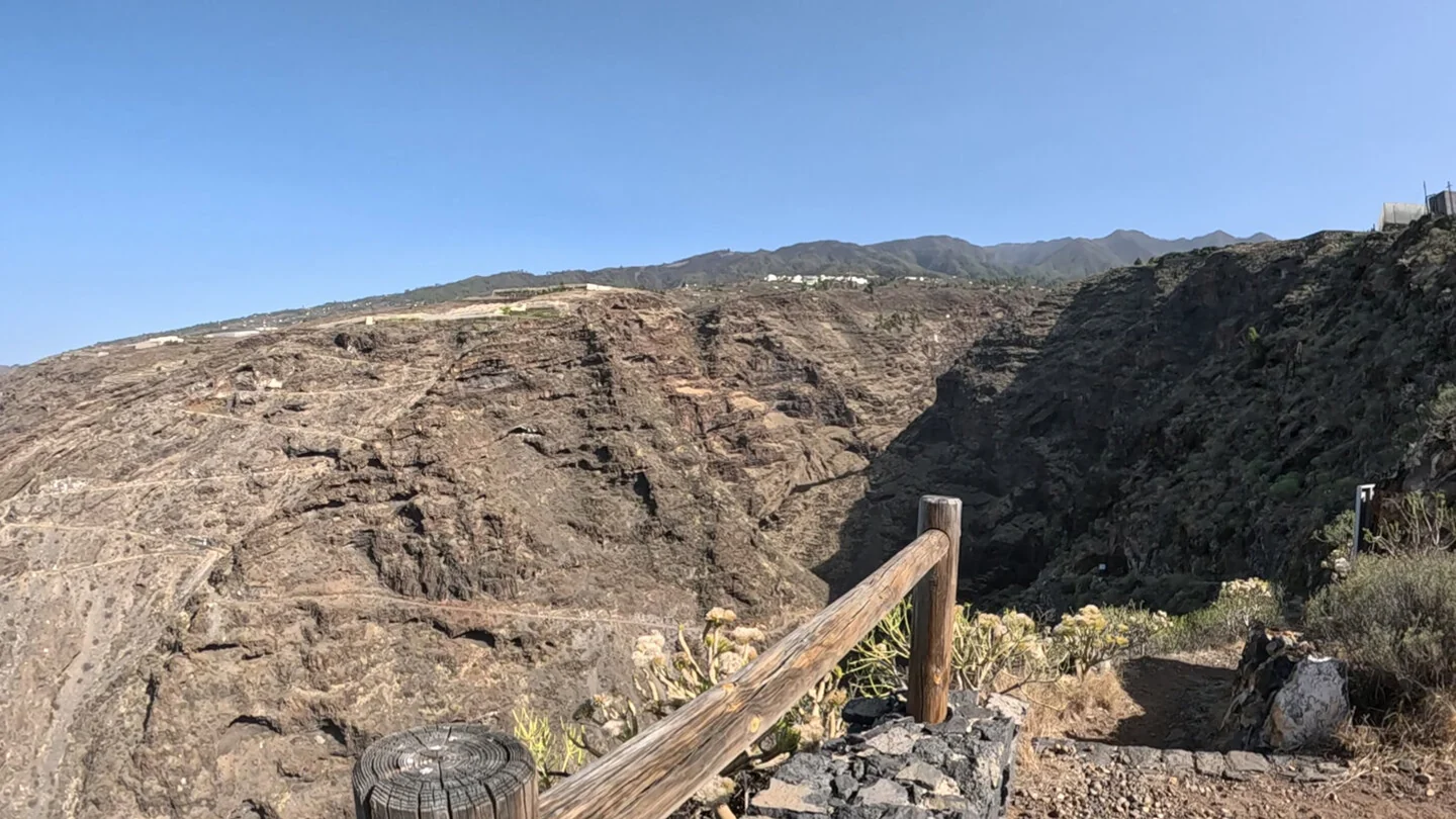
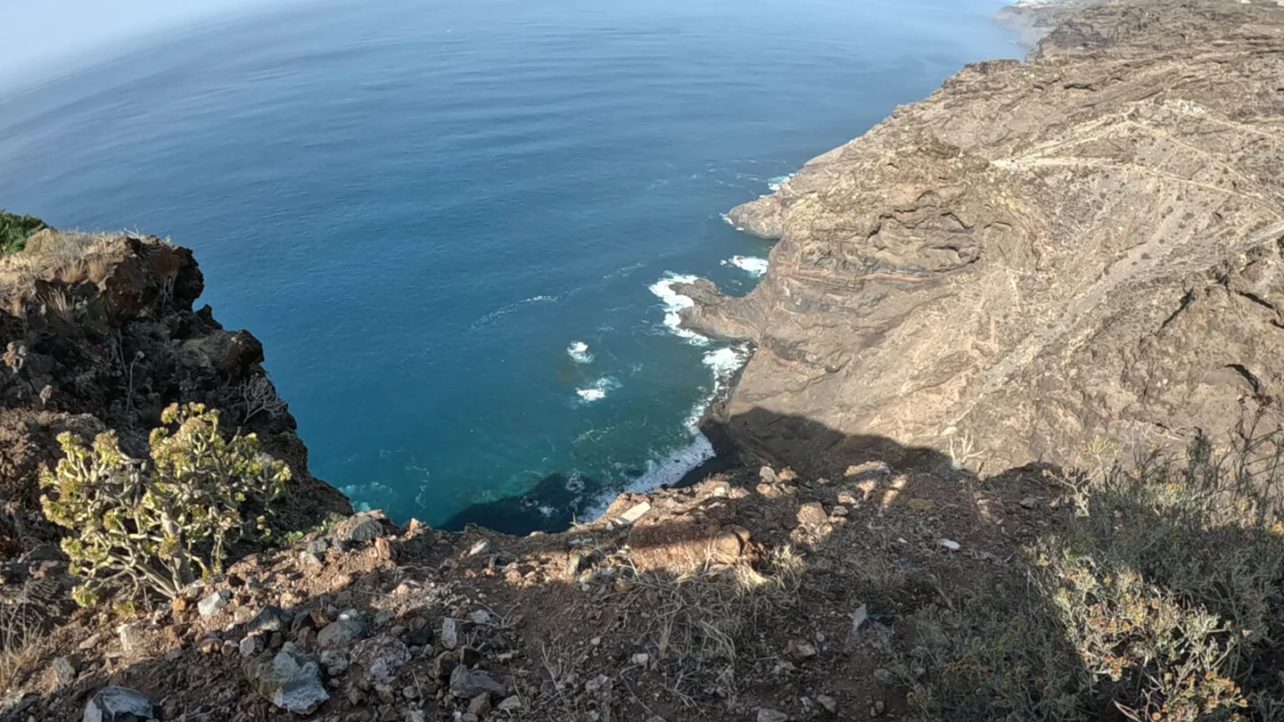
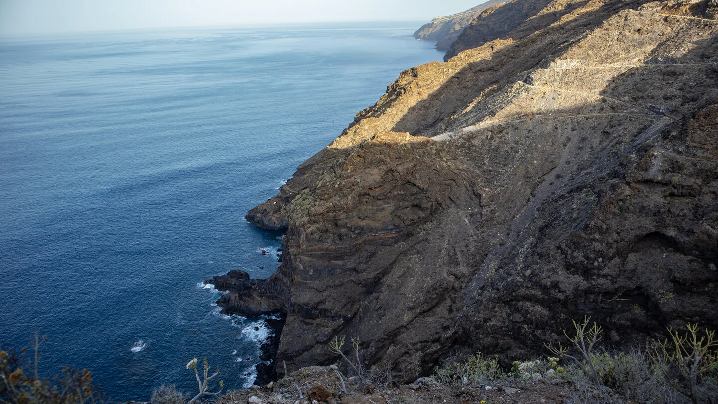
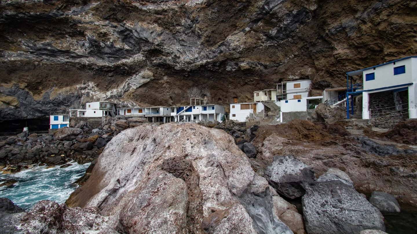
At Mirador del Barranco del Jurado, the scene changes. The deep ravine drops between dark cliffs to the Atlantic, while remains of an old material cableway recall former use. A narrow path descends in bends to Playa del Jurado. Its small weekend settlement and pebble beach make a memorable rest spot, although swimming should only be considered in safe sea conditions.
The return climbs strongly out of the ravine and then crosses the cultivated landscape of El Jesús. Terraces, dry-stone walls and coastal panoramas give the circuit a different finish from simply retracing the descent. The 9.4 kilometres include 641 metres both up and down. Overall difficulty is moderate, but individual ramps are steep, narrow and strenuous in sunshine.
Shade is limited, making an early start and ample water advisable. Paving and rock can be slippery after rain. The route to the Pirate Bay is not part of this circuit and should not be confused with it.
Planning should consider not only distance but also the elevation profile, surface and weather. On La Palma, sunshine, wind, trade-wind cloud and brief showers can change within only a few kilometres. Carry sufficient water, a snack, sturdy footwear and protection from sun and rain even when conditions are good at the start. Check current trail closures and information from the protected areas before departure. For point-to-point routes, organise the return by taxi, bus or a second vehicle in advance. The exact route, full tour description, current advice, elevation profile and GPS data are available from our partner Sunhikes.
On Sunhikes you will find comprehensive information about the tour, including GPS track, interactive 3D view, elevation profile and a detailed description.
Open the German original
Ready for this hike?
Plan your hike with GPS track, interactive 3D view and all essential tour data for a safe and perfect hike on La Palma.
👉 Automatically translate the Sunhikes tourOpen the German original
Nearby hiking routes
Discover more hikes nearby on La Palma, from easy trails to challenging routes with spectacular views.

Holiday Homes & Accommodation near Ermita del Buen Jesús in El Jesús – Stay on La Palma
Selected holiday homes nearby – perfect for short distances, nature experiences and relaxing holidays on La Palma.


