
- Home
-
Point of Interest
MunicipalityCategory
 La Palma
La isla Bonita - Contact
- La Palma Blog

Coastal Hike from El Tablado to Gallegos

Hike overview

5h

Difficult

9,4 km

↑ 897 m ↓ 933 m
An insight into the hike:
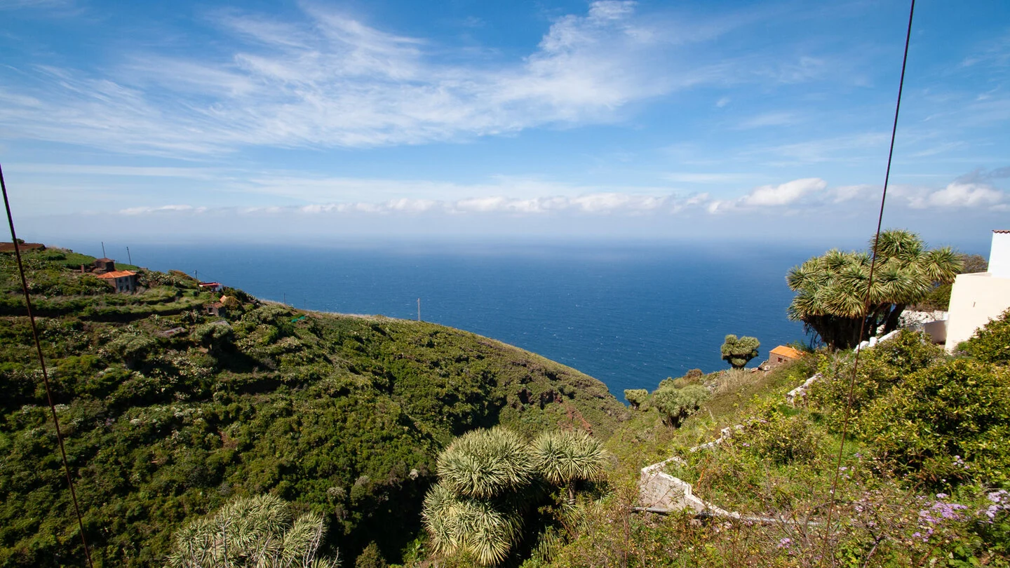
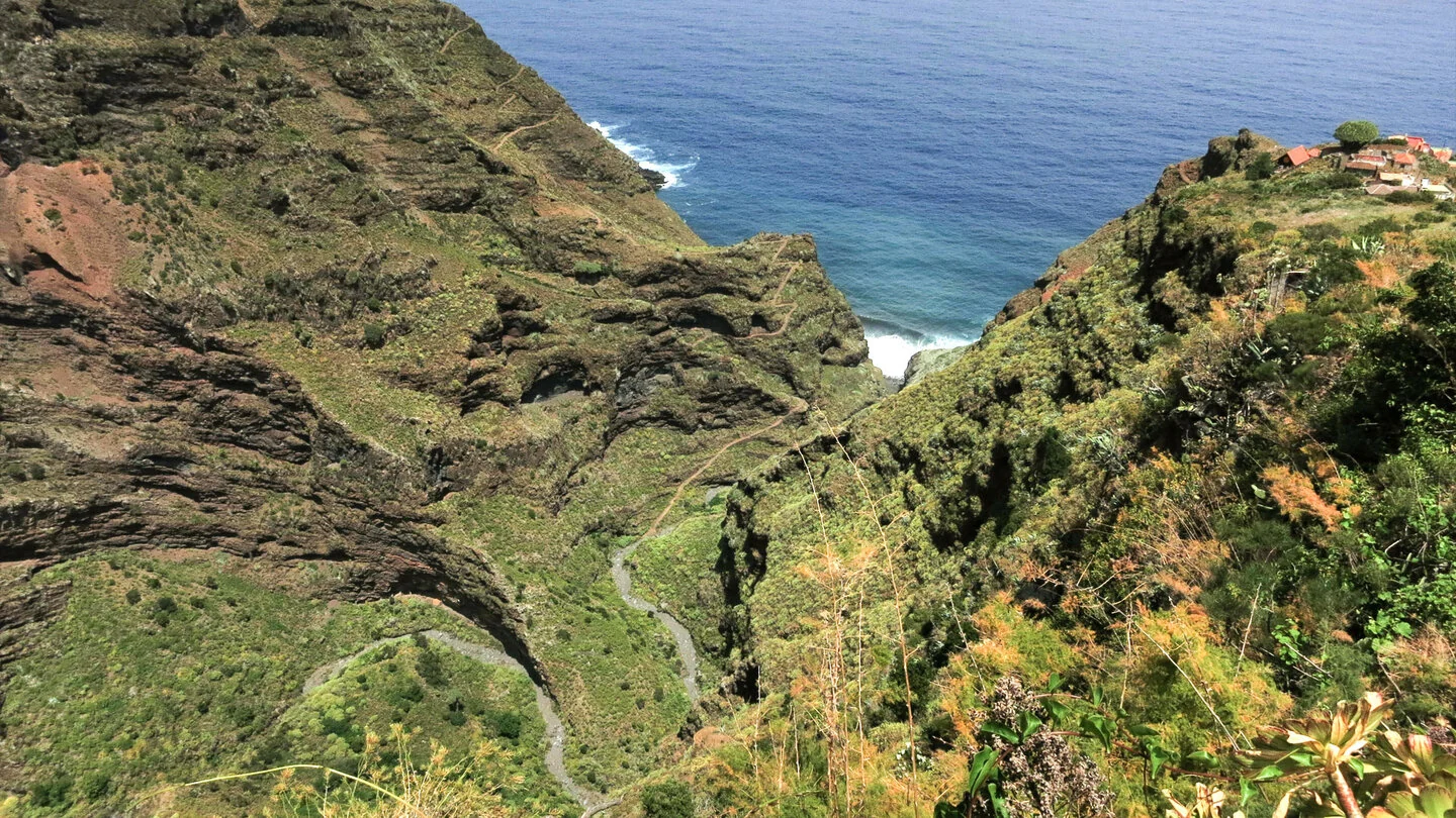
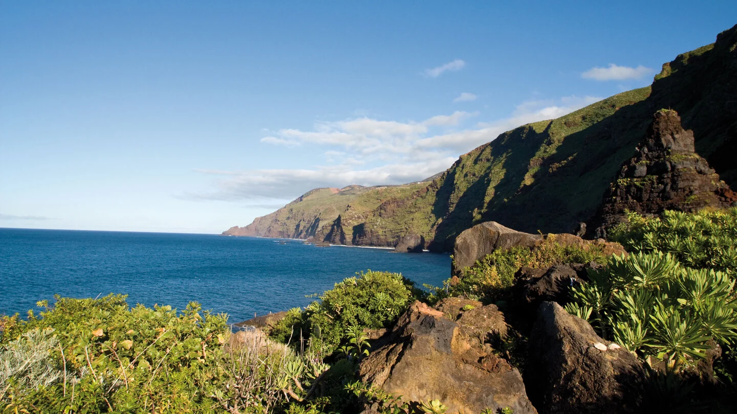
Between El Tablado and Gallegos, northern La Palma feels especially remote and authentic. The route uses historic sections of the Camino Real de la Costa through a landscape of deeply cut ravines, steep coastal slopes and scattered settlements. From high-lying El Tablado, views extend across the green terrain to the Atlantic, while dragon trees, euphorbias and small pockets of laurel forest add characteristic detail along the way.
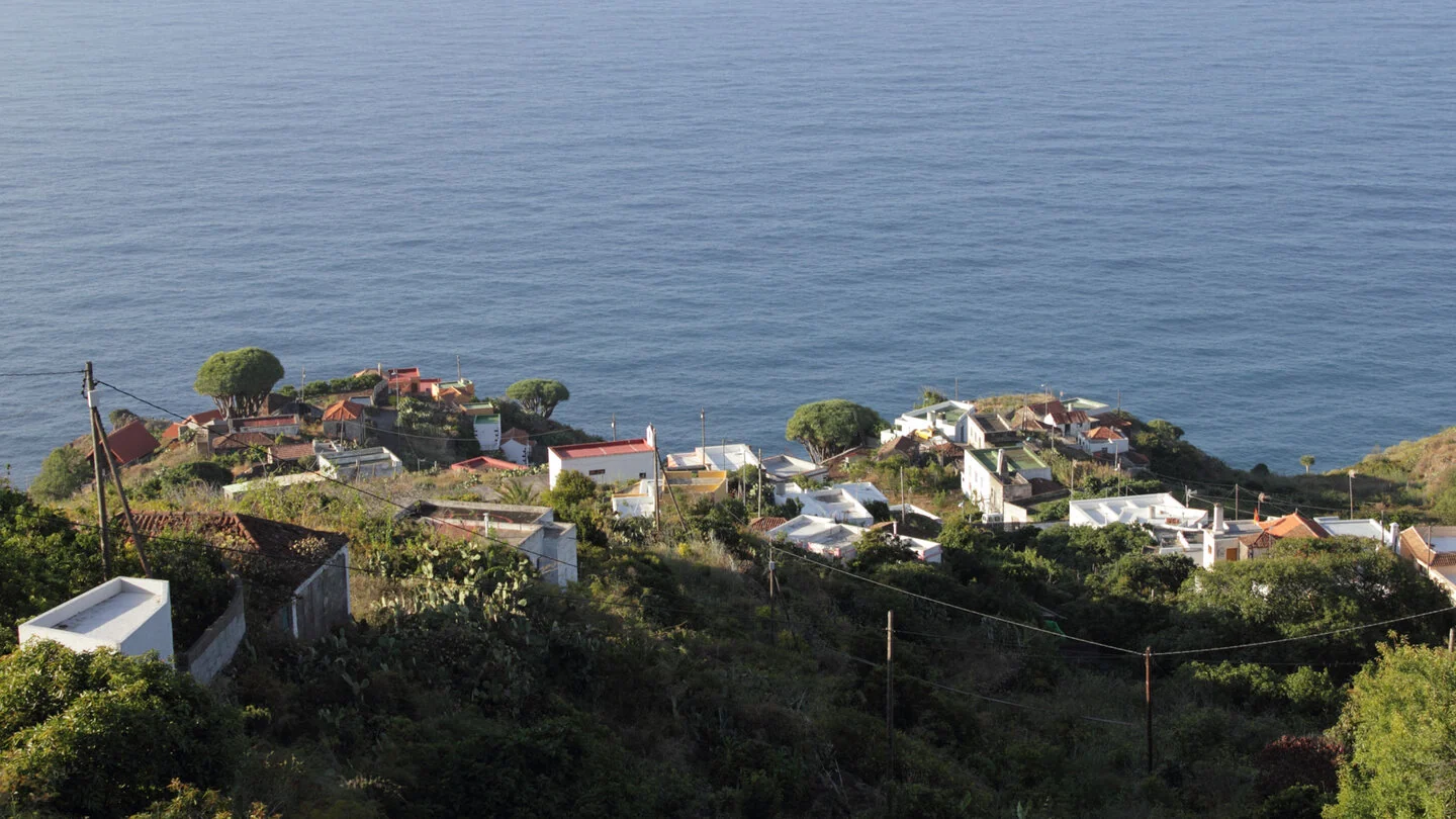
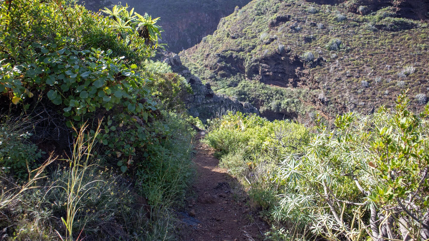
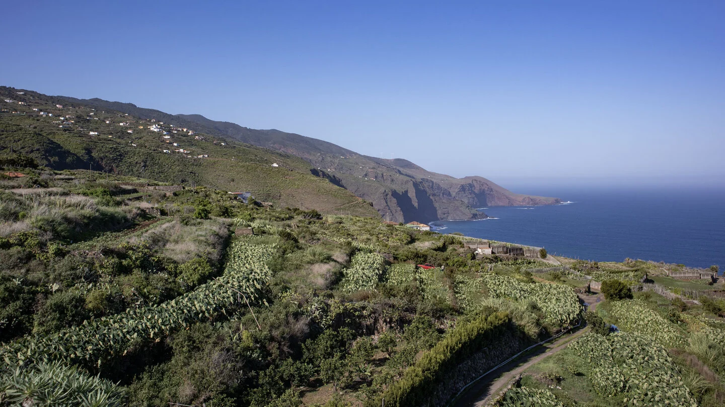
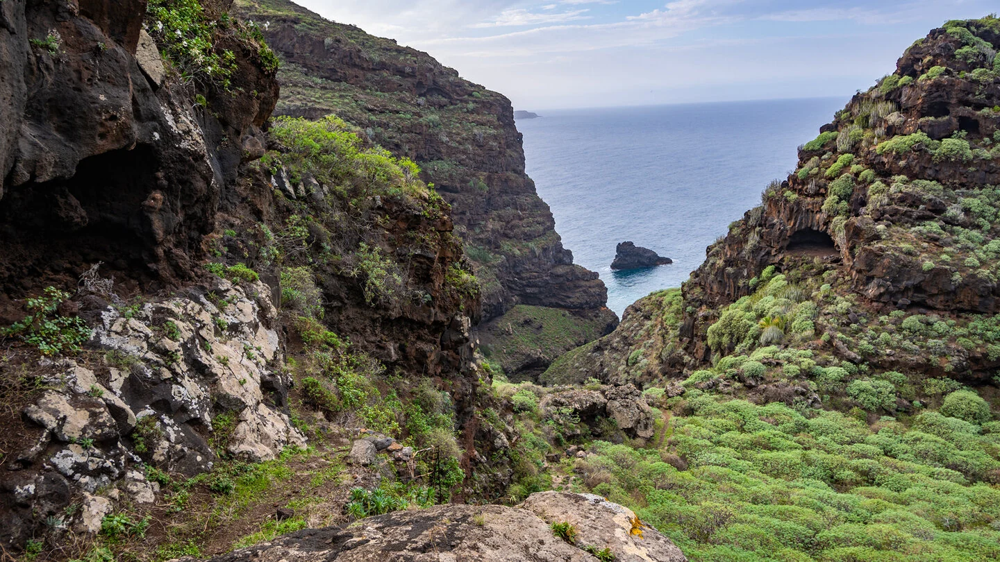
The scale of the north coast becomes particularly clear in Barranco de los Hombres. The old path loses substantial height in tight switchbacks before climbing steeply out on the opposite side. Viewpoints overlook the ravine mouth, La Fajana and terraced hillsides. Later, the hike enters the rural areas of Franceses and Gallegos, where traditional houses, fields and crops reveal the demanding but living cultural landscape of the north.
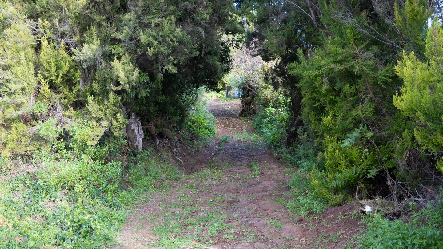
The distance of 9.4 kilometres should not be underestimated: 897 metres of ascent and 933 metres of descent make this a physically demanding route. Stony, sometimes paved and occasionally exposed paths require sure-footedness and a head for heights. Sturdy boots, ample water and food, plus protection from sun, wind and rain are essential. Wet conditions can make the steep sections considerably more slippery.
The start and finish are in different villages, so a taxi or suitable bus connection should be researched and secured in advance. The route can also be walked in the opposite direction, although this changes the pattern of effort. The exact course along PR-LP 9.1 and GR 130, current information, full trail description, elevation profile and GPS data are available from our partner Sunhikes.
On Sunhikes you will find comprehensive information about the tour, including GPS track, interactive 3D view, elevation profile and a detailed description.
Open the German original
Ready for this hike?
Plan your hike with GPS track, interactive 3D view and all essential tour data for a safe and perfect hike on La Palma.
👉 Automatically translate the Sunhikes tourOpen the German original
Nearby hiking routes
Discover more hikes nearby on La Palma, from easy trails to challenging routes with spectacular views.
Holiday Homes & Accommodation near Ortseingang El Tablado – Stay on La Palma
Selected holiday homes nearby – perfect for short distances, nature experiences and relaxing holidays on La Palma.


