
- Home
-
Point of Interest
MunicipalityCategory
 La Palma
La isla Bonita - Contact
- La Palma Blog

Coastal hike from El Tablado to Santo Domingo de Garafía

Hike overview

6h

Difficult

13,2 km

↑ 1084 m ↓ 1090 m
An insight into the hike:
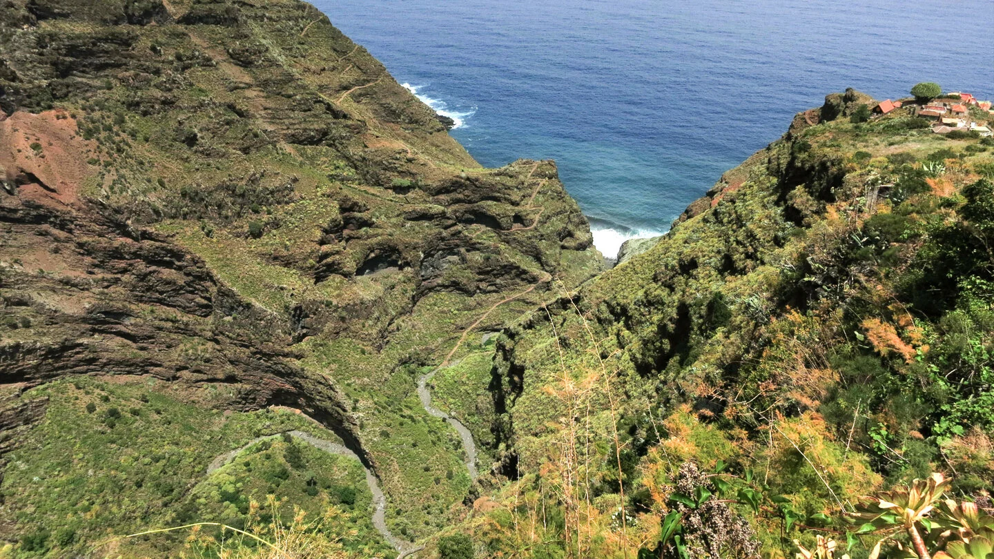
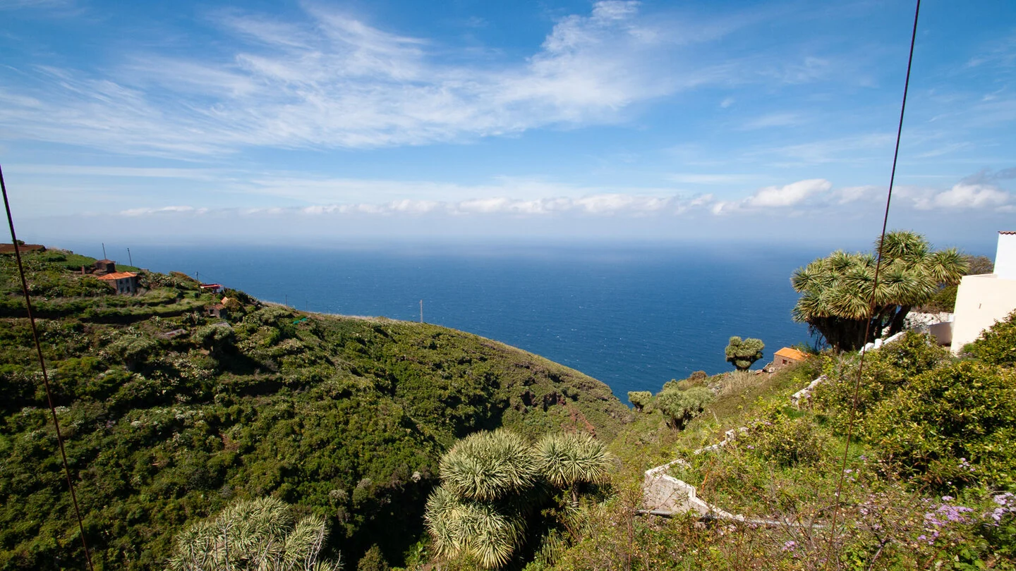
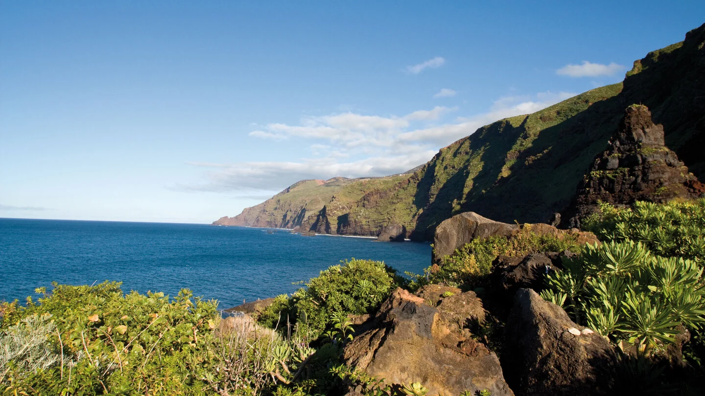
The linear hike starts in remote El Tablado, perched on a narrow ridge between Barranco de los Hombres and Barranco Fagundo. The village setting immediately reveals the dramatic topography of northern La Palma. The PR-LP 9.1 descends through the settlement to join the historic GR-130. Views repeatedly open between rural houses and dragon trees towards the cliffs and Atlantic Ocean.
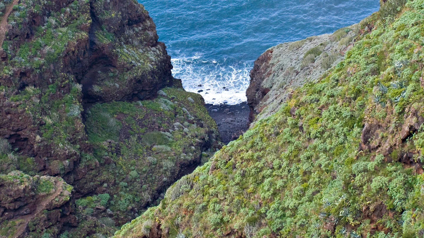
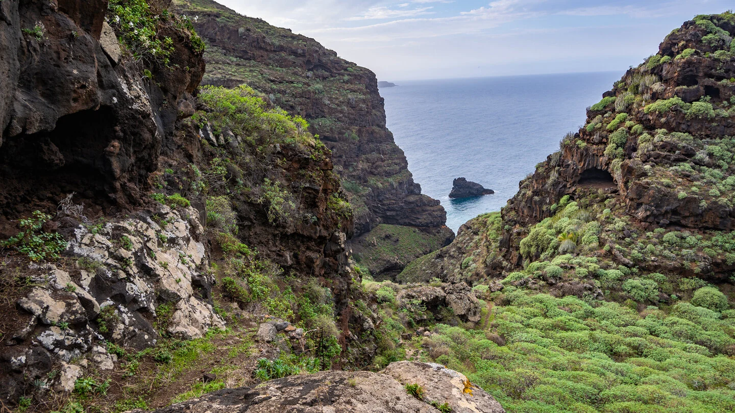
Barranco Fagundo is the first major obstacle. Numerous switchbacks descend steep and occasionally slippery slopes to the ravine bed before climbing out on the opposite side. Succulent-covered walls, erosion caves and the nearby mouth of the ravine create a powerful setting. The optional detour to the shore should only be attempted in safe conditions because access uses an ageing wooden staircase and requires extra time.
Beyond Mirador La Calzada, gentler terrain crosses farmland towards the isolated hamlet of Don Pedro. Barranco La Magdalena then introduces a completely different environment of humid laurel forest, slippery steps and a huge volcanic basalt dyke. Across Valle Rey, Salto and Domingo Díaz, the vegetation gradually changes back to dry heath and coastal plants. Abandoned settlements, goat farming and small gardens illustrate the challenges of life in this secluded region.
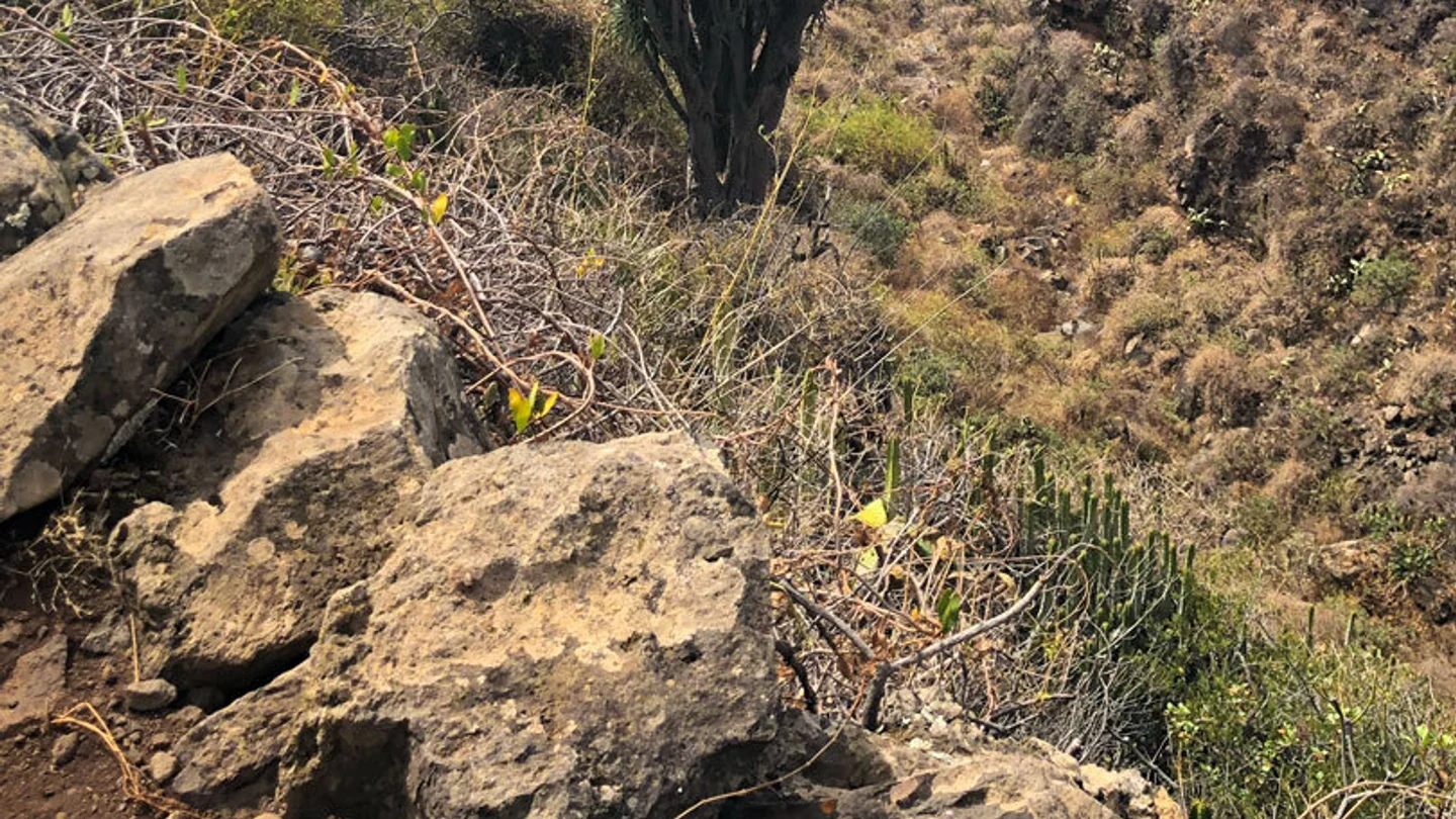
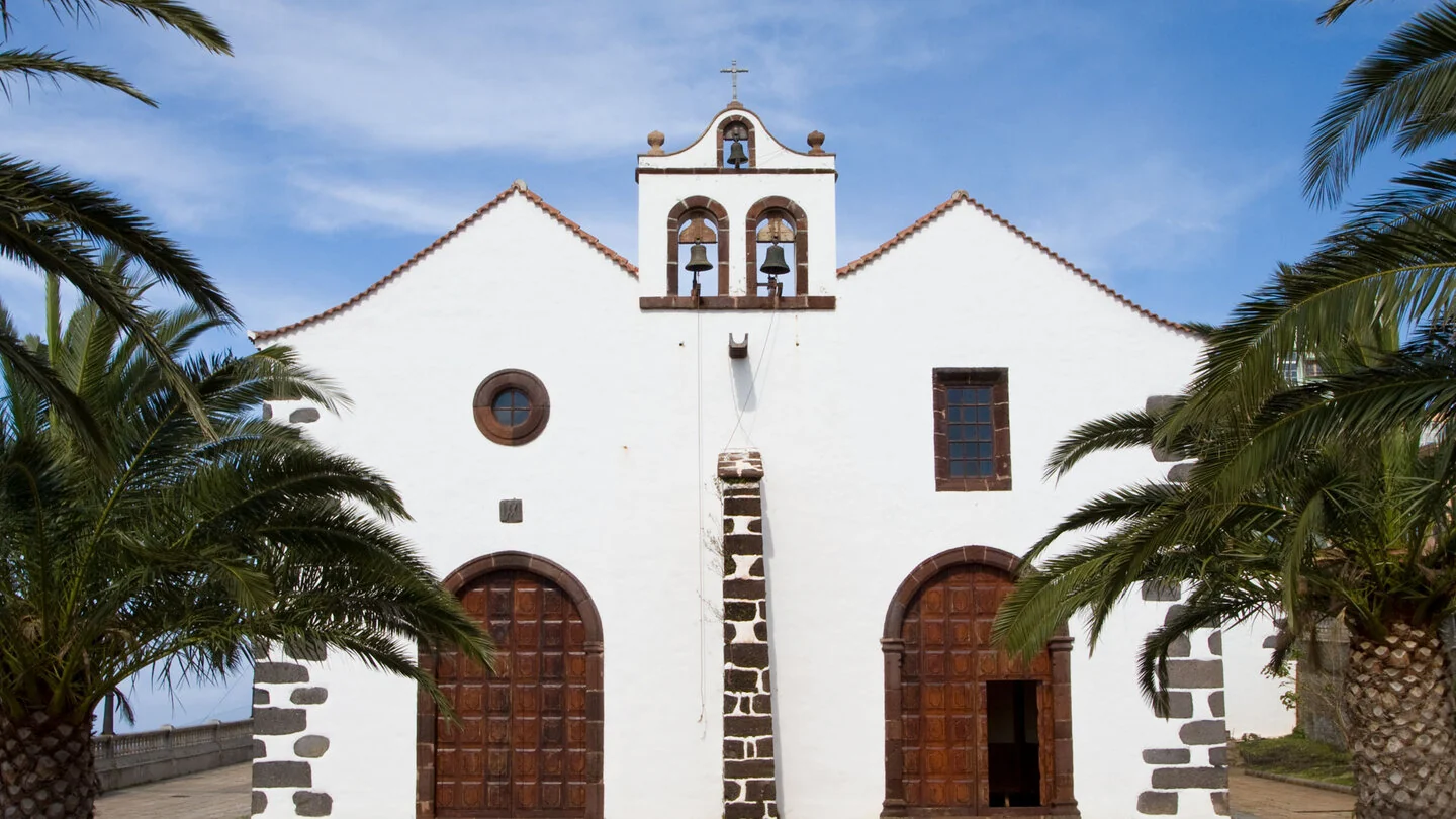
Before Santo Domingo, Barranco de la Luz demands one final steep descent and climb. Dragon trees grow beneath almost vertical basalt walls, while caves and overhangs were traditionally used as livestock shelters. After Mirador del Chorro, the route finally reaches Iglesia de la Luz and Plaza Baltasar Martín. Arriving in the village centre after so many remote ravines is an especially satisfying finish.
At 13.2 kilometres with around 1,100 metres of both ascent and descent, this is a long and physically demanding route. Sure-footedness, a head for heights, sturdy boots and ample water are essential; the final kilometres are strongly exposed to the sun. Start and finish lie far apart, so arrange a taxi or suitable bus connections in advance. The exact route, full tour description, current advice, elevation profile and GPS data are available from our partner Sunhikes.
On Sunhikes you will find comprehensive information about the tour, including GPS track, interactive 3D view, elevation profile and a detailed description.
Open the German original
Ready for this hike?
Plan your hike with GPS track, interactive 3D view and all essential tour data for a safe and perfect hike on La Palma.
👉 Automatically translate the Sunhikes tourOpen the German original
Nearby hiking routes
Discover more hikes nearby on La Palma, from easy trails to challenging routes with spectacular views.
Holiday Homes & Accommodation near Ortseingang El Tablado – Stay on La Palma
Selected holiday homes nearby – perfect for short distances, nature experiences and relaxing holidays on La Palma.


