
- Home
-
Point of Interest
MunicipalityCategory
 La Palma
La isla Bonita - Contact
- La Palma Blog

GR-130 Stage 3: Barlovento to Santo Domingo de Garafía

Hike overview

12h

Difficult

28,1 km

↑ 1416 m ↓ 1639 m
An insight into the hike:
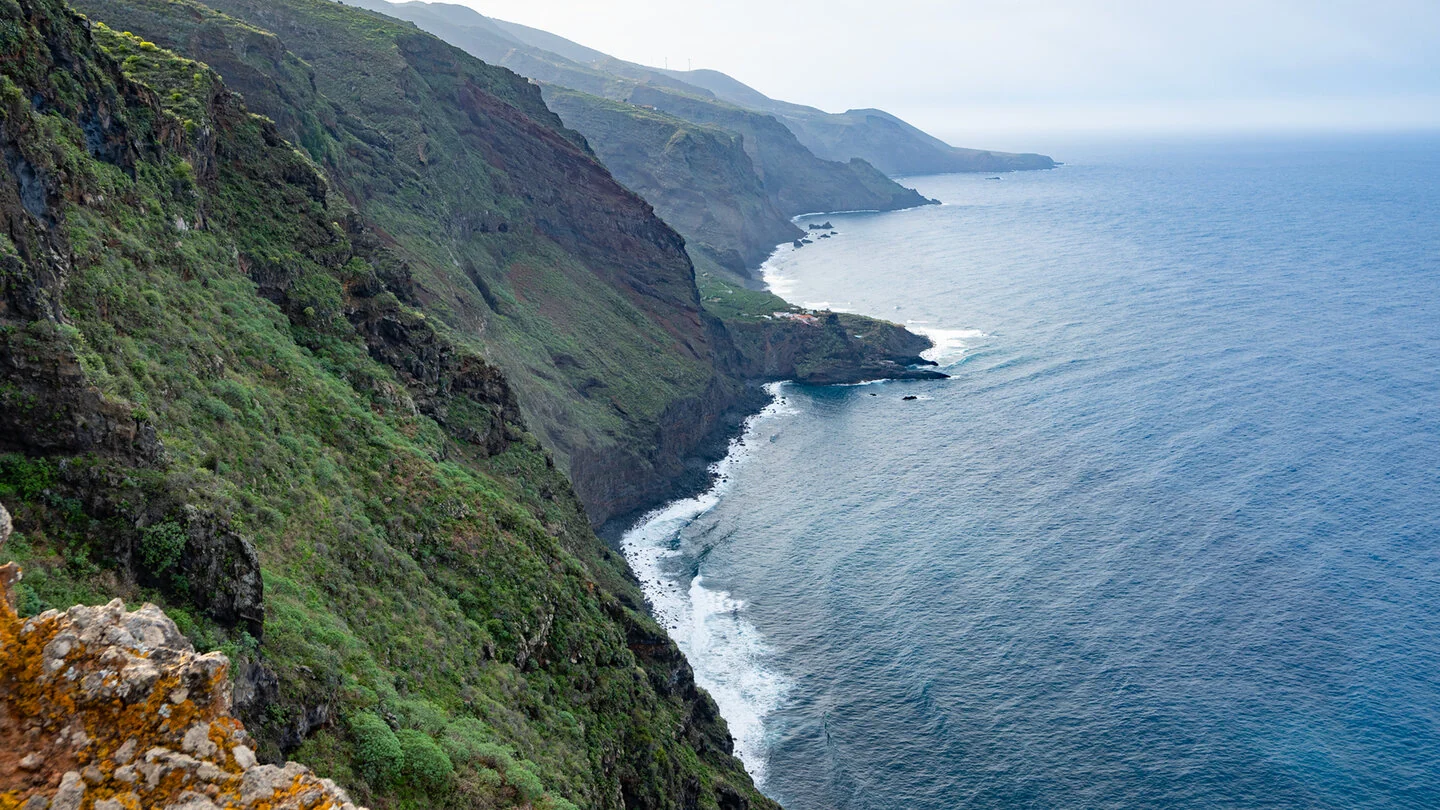
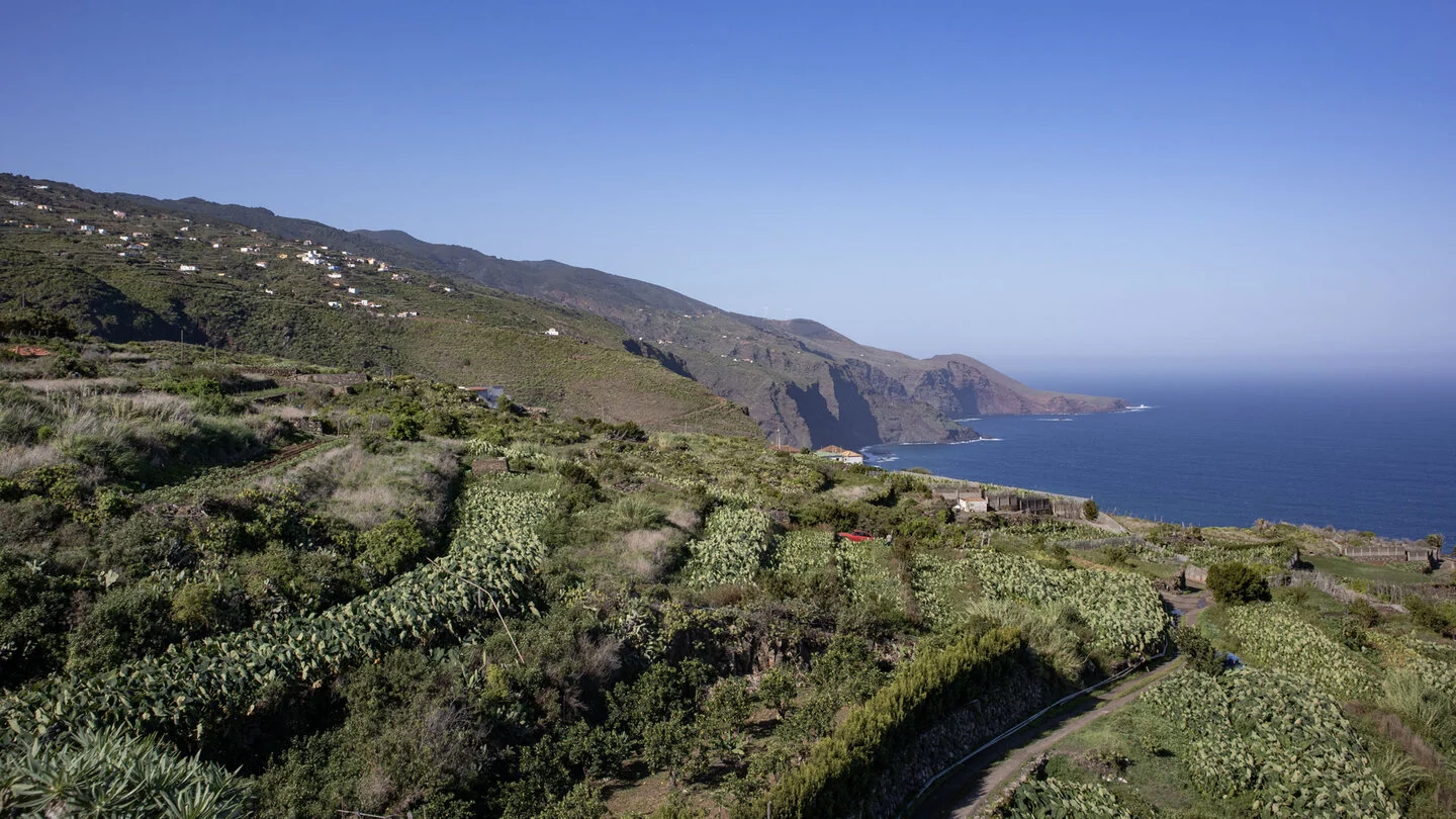
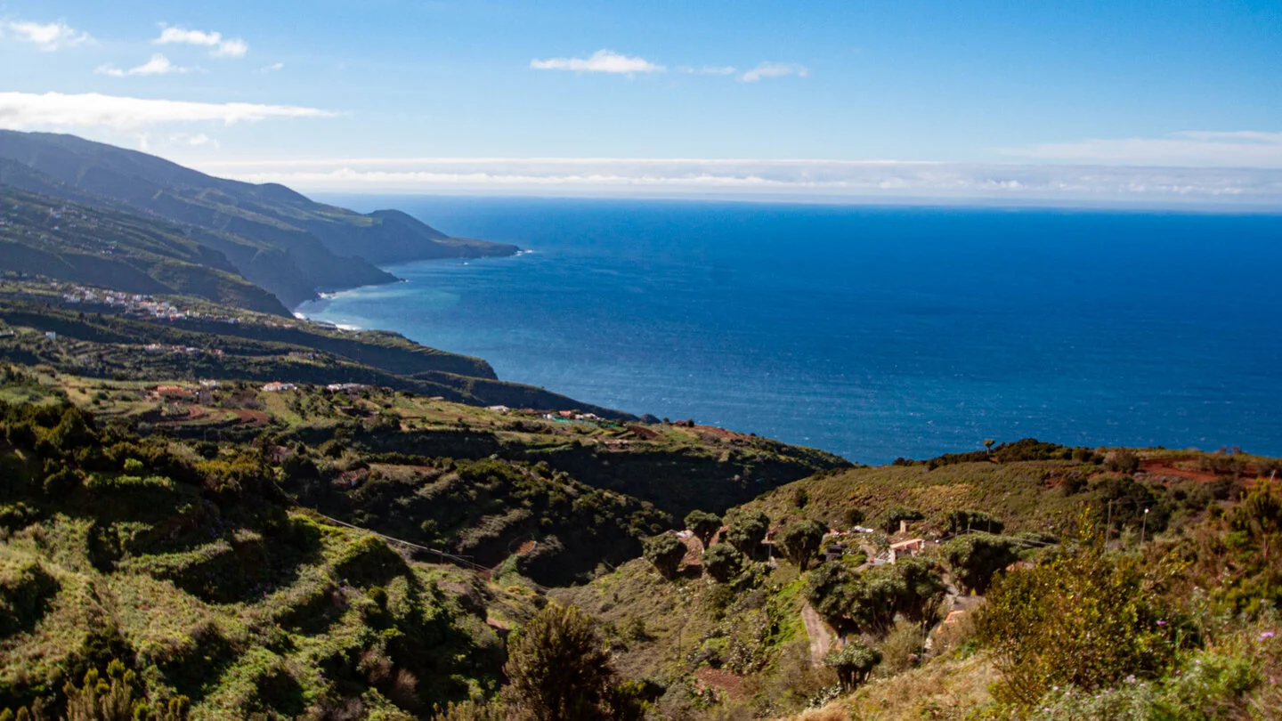
Stage three of the GR-130 crosses La Palma’s secluded north and is among the longest days on the Camino Real de la Costa. From central Barlovento, the old connecting path first passes through the cultivated landscape of Topaciegas. Terraces, scattered farms and views towards the broken coastline accompany the opening before the route enters increasingly deep ravines and damper vegetation.
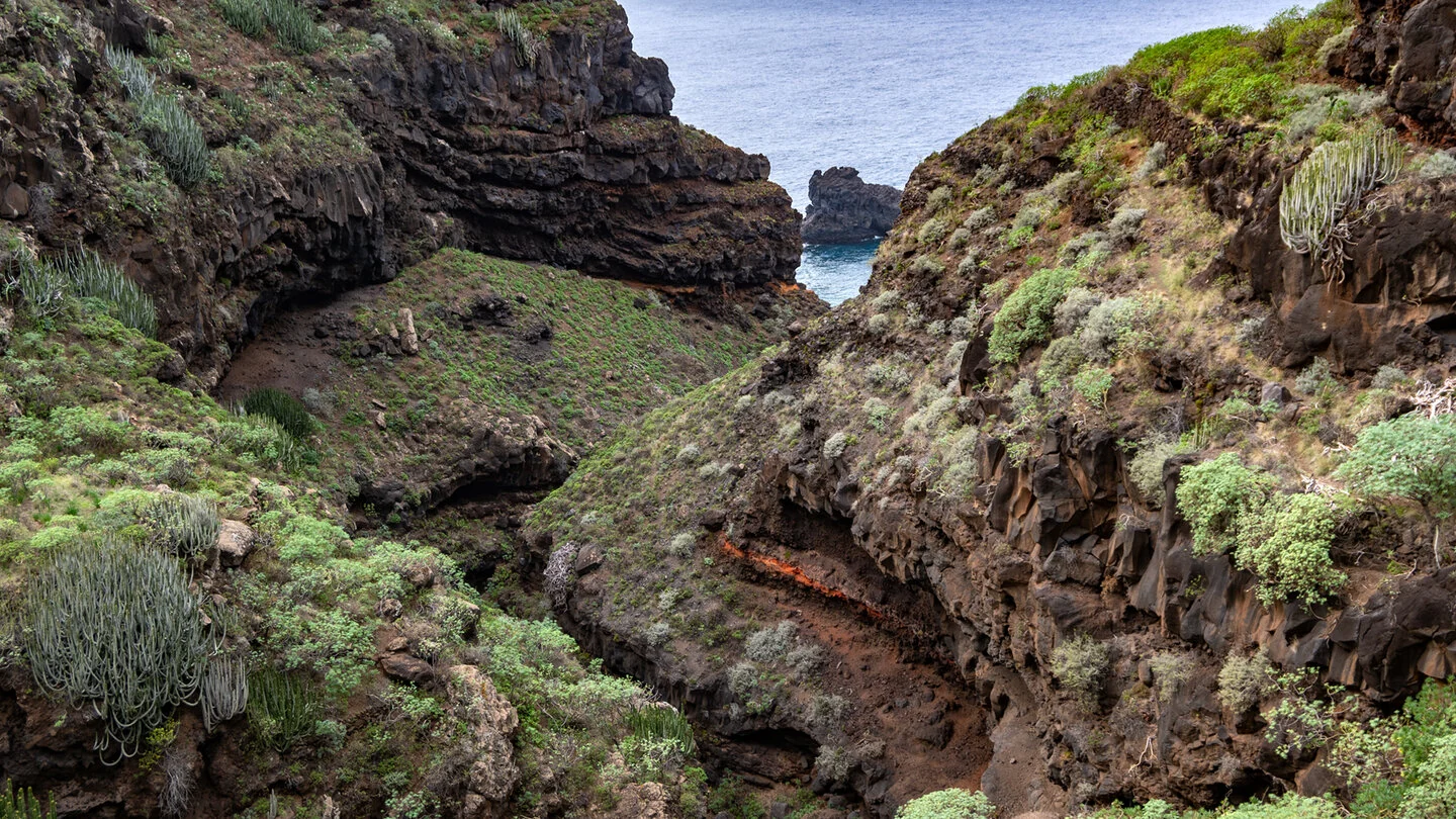
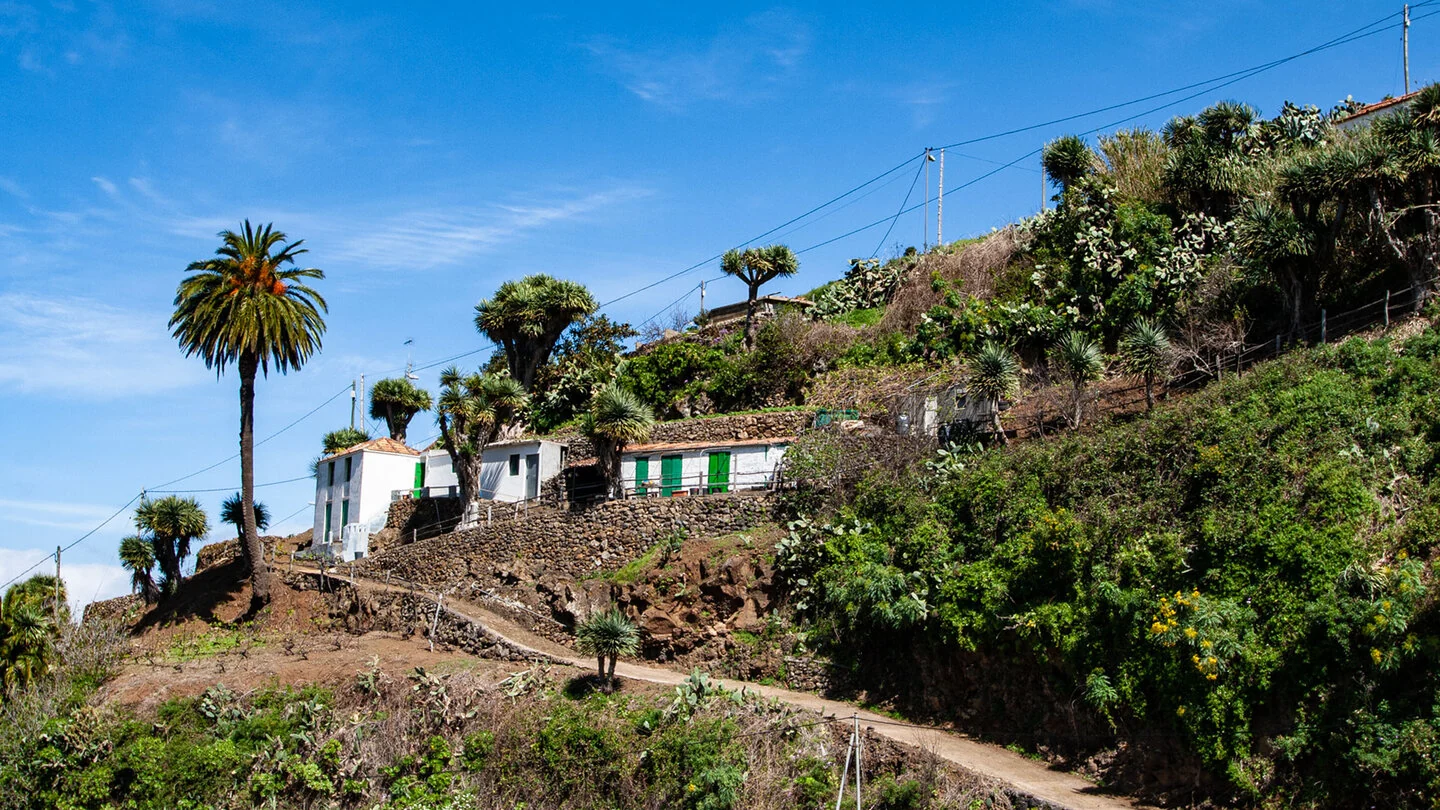
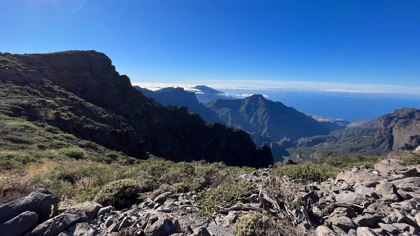
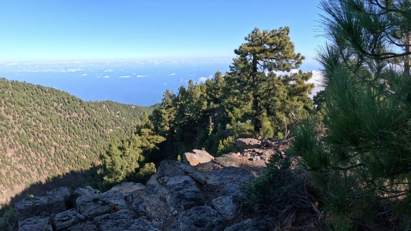
Around Gallegos and Franceses the north feels especially unspoilt. Laurel forest, tree heath, giant fennel and dragon trees grow on steep slopes, interspersed with small hamlets, historic paving and Atlantic viewpoints. The route touches Guelguén nature reserve and crosses several barrancos. Every descent is followed by another climb, so the coastal trail accumulates far more elevation than a map initially suggests.
Views into Barranco de Franceses and towards its mouth are particularly memorable. Remains of old harbour and transport links recall how difficult communication along this coast once was. Beyond Franceses, the repeated climbs and descents continue through sparsely inhabited country until Nuestra Señora de la Luz church and the houses of Santo Domingo de Garafía mark the stage finish.
At 28.1 kilometres with 1,416 metres up and 1,639 down, this is not an ordinary holiday walk. Sunhikes allows as much as twelve hours; a very early start, stable weather and honest self-assessment are essential. Steep paved sections become slippery when wet, and mobile reception is not reliable in every ravine. Water and food must be sufficient for a genuinely long day.
Our recommendation is clear: complete the stage in one day only if long mountain outings with repeated counter-climbs are familiar. For many visitors, dividing it with an overnight stay or arranged collection will be more enjoyable. Bus and taxi options in the north are limited and should never be assumed at short notice. Confirm transport, daylight and trail condition before leaving; Sunhikes provides the exact track, elevation profile and current information.
On Sunhikes you will find comprehensive information about the tour, including GPS track, interactive 3D view, elevation profile and a detailed description.
Open the German original
Ready for this hike?
Plan your hike with GPS track, interactive 3D view and all essential tour data for a safe and perfect hike on La Palma.
👉 Automatically translate the Sunhikes tourOpen the German original
Nearby hiking routes
Discover more hikes nearby on La Palma, from easy trails to challenging routes with spectacular views.

Holiday Homes & Accommodation near Ortszentrum von Barlovento am GR-130 – Stay on La Palma
Selected holiday homes nearby – perfect for short distances, nature experiences and relaxing holidays on La Palma.


