
- Home
-
Point of Interest
MunicipalityCategory
 La Palma
La isla Bonita - Contact
- La Palma Blog

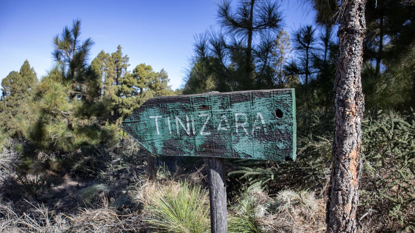
PR LP 12.1: Tinizara to Lomo de Las Piedras Altas
Hike overview

3h 15min

Difficult

5,3 km

↑ 1011 m ↓ 21 m
An insight into the hike:
PR LP 12.1 is a short but exceptionally steep link from the hamlet of Tinizara into the high country above Tijarafe. It starts on Camino La Ermita, where the yellow-and-white path leaves GR-130. The LP-1 is crossed almost immediately. Among scattered houses, small fields and gardens, the route climbs virtually straight uphill without a gentle introduction.
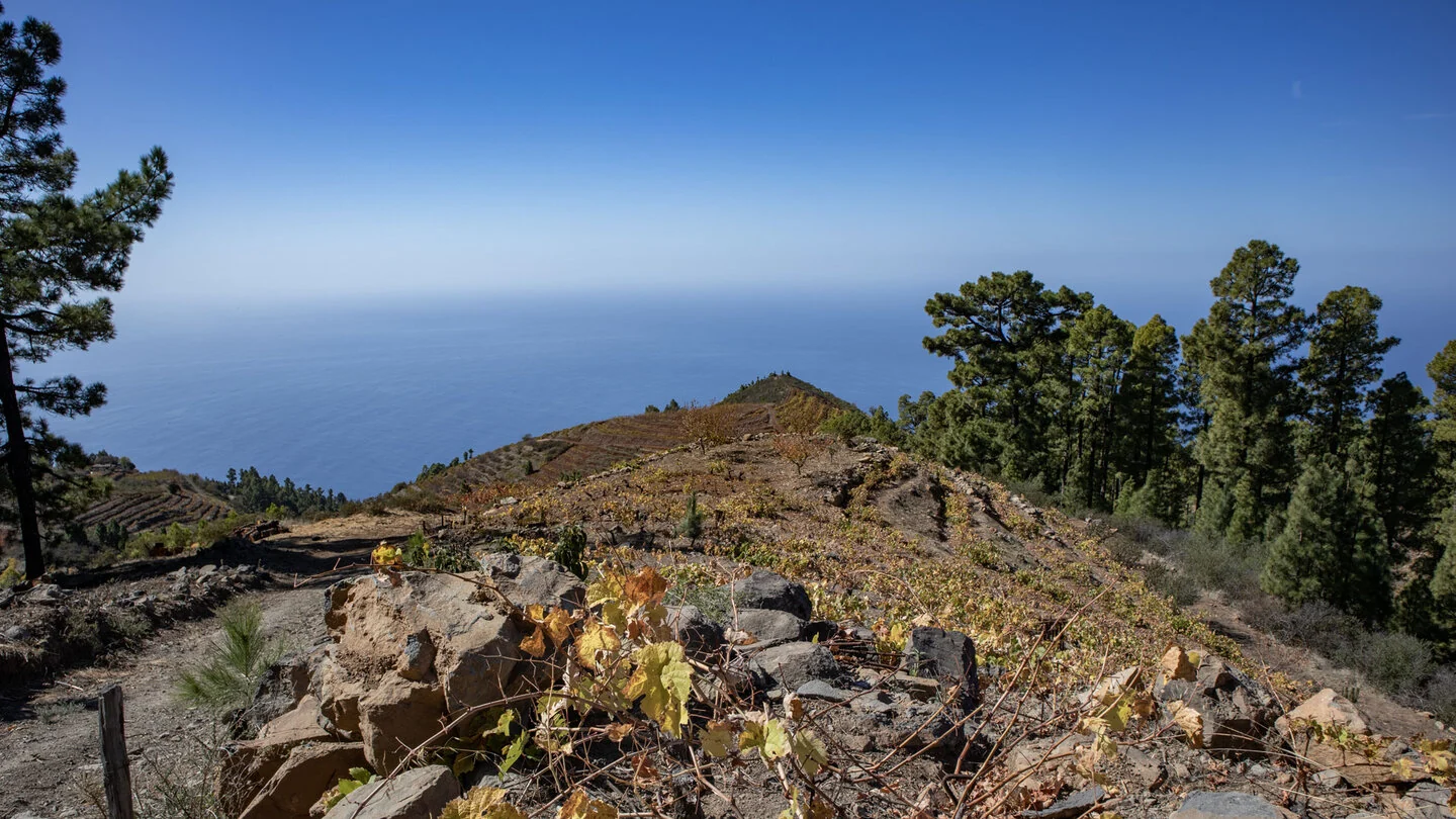
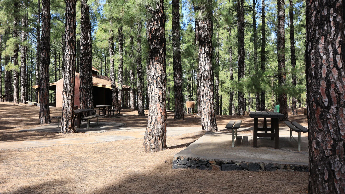
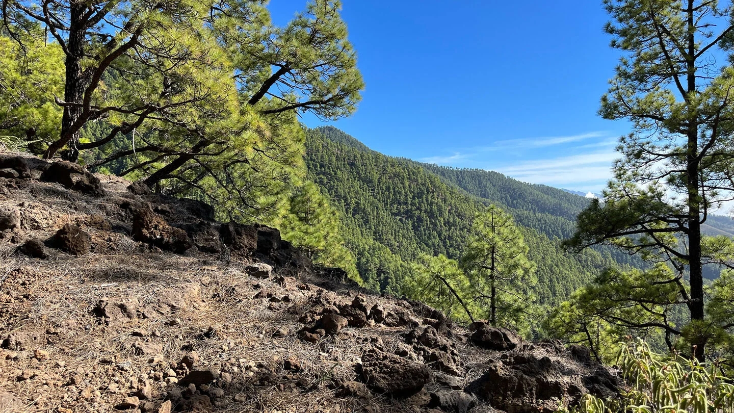
It repeatedly crosses Camino los Riveroles, the vehicle track to Refugio Tinizara. After roughly 1.2 kilometres, it reaches Área Recreativa Llano del Lance in shaded pine forest. This picnic and barbecue area makes a useful early water stop because most of the height gain is still ahead. Terraced vineyards follow above, with broad views over the west coast and Atlantic.
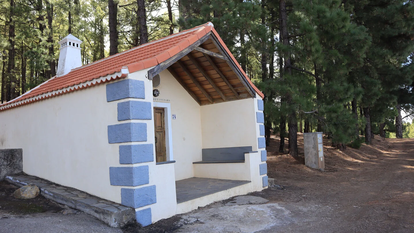
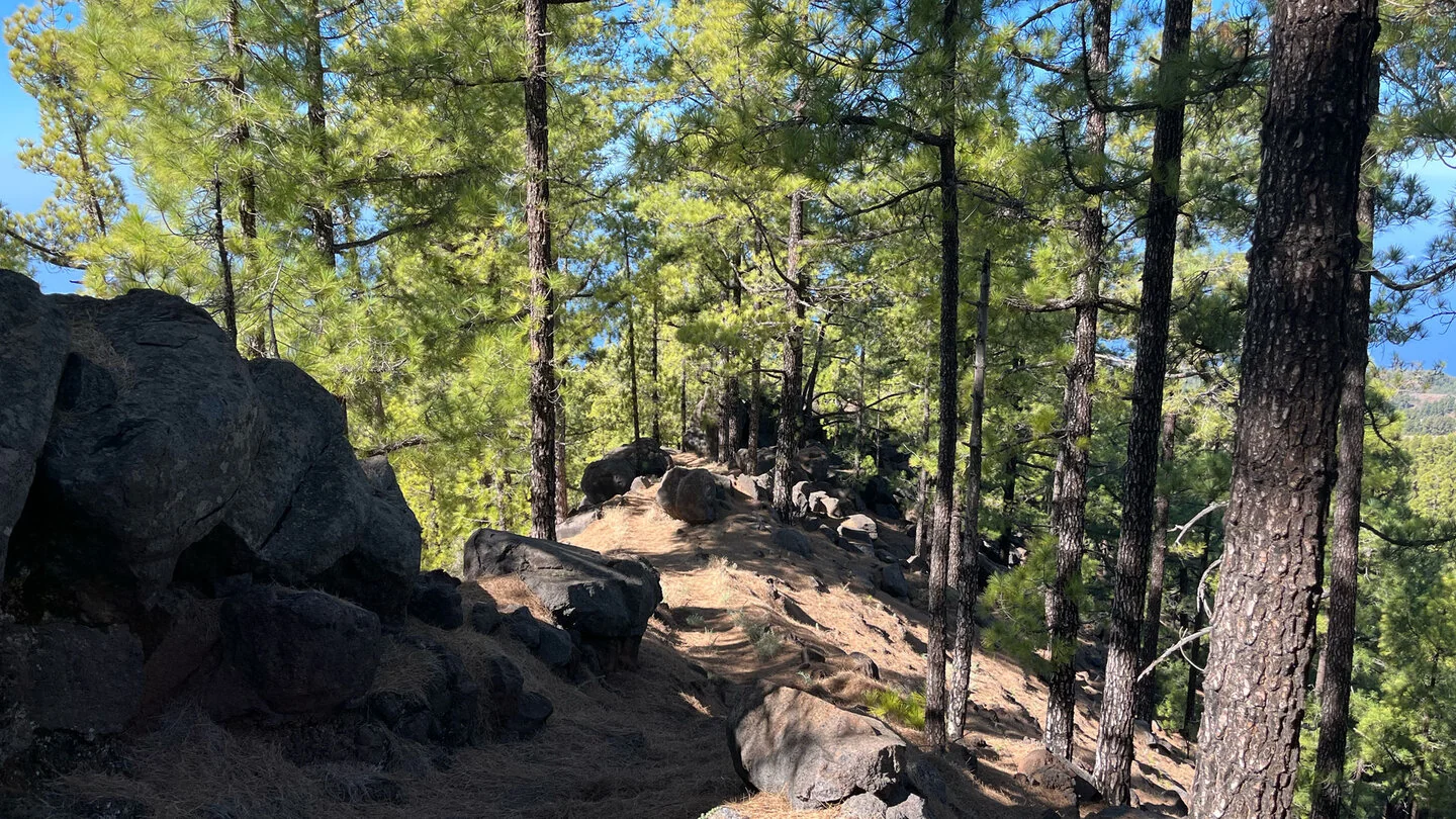
Refugio Tinizara stands among the pines after about 2.8 kilometres. PR LP 10 crosses here and opens several combination options. PR LP 12.1 continues upward, briefly leaves the shady forest after about 500 metres and climbs steeply once more through the wine-growing zone. It crosses a broad track before open pine forest covers the final ridge.
The trail ends at Lomo de Las Piedras Altas around 1,860 metres, where it meets PR LP 12. Its figures are remarkable: 5.3 kilometres, 1,011 metres of ascent and only 21 metres down. The surface may be technically moderate in places, but the unbroken climb is physically difficult. Sun and heat in the exposed vineyards add to the effort.
As a point-to-point walk, PR LP 12.1 ends far from a public road. It is therefore mainly useful as a building block for a larger route: returning the same way, combining PR LP 10 with GR-130 or continuing on PR LP 12 must be planned completely in advance. A spontaneous taxi pickup at the ridge is impossible. Ample water, time reserves and a clear onward plan are crucial. Sunhikes provides detailed junctions, profile and current conditions.
On Sunhikes you will find comprehensive information about the tour, including GPS track, interactive 3D view, elevation profile and a detailed description.
Open the German original
Ready for this hike?
Plan your hike with GPS track, interactive 3D view and all essential tour data for a safe and perfect hike on La Palma.
👉 Automatically translate the Sunhikes tourOpen the German original
Nearby hiking routes
Discover more hikes nearby on La Palma, from easy trails to challenging routes with spectacular views.

Holiday Homes & Accommodation near Camino La Ermita in Tinizara – Stay on La Palma
Selected holiday homes nearby – perfect for short distances, nature experiences and relaxing holidays on La Palma.


